Here I am in a wheelchair in Flores, Guatemala, looking at a daunting set of stairs.
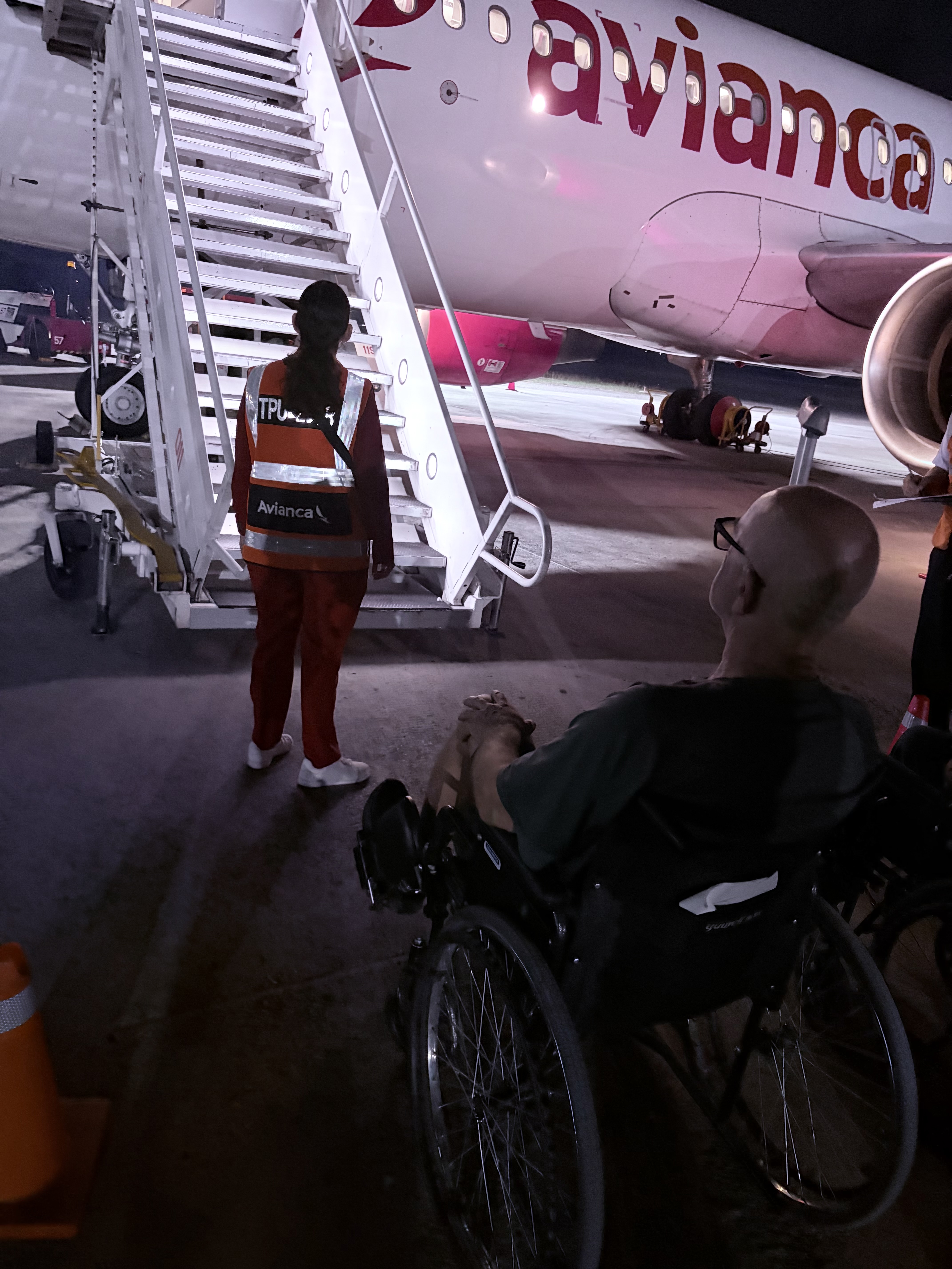
I injured my knee severely during a vacation trip in a remote city in northern Guatemala. The trip home was daunting. Airline staff wheeled me to the plane. Now I had to make it up those stairs with only one good leg and a set of rickety crutches.
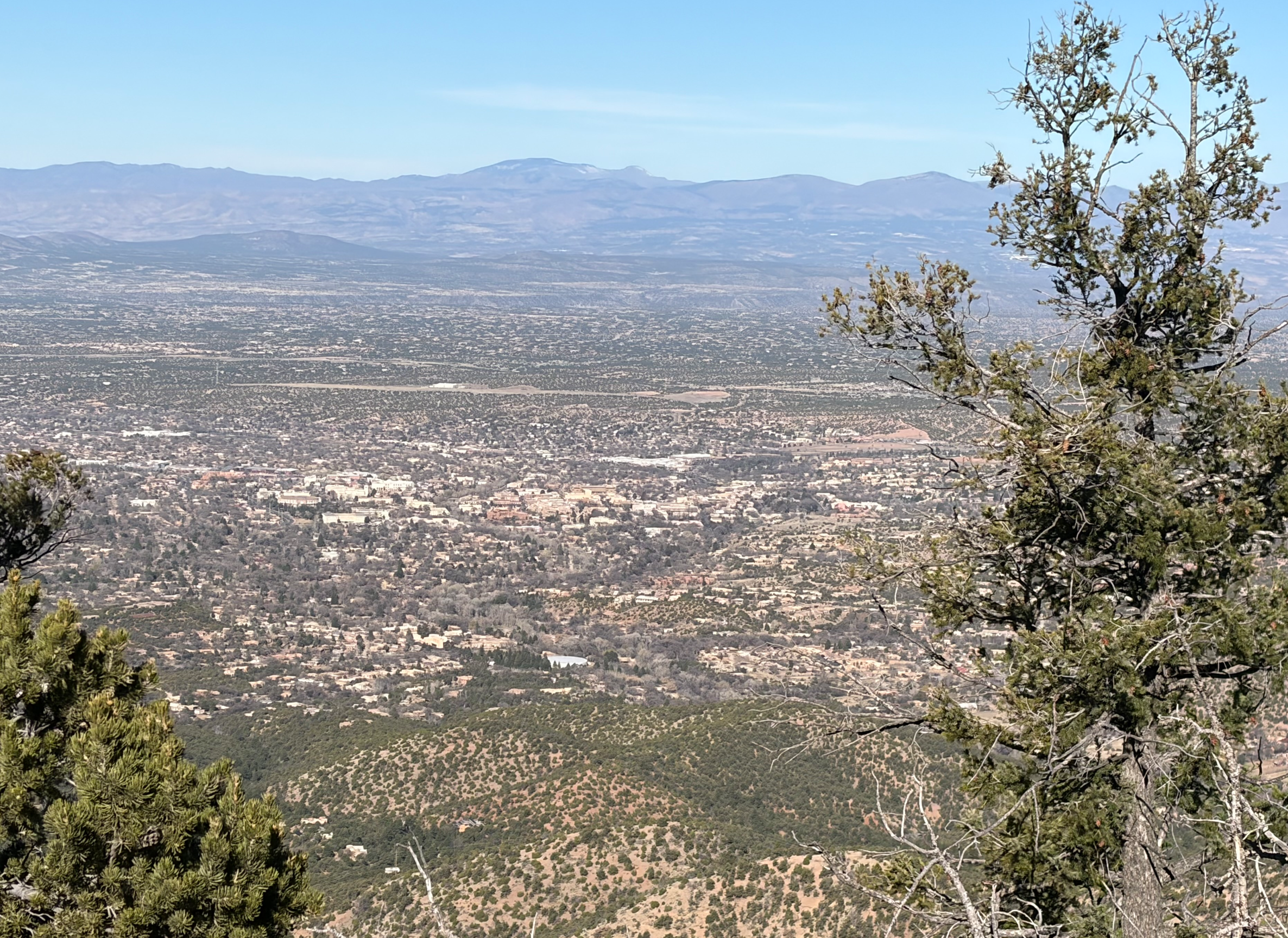
Within 24 hours of the accident, I had to travel by helicopter, boat, car and airline and enter a hotel room in the jungle accessible only by stairs up and down. Then the trip home to the United States, with a layover in Dallas, getting through customs at the DFW airport, with its endlessly long hallways, luggage areas, immigration queues and security lines, let alone the train between terminals, gave me a new appreciation of the challenges handicapped people have to deal with just to get around.
I destroyed my knee, but I gained invaluable insight into the hardships less able-bodied people than I have to face every day of their lives.
Of course, to get me home, it took a whole pit crew. My wife pushing the wheelchair and propping me up when navigating stairs on crutches. Our Guatemalan friends making appointments for emergency room visits and MRI scans. My Spanish is nowhere near good enough to make medical appointments or fill out patient information sheets. Our travel buddies propping me up under both shoulders getting me out of the boat hopping on one leg. Here is part of my pit crew in the lobby of the emergency room:

I don’t know what I would have done had I been alone. Friends are everything.