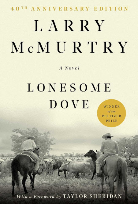
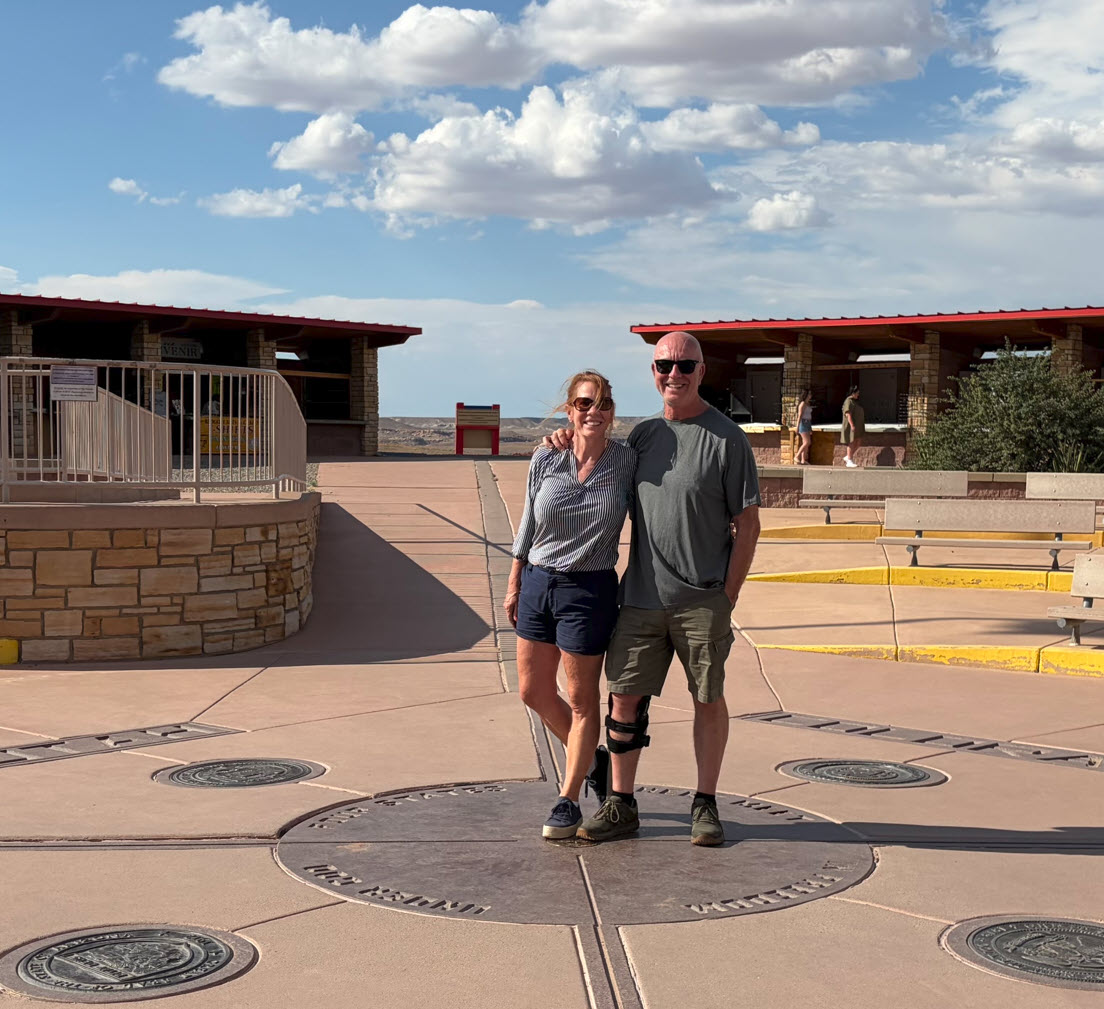
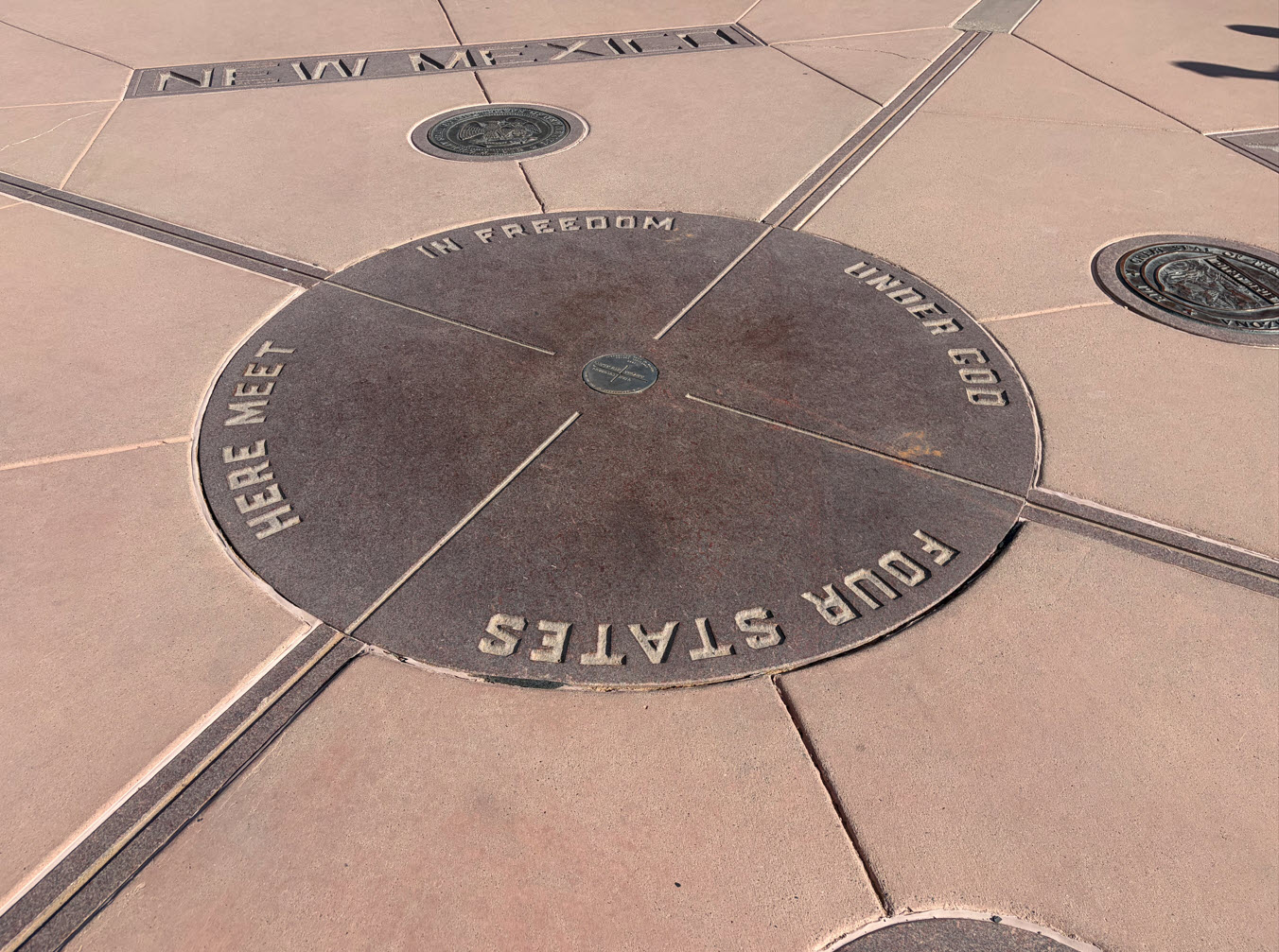
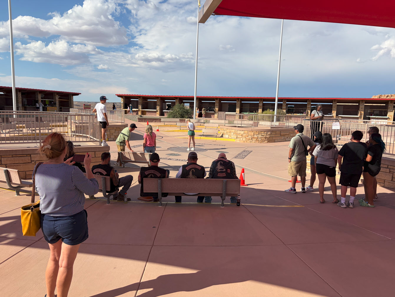
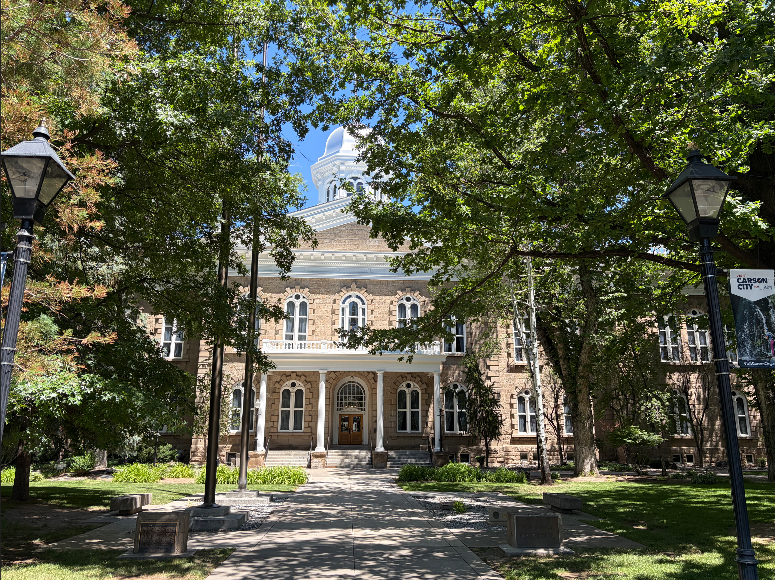
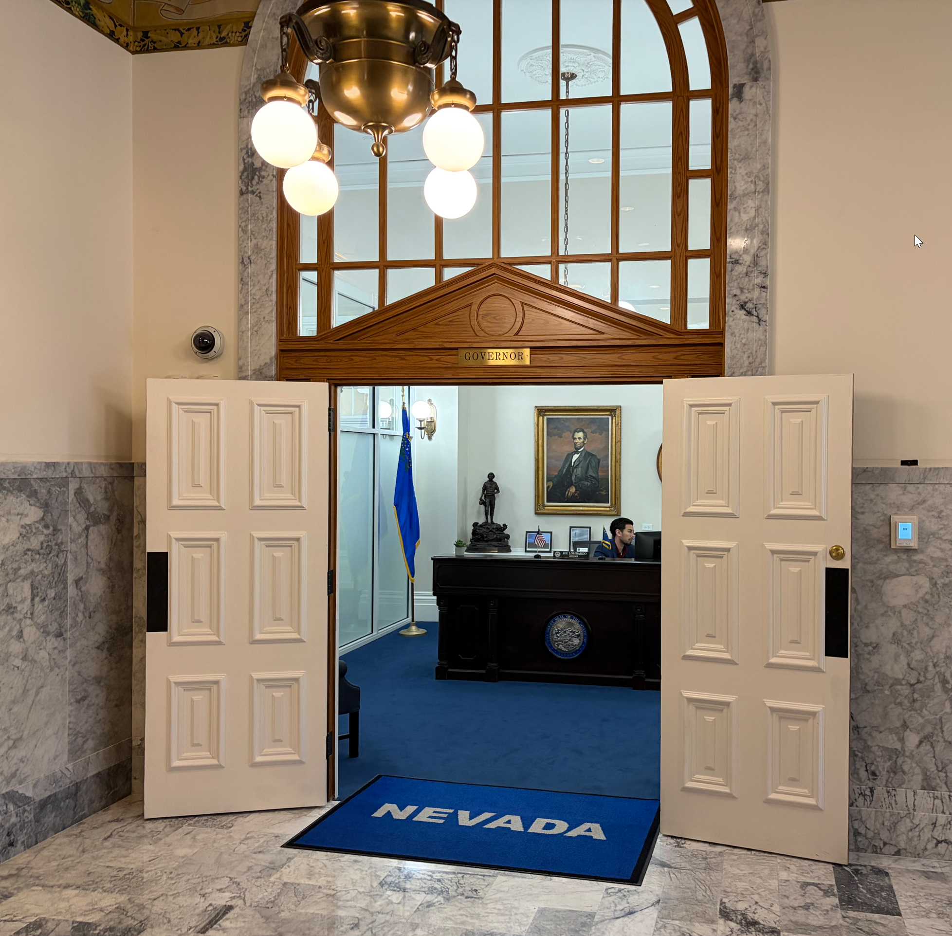
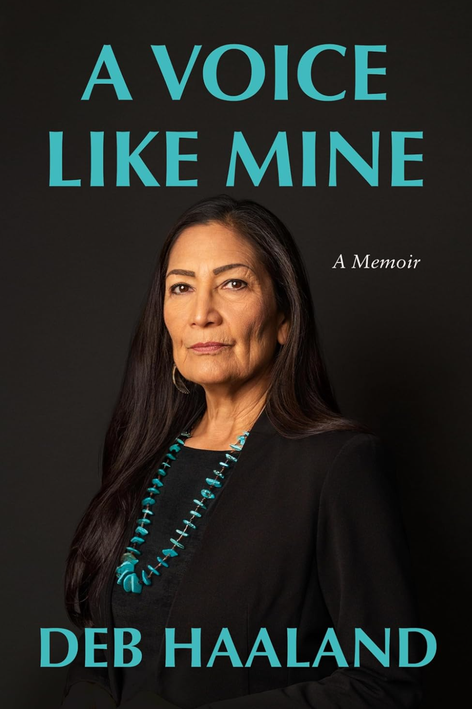
Pikes Peak is the prominent mountain just west of Colorado Springs. The summit at 14,115 feet (4,302m) above sea level is higher than any point in the United States east of its longitude.
There are only 96 mountains in the United States that are over 14,000 feet tall. They are generally referred to as the Fourteeners. 53 of them are in Colorado. There are 29 in Alaska, 12 in California and 2 in Washington.
Pikes Peak is only the second Fourteener I have been on. Mount Whitney, the tallest mountain outside of Alaska, being the first one.
The view at the summit of Pikes Peak is commonly believed to have inspired the songwriter and poet Katharine Lee Bates to write “America the Beautiful” in 1893.
I decided that I needed to get to know this mountain. It is fairly unique, since there is a road that allows cars to drive to the top. There is also a cog railway which takes tourists to the top in about 75 minutes. I took the cog railway to the top and then hiked down. I figured this was a safe way to “get to know the mountain” without taking any undue risks to my health and safety. I am glad I did.
The trip from the peak down back to the train depot was 12.5 miles long, descending through 7500 vertical feet from 14,115 to about 6,500 feet. I left the top at 10:30. It took me about 6.5 hours. My 69-year-old feet and knees were mush by the time I got to the bottom. But I did it, and I am glad for it. There are more hikes on Pikes Peak waiting for me, no doubt.

Below is the view from my hotel window in Colorado Springs the morning of my hike. The tall peak in the back is Pikes Peak. You can see it got a dusting of snow in the previous few days. I was equipped to deal with that. I had additional layers of clothes and my micro spikes for my boots, in case the trail was icy.

I took the famous cog railway to the top. The ticket is about $80 round trip. I had a round trip ticket since I didn’t know what the conditions at the top would be and I needed to be able to abort my quest, just in case. The train holds about 260 people, tourists of all ages. It takes about 75 minutes to get to the top, and then they allow you about an hour to tool around before going back down. Most people are not accustomed to 14,000 foot altitude. There is a noticeable lack of oxygen at the top of the mountain.
Below is a view from the parking lot. This is also eerie, seeing cars at that altitude in that environment. In the background you can see the visitor center on top of the mountain. It is a huge building, with restaurants, gift shops, museums, and all you might look for at a tourist attraction.

Here is a picture of the train we came up on. The trail starts on the other side of the tracks. I had to walk around the front of the train.

Here I am at a small set of wooden steps down from the train platform to my right, and the trail starts here. It was snowy, packed with about 6 – 12 inches of snow, but not icy, and I decided to just walk in my boots. I never used my spikes.

After a few minutes, the train station, and the tourists, and all of gross-national-product-land was left behind. I was utterly alone, on top of a huge mountain, on a snowy trail, with more than 12 miles of walking ahead of me.

Here is a photo of the trail in the snow.

As I descended the many switchbacks through the snow section, I was able to look down into the distant valley of Colorado Springs. Looking east to the horizon, that would be Kansas. I am about to leave the snow fields.

Another view down into the valley where I am going, from the edge of the snow.

From that point, I turned around and looked back from where I had just come from. On the top you can just see the roof of the giant visitor center at the top of the mountain.

Here is the trail where I finally leave the snow behind.

On the upper sections, between 13,000 and 12,000 feet of elevation, the trail is actually quite easy, sandy and fairly level.

Again, with the trail in the foreground, we can see to summit ridge in the distant back.

After about an hour and a half of hiking, I finally entered the tree line at 12,000 feet.

Four miles down, looking back up, I saw this sign. It warns hikers going up that they are entering a danger zone. “Your life depends on your ability to hike back down.” This does not seem so bad when the weather is nice like it was for me, but it can be deadly for an unprepared hiker getting caught in inclement weather this high on the mountain.

There are sections at this altitude where the trail is quite easy and fairly level.

Further on down, there are planks that stabilize the trail, which make hiking a bit harder, as they require larger steps over them. There are hundreds and hundreds of those, making walking challenging.

About halfway down there are mile-long sections of trail that are almost flat. I made very good time in those. They are shown in red on the trail map above. Red indicates high hiking speed.

Here is a look back to the top of the mountain from where I came.

Below is the same view as the top, but zoomed in on the mountain. You can still make out the visitor center as a little nubby on the top. The ice field to the left of the center is where I hiked down through switchbacks.

Finally a good view of Colorado Springs.

In the lower sections, the boulders are gigantic, and the trail sometimes goes right under and through them.

The trail at this level is more maintained, with fences along the side, although the fences are often in a state of disrepair.

Here is a view of the bottom cog rail station from the trail. That’s where I need to go. When I took this picture, my legs were rubbery already, and my knees and feet screamed for relief.

At about 5:00pm I looked down and saw the train with tourists arrive. The last train leaves the top at 4:00pm, and it takes about an hour to come down.

And always with any hike, there are the last steps. Here is the parking lot where anyone hiking up the mountain starts from.
Ahh, I have finally made it.

Ironically, I saw no wildlife on the entire trail. But this is what greeted me on the parking lot. Mule deer.

Hiking down Pikes Peak was an amazing experience and a great way to get to know the mountain. I loved every minute of it. My feet and knees were in pain in the last few hours, but that’s expected at my age. Now as I am writing this post about two days after the hike, my muscles are still sore, but it’s a good sore, and I am already wondering what my next big hike will be.
Like this:
Like Loading...