I am currently reading The Comfort of Crows – by Margaret Renkl. It’s a book of chapters, one for each week of the year. I usually just read one chapter per session.
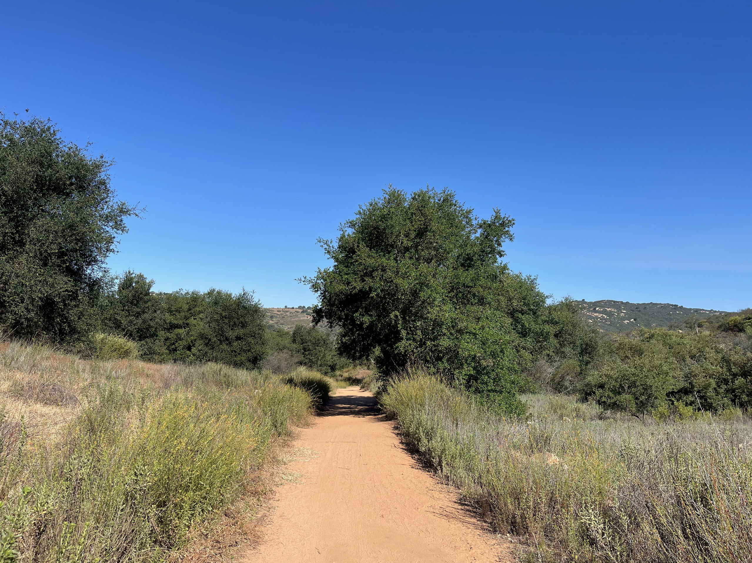
This one – an excerpt of Spring – Week 5 gave me pause and made me rethink the grass I am trying to grow in my backyard – unsuccessfully.
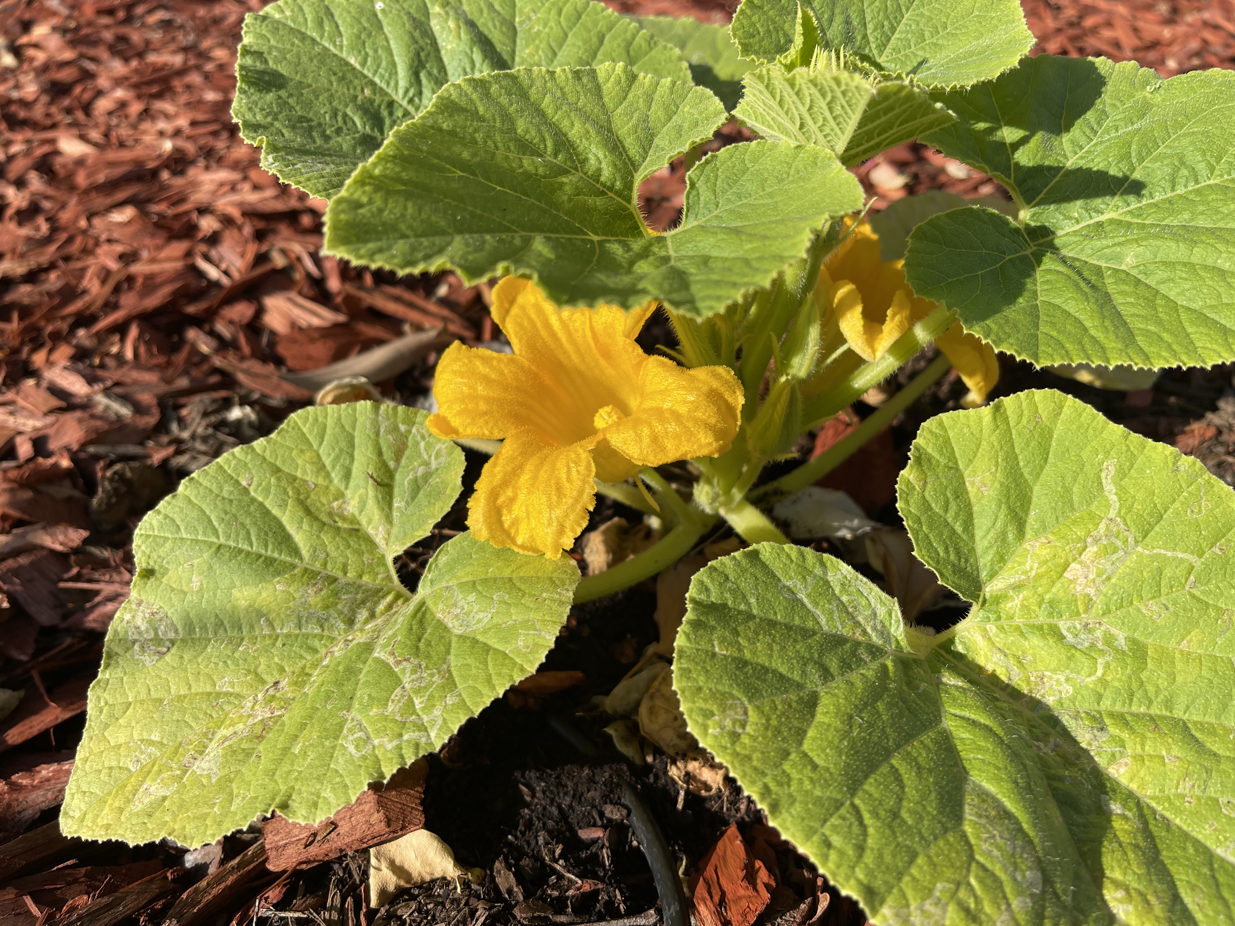
The flowering trees—dogwoods and redbuds and serviceberries, crab apples and peaches and cherries—are in full splendor now, and every time it rains, the streets are paved with petals. But the flowers I love best are the tiny ones, invisible from a car window. Exquisite flowers, most of them smaller than my pinkie fingernail, bloom all around my house in April, and they have wonderful names: woodland violet, spring beauty, daisy fleabane, pitcher’s stitchwort, birdeye speedwell, yellow wood sorrel, purple deadnettle, creeping Charlie, dandelion, and many others. Something new every day. Most people call them weeds.
A few of these flowers aren’t native to Tennessee, and some of the non-natives can be invasive. Those I pull up, or Haywood mows down, but the others are beneficial, early blooming wildflowers that pollinators need. Long before my actual pollinator garden is lush with cultivated flowers, the flowers I didn’t plant are blooming, an ankle-high meadow thriving in the place where most Americans grow grass. Wildflower seeds are carried on the wind, on the coats of animals, and in the digestive tracts of birds. Anybody paying attention would see them for the gifts they are: flowers that arrive, through no effort, to feed the bees and the butterflies.
Suburbia isn’t paying attention. Homeowners are still in thrall to a status symbol invented by English nobility. People enraptured with the idea of a lawn as a rolling carpet of grass, a green that remains green even during seasons when grass is supposed to be dormant, can’t help but see these homely flowers as intruders. They consider this question, if they consider it at all, as a matter of personal preference: I like wildflowers, and they like grass. But with biodiversity disappearing from every ecosystem on the planet, including our own, our preferences aren’t ethically equal. Lawns are a waste of precious water and soil because non-native landscaping like turf grass and boxwoods and crepe myrtles and Yoshino cherry trees provide little habitat or food for native wildlife. Worse, a manicured lawn requires many different poisons to maintain.
The wind that carries wildflower seeds to my uncultivated yard also carries wildflower seeds to my neighbors’ highly cultivated grass. It’s not easy to pull all those weeds, so homeowners—or their lawn services—set out poisons that keep the seeds from germinating. Then they spray a different poison that kills any plants that germinate anyway. Still another poison kills the insects that eat the “desirable” plants. Yet another kills the field mice trying to survive in a place without fields. And those poisons don’t stay put. They end up in the air and the water. They end up in our bodies, linked to asthma, Alzheimer’s, Parkinson’s, autism, and several cancers.
It kills me to think of my baby bluebirds hunting poisoned insects in the yard next door. It kills me to think of Cooper’s hawks eating the poisoned bluebirds. Every time I see my neighbors’ children rolling around on their poisoned lawns, absorbing into their skin and breathing into their lungs these dangerous endocrine disrupters, I have to work hard not to cry. So much life is imperiled by what is merely fashionable: a green lawn, a tidy yard. It makes me feel lonely to think about it.
— from The Comfort of Crows – by Margaret Renkl – Wildflowers at My Feet and Songbirds in My Trees – Spring – Week 5