Hiking Boulder Loop in Daley Ranch

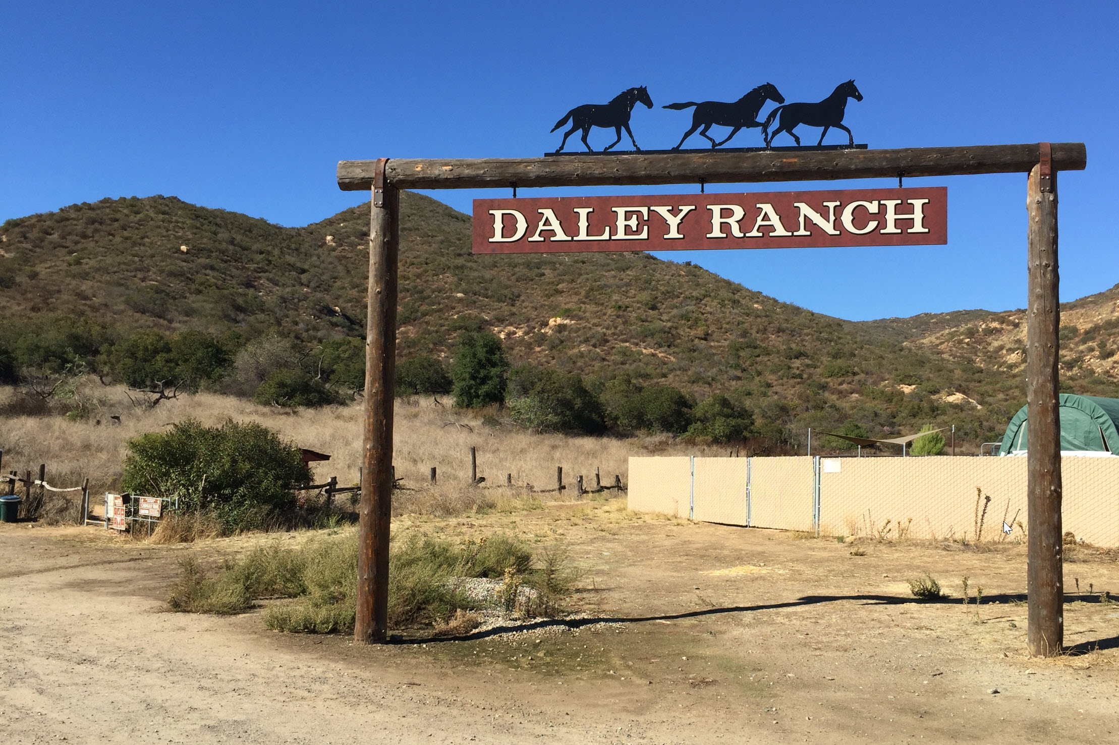
The Boulder Loop in Daley Ranch is a nice hike with great scenery that you can do in a couple of hours. The elevation change of 666 feet from the parking lot is enough to get the heartrate up, but it does not take too much out of you.

The hike starts at the bottom of the map at the parking lot for Daley Ranch in Escondido at 900 feet elevation. It ascends the paved road toward the ranch for about .68 miles, when the actual loop starts. I walked it in the clockwise direction, which I would recommend. The loop itself is about 2.5 miles long. The whole hike is 3.75 miles. Note on the way back, when I stopped for water and put my backpack on, I accidentally put my GPS on pause until I discovered it back at the parking lot, hence the straight line (red arrow) on my map. The hike peaks out at about 1,500 feet elevation and most of the loop is in a high plateau. The climbing is steep but is over with after the first 30 minutes.

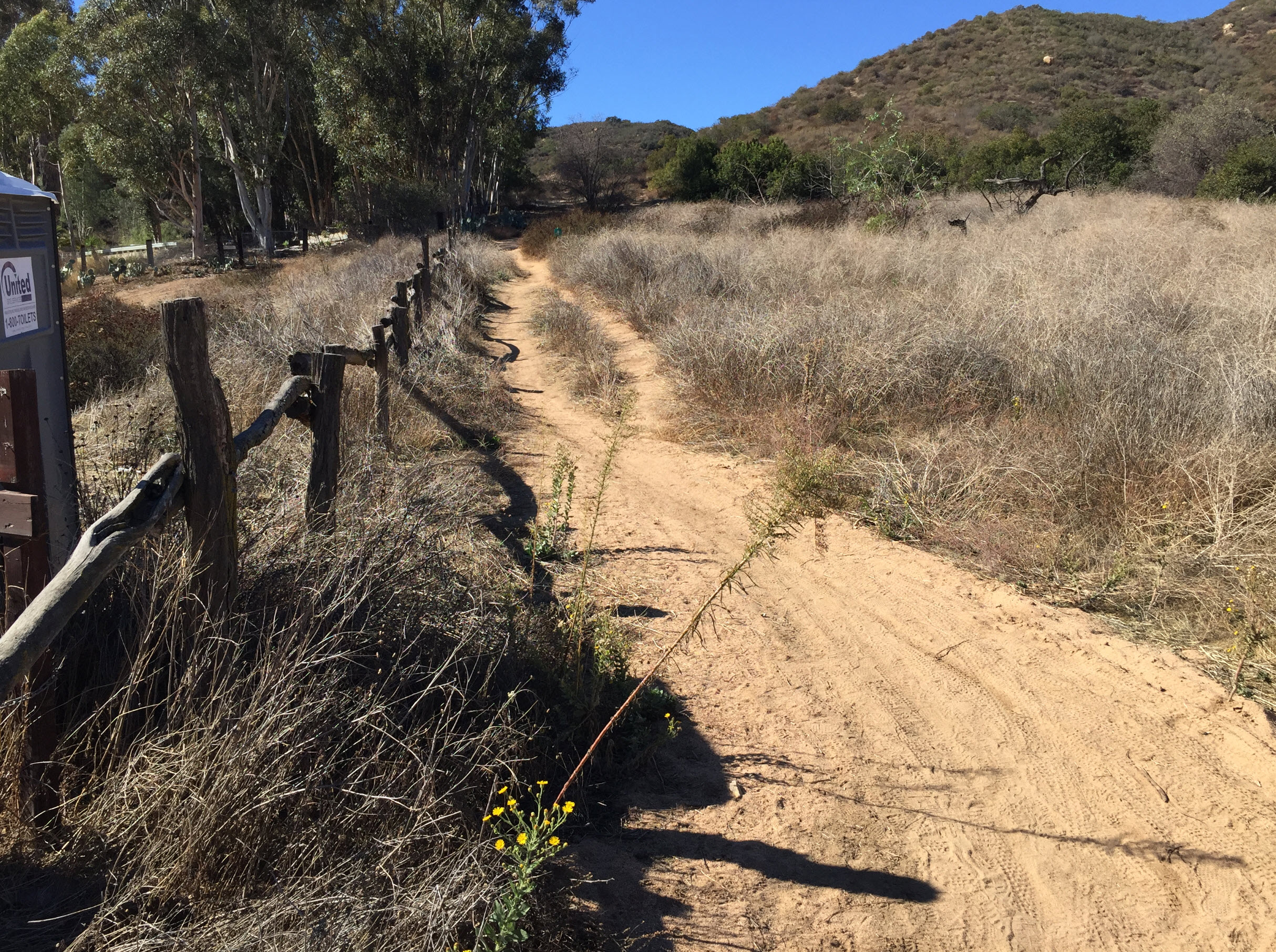
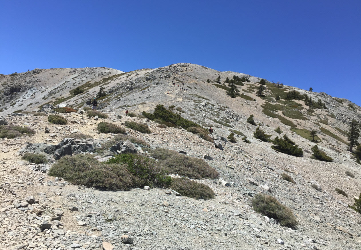
Most of the hike is on well maintained access dirt roads, like this one:

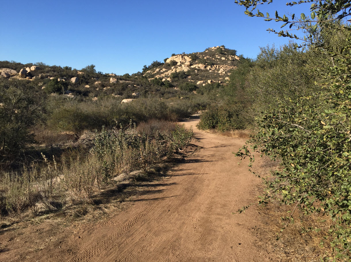
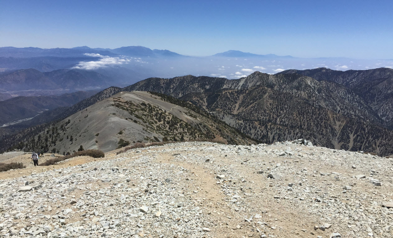
This photo is taken from the plateau at about 1,400 feet, about half way through the loop. It’s a great, short trip for a mountain bike, if you don’t mind the steep climb at the beginning.

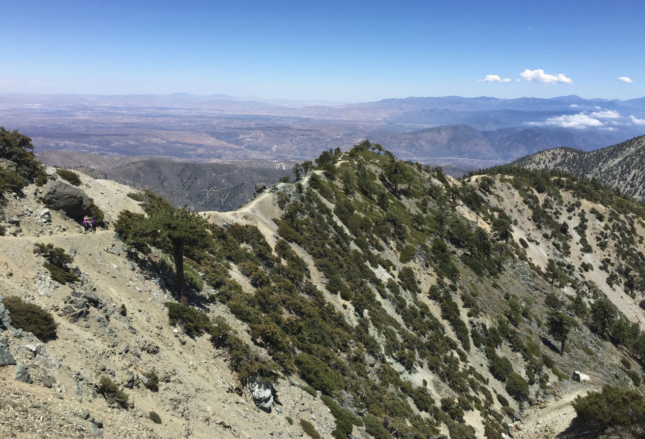
The views are tremendous. To the north-east, you can see the broad ridge of Palomar Mountain and, with the digital zoom on my iPhone, you can barely make out the white single-pixel dot of the giant dome of the world-famous Palomar Observatory some thirty miles away as the crow flies.

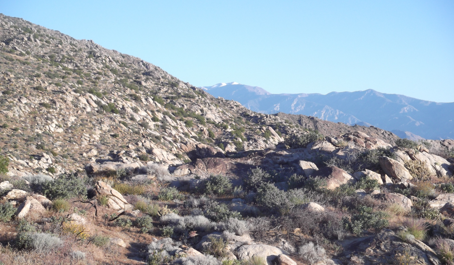
Looking south-east you can see Cuyamaca Peak, at over 6,000 feet one of the highest peaks in San Diego County. Taking this picture I made a mental note I should go back there for a hike soon – it’s been many years that I have been on the top of Cuyamaca.

Much closer to home, to the east, is Stanley Peak, which I hiked just a few weeks ago and reviewed here.

Of course, the hike is called Boulder Loop for a reason. There are massive boulder fields everywhere.

Here are some more, and you can see some of the ancient dead oak trees that seem to be everywhere in the Southern California highlands.

Here is a view down into the central part of the ranch where the pond reflects the blue sky. In the foreground, you can see the thick, impenetrable brush that covers all the land.

That brings me to another pet peeve of mine – our outgoing president constantly harassing the State of California for not “raking its forests” and thereby inviting more devastating forest fires.

Obviously, he has never hiked the California countryside. The photo above is a typical view on the Boulder Loop plateau, away from the boulders. The shrubbery is as high as a man, as far as the eye can see, impenetrable, and dry as tinder. Remember “It Never Rains in Southern California….”

Vistas like these cover thousands of square miles of the California coastal highlands and could not possibly be “cleared” or “raked” no matter how massive the effort. However, a single careless match, or a powerline downed by winds (which get pretty rough here from time to time), or a lightening strike, could set this land ablaze and there is no access for fire crews other than aircraft. The notion that “cleaning up the forests” would be an option here is ludicrous. This is mountain lion country, and this land will burn, it’s just a matter of time, and then it will grow back over the next decade, as it has done for millennia, long before man was here. It just didn’t have housing developments for thousands of people just a couple of miles away.

Speaking of which, here is a view just zooming in below the Palomar ridge, and you can see several nice, prominent, expensive ranch homes on large properties on neighboring ridges. I am sure they have nice views. But they will also be in the line of fire, should one sweep through here.

I feel fortunate that I can hike to this kind of wilderness literally from my house, on foot, in a couple of hours, and be away from people, traffic and all the trappings of gross-national-product-land. Hiking this loop just before Christmas I literally saw only three people. Of course, most of my readers don’t live in climates like these where you can hike in late December in shorts and T-Shirt, so I feel doubly fortunate and grateful.

And now it’s time to go out again.

Hiking Stanley Peak in Daley Ranch, Escondido

Daley Ranch is a wildlife reserve owned by the City of Escondido. It’s on the territory of the old Daley Ranch, started by Robert Daley, a British immigrant, in 1869 and spans about 4,000 acres north of Escondido, California, adjacent to Dixon Lake and it’s various campground and recreational opportunities. There is an entry to Daley Ranch off of Beven Drive and East Valley Parkway, just before it exits town and leads to Valley Center.

Map to Trailhead [click to enlarge]
I have marked the peak (red arrow) and the trailhead (blue arrow). Turn left of Beven, go to the end, follow the signs to Humane Society, and turn left at the gate. There is a small dirt parking lot.

Daley Ranch

The trailhead is right behind the sign on the left. This section of the trail is called the Caballo Trail.

Caballo Trailhead

Upon entering, you can’t help but see the warning sign about mountain lions. This is classic mountain lion territory.

Mountain Lion Warning

Of course, in 35 years of hiking in Southern California, I have never encountered a mountain lion. Regardless, it’s good to be prepared and know what to do. Here are the reminders.

Beginning of Caballo Trail

This is the beginning of the trail, heading up.

Trail Map

Here is the map of my hike up. It was a 7.35 mile roundtrip, and it took me about 3.5 hours. The elevation at the beginning was 785 feet, and the peak is at 1,956 feet. So it’s a good elevation change that makes the heart beat go up. I went up the Caballo Trail, and at about a mile, turned right on the Quail Run, which is a small, narrow and sometimes overgrown connector trail of about 0.65 miles that connects up to the big Sage Trail – which is essentially a wide dirt road all the way to the peak.

Stanley Peak from a Distance

Here is a view of the peak from the beginning of the trail. You can see the brush in the foreground, which is completely typical for Southern California wilderness. It is as high as a man, and impenetrable.

Stanley Peak from Caballo Trail

Here is another view of the peak from farther up the trail, not quite at Quail Run yet.

Stanley Peak – Looking East

Here is the peak. I have set down my hiking poles and backpack before taking this picture, facing east.

Stanley Peak – Looking North

Here is the view looking north. The road below is the 4-lane highway leading to Valley Center. The large ridge in the back is Palomar Mountain, home of the world-famous Palomar Observatory, with the 5-meter mirror, which, for a number of decades, was the largest telescope in the world.

Stanley Peak – Looking West

Here is the view looking west. Below, Mallard Pond is visible through the blue reflection of the sky. This is a large pond in the middle of Daley Ranch. In the distance, the blue band near the horizon is the Pacific Ocean. The hill on the left side is Double Peak, which is the highest peak in San Diego North County and provides good views – and you can comfortably drive up to the very peak. Believe it or not, there are housing developments right below the peak.

Stanley Peak – Looking South

Here is the view south. At the blue arrow, you can see the Pacific again off the coast of La Jolla. The green arrow points to a section of the Caballo Trail, where I came up. The red arrow points to our house. We actually live within half a mile of the Caballo Trail head. I don’t even need to drive to do this hike – just roll out of bed and put the boots on.

The trails of Daley Ranch are well-used, by hikers, hardy mountain bikers, and sometimes equestrians. It gets hot and dry, so you have to bring a good supply of water. The popular Sage Trail is busy, and you can easily see a few dozen small groups of hikers in an hour, but the side trails, like Coyote Run or Quail Run are very isolated, and you likely pass nobody at all. You can do short 1-hour hikes, and you can do 20 mile hikes on Daley Ranch, depending on your pick.

Enjoy!


Roadrunner

This morning I went on a short hike around Lake Calavera with my daughter and grandson in the backpack carrier. And there, right in front of us, with no fear at all, was a roadrunner. He was just six feet away, not afraid at all. He waited patiently for me to reach into my pocket, pull out the camera, and take his picture.

Ahh, and in case you wanted to see us too:

Hiking to Devil’s Bridge in Sedona

A couple of weeks ago, in the beginning of February, we took a few days off and went on a road trip to Sedona, Arizona. We spent one day hiking in the red rocks. The Devil’s Bridge is a popular hike north of town. It’s 1.8 miles from the trailhead, so about 3.6 miles round trip. The Devil’s Bridge is a natural rock bridge and definitely worth the hike.

The trail is well marked. It inclines gently for most of the way, but starts getting steeper during the last half mile, simply because it climbs up a cliff.

Speaking of cliffs, I noticed this major red rock, which is so typical for the Sedona area. As the hike went on, we kept getting closer to this wall, and I noticed a “band” in the red rocks. So you can see what I am talking about, I took the same photograph as above and put a green arrow on it. You can click to enlarge any of the photographs.

The arrow points to a narrow and slightly lighter-colored band. I found the same band on many other landmark rocks in the area. As I got closer to the wall, I took another picture:

Here you can see it more pronounced. And this got me thinking about the geology of Sedona and, for that matter, the entire Colorado Plateau, which includes the Grand Canyon. The large layers of red rock we find in Sedona are also visible in the Grand Canyon, about 600 feet below the rim. I have hiked through that red rock area many a times on hikes in the Grand Canyon, of course.

The red wall is called the “redwall limestone” area. It is in the Mississippian layer of the Colorado Plateau, which is about 340 million years old. The red layers are about 500 to 800 feet thick. Since the band I am pointing about is toward the lower end of the red rocks, I might estimate that his was laid down about 300 million years ago.

And that is the mindboggling feeling: 300 million years ago, when what is now the Colorado Plateau, was at the bottom of an ocean, there was a period where the sediments, for whatever reason that I am sure professional geologists can explain, were lighter than the red layers above and below them. Not only that, the rock is more brittle and the chunks seem to be larger. So for maybe 5 million years, the sediments in that sea collected this different band, until the red limestone layers came back on top of it.

5 million years!

And here I get to stand and take a picture of that band of rock that is now lifted up to 5,000 feet above sea level to show to you here.

Most people don’t realize that the Colorado Plateau is still being lifted up by about one inch in a human lifetime. In geological scales, that rising rapidly. The Grand Canyon is still being formed in front of our eyes, and the red rocks of Sedona are still growing in their glory.

And that is what I was thinking about all the way up to Devil’s Bridge.

When we finally got there, in the afternoon, the light was just “wrong” for a good photograph:

You see above, if you look carefully, the single hiker in the middle of the picture is standing on top of a natural bridge. You definitely want to click on this one to enlarge it. The valley far below behind him is so lit up that it’s difficult to catch the grandness of the bridge itself. If you look carefully you can see the void below.

On the way back down, I took another picture looking back up:

It’s hard to make out what you’re looking at, so I’ll put some more arrows on it:

The green arrow points to the natural bridge from below. Here you can see the depth of the void below the bridge from the other side. The blue arrow points to some people who are standing approximately where I was when I took the picture from above. And yes, you had to climb up that wall through a series of steps cut into the rocks which got a little scary at times.

Overall, hiking in Sedona is a wonderful experience and one day was nowhere near enough. We need to go back and hang out much, much longer.

Palm Canyon Oasis Ruined in a Blaze

I just read in the San Diego Union of January 26, 2020, that some juvenile pyromaniac set the palm grove in the Palm Canyon in Anza Borrego Desert on fire last week. That spot was one of my favorite day hike destinations in Southern California, and I have been there dozens of times over the years and have taken many a visitor there. Since the offender was a juvenile, law enforcement does not give any details about what happened.

Over the decades, I have hiked the Palm Canyon in the Anza Borrego Desert many times, and I have often documented those trips here. Just a few links, oldest to newest:

The Oasis – A hike a did with my friend Mike (coincidentally the same Mike from the post right below….) in 2008. In that post you can see a few nice pictures of the famous Palm Canyon palm grove, which is visited by about 20,000 hikers a year.

Exploring Climbing of Indianhead – A hike I did with my son Devin in 2010, on our way up the canyon. We did a stop at the palm grove and you see a few pictures of it in this post.

Attempt to Hike Indianhead – Take Two – Another hike with Devin in 2012, making our way farther up the canyon. There are a few more palm groves along the way that the casual 20,000 hikers that reach the first one never see. The hiking after the first grove is treacherous and not for weekend hikers.

Attempt to Hike Indianhead – Take Three – An exploratory hike I did myself in 2013.

And while I am droning on about Indian Head, even though it’s not fully related to the palm canyon, here is my account: Attempt to Hike Indianhead – Take Four – This was my last attempt in 2014, and I think probably my last one altogether for Indianhead. Indianhead shall remain unclimbed by me.

New Palm Grove 2010 – 2017 – An account of 7 years of monitoring the new palm grove. In this post you can see a selfie of myself with the grove in the background.

New Year’s Day a Winter Wonderland in the Desert – the last time I was there with Devin was New Year’s Day of 2019. There are a few good pictures of the oasis.

Here are two clips from the San Diego Union of today:

Above with the blaze underway.

Here is what the great trees looked like a few days later, still smoldering.

The grove had last burned in 1970, when a boyscout had played with matches. I remember seeing charred tree trunks there over the years presumably still from that blaze. The rangers expect that the large trees, even though they are all thoroughly burned, will actually recover and sprout new branches at the top.

Also, with all the thick underbrush and shadow eliminated, and boosted by the nutrients of the ash, new undergrowth and seedlings will sprout quickly. I’ll have to go out in a few weeks since I haven’t been there yet in 2020, and see for myself.

I am afraid it’ll never quite be the same again in my lifetime like it was here with me on January 1, 2019:

[click to enlarge]

New Year’s Day a Winter Wonderland in the Desert

Every year, on or around New Year’s Day, I try to hike the Palm Canyon outside Borrego Springs. It’s an easy 1.5 mile hike (each way) from the parking lot to the famous palm oasis. There is a small section of a palm stand which I have photographed every time since about 2010. I missed going in 2018. Here is my post from 2017, which gives some history.

This year, my son Devin and I were on the trail at 10:00am. On the way up, we checked on the little spot I have been keeping a record of.

In 2017, this was the view of my little stand:

In 2019, it has not changed much, unlike in previous years:

While at the grove, we ate our snacks and got warmed up a bit in the sun. Here we are:

Here is Devin at the grove.

And here I am.

After the palm oasis, the canyon goes on and on, but there is no trail. Some years ago we went further up, but it is very rough, there is bouldering involved and some scrambling through brush and bushes, some wading through the creek, depending on the water level. It’s challenging. This year we didn’t go any further. We also didn’t bring the gear and provisions to do that.

On the way across the mountains, however, we encountered the high desert in winter wonderland mode.

The picture above is a shot out of the car window along the way.

Here you can see me examining snow and ice on the cholla cactus.

The desert truly looks exotic under ice and snow. The shadows are stark with the sun low in the winter sky, and they eye is usually blinded by the sky or the reflections on the ice or rock.

One last look down into the valley onto Borrego Springs, where the trailhead to the palm grove is located and where we were just an hour before taking this picture. I have included it in high resolution, so you can click on it and zoom in for a better view. Yes, that’s all of Borrego Springs. The palm canyon is behind the brown mountain ridge coming in from the left side going across most of the photograph. You can also see the Salton Sea as a tiny blue strip in the upper right corner of the image.

And that was my New Year’s Day hike 2019. The tradition continues.

Palm Grove 2019

Book Review: Bliss(ters): How I Walked from Mexico to Canada One Summer – by Gail M. Francis

Gail Francis hiked the Pacific Crest Trail and wrote a book about it. Unlike some other books about the same subject that I have read (or partially read), Bliss(ters) is not about driving the demons from the writer’s life. Gail Francis rights in simple prose and just tells her story. As the hike progresses, she describes her experiences, her thoughts, and the ups and downs that inevitably come along during such an epic experience. There are not a lot of superlatives, and there is not a lot of emotional mumbo jumbo.

Gail Francis simply takes us along for the hike, allows us to participate in the highlights, and we are spared the pain, the fatigue, and all the hard parts.

Just fun reading all the way. Here is a small excerpt, telling us about shopping in a store along to trail where there was no a lot of selection:

As I browsed the stunted aisles trying to piece together enough meals to last me a couple days, I noticed that the bags of chips appeared to have all been opened already, and then taped shut. When I asked the cashier about it, she explained that when they drive the chips up the mountain, the pressure change makes all the bags pop, so when they get to the resort, they have to tape them all shut again. She said it sounds like guns going off in the back when they start popping and that it is great fun to have an unsuspecting new person make the drive.

— Francis, Gail. Bliss(ters): How I Walked from Mexico to Canada One Summer (Kindle Locations 1605-1609). Kindle Edition.

Bliss(ters) is the best trail hike book I have read, and I would recommend it to anyone interested in hiking.

Book Review: The Last Season – by Eric Blehm

Randy Morgenson was raised in the Yosemite Valley in the 1950s, where his parents both worked. His father was an avid naturalist, photographer and later tour guide. Of all the places in the world to grow up in, Yosemite must be one of the most fabulous, spectacular and awe-inspiring places to be.

It is therefore no surprise that Randy became a park ranger as soon as he was old enough to serve. He loved the Sierras, the mountains, nature, solitude and serenity. He was the quintessential ranger.

Being a backcountry ranger means getting flown out into the wilderness in the spring by helicopter with supplies, and getting picked up again the fall. I have hiked in the Sierras, so I know its remoteness, its beauty, and – of course – its challenges. In the High Sierras of California, there is still true wilderness. There are places where no human steps for years. This means there is solitude where one can reflect and regain the natural connection to Mother Earth. But there are also dangers everywhere. Most people think of bears and mountain lions, and yes, they are there, but very few people ever see any of them. The true dangers are getting lost without food, water or shelter, being exposed to the sometimes violent and hostile elements at high altitudes with no chance of anyone coming by to help. Or falling in an avalanche, or slipping on an ice field, or stumbling off a cliff, or drowning in a meltwater-swollen creek.

Backcountry rangers are there to assist hikers with advice, or with emergency services, if needed.

The problem for the rangers is that it’s a seasonal job. There is no work to be done in the winter. So who can afford a lifestyle to go away into the mountains every summer at low pay, and then come back in the winter and do something else for gainful employment. Not only is it largely impossible, it’s also hard on relationships or a marriage.

Randy and his wife Judi didn’t have children, exactly for that reason. But over the years, Randy’s love for the mountains eclipsed his relationship with Judi and cracks started to appear in the fabric of their marriage. As the seasons went by, Randy became more and more disillusioned with his life when he was not in the mountains.

The Last Season chronicles Randy’s life and his experiences and reputation as a backcountry ranger over decades. When, one day, Randy doesn’t check in on the radio like he is supposed to, the reader participates in the massive search and rescue effort for Randy launched by the park service.

The Last Season is a riveting book about people who do what they absolutely love to do, and how they live, and die.

The Skyline Hike – one of the Hardest Day Hikes Ever

The Cactus to Clouds (C2C) trail is a hiking trail from Palm Springs, California to the San Jacinto Peak. This trail has the greatest elevation gain of any trail in the United States, and it is listed as number 5 by Backpacker Magazine in the list of America’s Hardest Day Hikes. The trail starts in Palm Springs behind the Art Museum at an elevation of 460 feet. San Jacinto Peak is at 10,834 feet, so the trail rises a total of about 10,300 feet.

Compare this to hiking from Whitney Portal, which is at 8,360 feet to the peak of Whitney, at 14,505 feet, so the climb is “only” 6,200 feet.

You get the idea: You cannot climb more altitude in a day in a single hike than on this trail pretty much anywhere in the world. It’s formidable.

I brought gear and provisions for the full C2C (like a down jacket and extra food), since on the top of San Jacinto there is snow at this time of the year, but I didn’t know what my stamina and strength would support. The “reduced” trip is what’s known as the “Skyline” hike, which is the same hike for the lower 8,000 feet and ends at the tram.

I started at the Ramon Road trailhead at 3:00am. From 3:00 to 6:00am, when the sun comes up, I hiked alone in complete darkness, with my headlamp. I had reached about 3,000 feet of elevation when the sun finally came up.

Sunrise over Palm Springs

Just before the sun came up, I took my first photograph. This is taken facing east, over Palm Springs, about 2,500 feet below. I had been on the trail for about three hours.

Cactus in Bloom

In the lower elevations, cactus of all types were in bloom at this time of year.

San Gorgonio in the Distance

From a typical trail scene at this elevation, the terrain is pretty scrubby, with thousands of cactus everywhere. In the distance looms San Gorgonio, with 11,503 feet the highest peak in Southern California, still covered in snow at the end of April.

Here is a view up the mountain. Very typical terrain at the 4,000 feet altitude level. The mountain is covered by lots of rugged boulders, impenetrable shrubs and cactus.

A Sign

About halfway up, there was the only sign on the entire trail. Of course, nobody hikes down this trail, but there is was anyway, a marker stating it’s five miles to Palm Springs. I had just come from there, so I knew. I took a break here, rested my feet and had a snack.

Looking Down on the Desert

From a significantly higher vantage point, another look down on Palm Springs and the desert surrounding it.

Looking Up

Here is where we’re going. This is NOT yet the peak of San Jacinto, that’s far behind, but this is the ridge where the world-famous Palm Springs Aerial Tramway has its mountain station. It’s my way down, so I needed to make it there to get off this mountain. The C2C trail is one of those trails where, to “get out” you have to keep going up, because turning around into the heat of the desert, possibly with not enough water, can be fatal. So on I go.

Sharing the Route [click to enlarge]
The red arrow points to the tram station at about 8,600 feet. That’s where I need to go. The red line shows the approximate route I’ll be taking up that way. The last 2,000 feet are absolutely brutal. Very steep, the trail is often eroded to the point of dissipating. It’s easy to get off trail and, believe me, you don’t want to lose the trail in that environment.

Alpine Terrain

Up on that final stretch, there are now massive trees and huge boulders. In the distance we can see San Gorgonio’s snow-covered peaks glistening.

The trek up that slope seemed endless, hopeless. I took a few steps, and huffed and puffed and waited. A few more steps, more puffs. There were some very exposed areas that if I were to slip or stumble, I could easily fall a few hundred feet without being able to arrest my fall. That could end very badly. I kept telling myself to plan every step carefully, to be solid and stable, no matter how much my feet hurt or how exhausted I was.

At the Top

Suddenly, at 8,350 feet, it all ended. I crossed the ridge and arrived at the wide open flat valley above. Day tourists abounded by the hundreds, with clean clothes, smelling of perfume, flip flops and small children in tow, none of them had hiked up. They had come up on the tram for a day on the mountain. Suddenly I felt like a relic, dirty, exhausted, shuffling up the ramp to the tram station.

After hiking for 11.25 miles, gaining 8,000 feet of elevation, I did not have enough time or strength to go on and add the 5.5 miles and 2,300 feet elevation gain from there to the peak, and, of course, the 5.5 miles back down from the peak to get back to the tram, which would have made it a 22 mile, 10,300 foot day.

When I was struggling my way up, a lot of hikers fitter than myself passed me, and I was questioning my abilities. Then I reminded myself that this hike is listed number 5 by Backpacker Magazine in the list of America’s Hardest Day Hikes, and only badass hikers can even do it. That helped. I just was one of the weaker badass hikers.

My advise: Do not commit to this trail unless you have done something similar before. You can’t practice gaining 8,000 feet of altitude in one run anywhere else. You will need to carry four liters of water. There is no chance of refilling anywhere along the way. You need to start at night so the heat of the desert morning does not exhaust you. You need good sun protection, since the majority of the trail is completely exposed. And you need to a be careful scout because it’s easy to lose the trail at times, particularly at higher elevations when you are most exhausted. You cannot afford to get lost in that environment.

I could not check Cactus to Clouds off my list. That is there for another day. But I could check off the Skyline Hike, one of the hardest day hikes I have ever done.


Hiking Iron Mountain

This morning I did a quick hike of Iron Mountain in San Diego County. The trailhead is on the intersection of Highway 67 and Poway Road, just east of Poway. There a well-built-out parking lot with bathrooms. On weekends, overflow parking occurs along the highway, and you can find a hundred cars there.

Here is the mountain from the trailhead. As always, you can click on my pictures and zoom.

Iron Mountain from the Trailhead

Where we stand, we are at 1,608 feet of elevation, actually quite high already. The mountain peak is at 2,665 feet. The hike there is about 2.9 miles, so the round-trip is about a 6 mile hike with an elevation change of about 1,000 feet.  I did the full round-trip in about two and a half hours, plus 15 minutes of hanging out on the peak.

The hike gets very busy on weekends. I am sure I passed several hundred people going up and down, so on a good day this mountain sees a lot of traffic. Dogs are allowed, and many people bring their dogs. But worry not, it’s a long trail, and the crowds separate as you get hiking and there are many stretches when you’re completely alone.

It is a good workout, both up and down. Bring about a quart of water per person. It gets hot and dry. Definitely wear sun protection. It is exposed every step of the way.

When you get to the top, you’re rewarded with 360 degree views of San Diego County in all directions.

Here’s looking north. The ridge on the left with the antennas on it is Woodson Mountain, with the famous potato chip rock on it. See my post on it here. The ridge in the back is Palomar Mountain, home of the famed Palomar Observatory. Palomar is 6,138 feet high.

Looking North from the Peak of Iron Mountain


Now facing east, we can see the litte nubby of Cuyamaca Peak, at 6,512 feet one of the highest peaks in San Diego County.

Looking East from the Peak of Iron Mountain


Looking south, due to the haze we cannot see it in this picture, but downtown San Diego would be on the horizon slightly right of the center of this photograph.

Looking South from the Peak of Iron Mountain


And finally, looking west, the haze in the distance is just over the Pacific Ocean. I have been on this mountain around the time of sunset, and depending on the weather, the view is spectacular, and the ocean reflects the sun like a mirror.

Looking West from the Peak of Iron Mountain


Here’s looking down to the trailhead and the parking lot. The arrow points to the parking lot and the white stuff are the cars. That is exactly the point from where I took the first picture, showing the entire mountain. You see a good part of the boring section of the trail from the trailhead toward the right, before it starts ascending sharply out of the picture to the right.

Looking to the Trailhead from the Peak of Iron Mountain


Here is a picture of the peak at the peak. On a weekend, you’ll find a good two or three dozen people there at any time, having a snack, chatting, taking selfies and of course panoramic photographs like I just did.

On the Peak of Iron Mountain


Iron Mountain is a great hike year round and one of the most popular hikes in San Diego. And – it will get you huffing and puffing.

New Palm Grove 2010 – 2017

After hiking Palm Canyon in the Anza Borrego Desert almost every year right after New Years, and skipping 2015 and 2016, today I went again on Jan 1, 2017.

Starting out, on January 3, 2010, I noticed a brand new stand of palm trees developing. I took a picture and marked the spot (click to enlarge):

New Palm Grove 2010

When I came back two years later on January 7, 2012, here is the identical view:

New Palm Grove 2012

Then I came back on March 10, 2013. This is what it looked like:

Final 03-10-2013
New Palm Grove 2013

After massive floods in 2013, this is what it looked like on January 1, 2014. I hardly recognized it.

Final 01-01-2014 with annotations
New Palm Grove 2014

The trees that were formerly where I placed the blue and green arrows are completely gone. The water pulled them out completely and washed them away. There is not a trace of them left. The center grove is still there, but it has hardly grown since last year, and it is severely bent at the root, obviously from the rush of the creek downstream.

Here is the picture I took today:

palms
New Palm Grove Jan 1, 2017

Of course, I had to take the obligatory selfie in front of the famous oasis, the destination of the hike.

selfie-with-oasis

And, as usual, there were some bighorn sheep very near. I even got some short videos of them.

bighorn-sheep

They completely blend into the environment and are very hard to see. You can only see them because they move. I saw an entire herd of about a dozen of them on the hillside; they were so camouflaged, I almost walked right by them.

It made my day. Wild bighorn sheep.

Hiking Mt. Baldy

Last week, on June 12, I did another hike of Mt. Baldy. I started from the parking lot in the valley’s campground, just below the ski area parking lot, and headed up. This time I didn’t go up the ski road, but rather took the very steep ascent. You can click on any of the pictures to enlarge them.

1 - Clouds in LA

I took this picture shortly after the start. I am at about 6500 feet elevation, looking down into the Los Angeles valley. It’s cloudy down there, and it will remain cloudy all day. Not here.


2 - On the Way Up

Here I am at about 8600 feet, looking across the valley to the ridge where I will climb down later. The peak is to the left of this picture, not visible. If you look carefully, you can see a slight path going horizontally across just below the very top in the center of the picture. I’ll point that path out again in a later picture from a different angle.


3 - On the Peak

After 4.5 hours of steep uphill hiking, here I am at the peak at 10070 feet altitude. In the background, right by my hiking poles, you can see Mt. San Jacinto. To the very left is Mt. San Gorgonio, the highest peak in Southern California. Mt. Baldy’s peak is a huge expansive and broad, flat area, some of which you can see here behind me. There must have been 100 people at the top when I was  there. It was a very popular Sunday hike. The wind was blowing cold and strong. My fingers were freezing.


4 - Heading Back Down

This is looking down just before leaving the peak onto the ridge I pointed out earlier. The path we saw from there is the same we see here as a thin thread in the middle of the photo. The descent from here is also quite steep.


5 - Looking back up

Here I am down on that ridge, looking back up from where I just came. The very back is the peak, and if you look carefully in the center of the picture, you can see hikers, like ants, going up and down along the path.


6 - Clouds Still in LA

Turning south from the same spot, another look into the Los Angeles valley. It’s still in clouds down there. Here the wind is whipping. The trees here are pretty tough.


7 - Heading toward the Devils Backbone

The most remarkable feature of this hike is the “Devil’s Backbone,” a ridge with steep drops to the north and south, and the path is right on top of it. Here we see the beginning of the backbone with a few hikers on the way up.


8 - Looking Over the Backbone

Here is another view of the backbone. In the distance in the back is the Mojave Desert to the north. Note that it’s not cloudy there like in Los Angeles to the south behind me. In the upper center of the picture you can see the thin lines of I-15, the major freeway leading from San Bernardino up through Barstow to Las Vegas. Las Vegas is about 4 hours north of here.


9 - On the Backbone

Here we are right on a section of the backbone. This is not a place to get dizzy or trip. There are sections here where the mountain drops 1000 feet in both directions, straight down.


10 - Ski Area Boundary

At the end of the backbone is the Mt. Blady ski area. I am at about 8500 feet altitude here just about at the top of one of the chair lifts. The sign tells skiers not to go down that way. Funny, it’s basically a cliff.


11 - Lodge

Of course, where there is a ski lift, there is a lodge, not something I usually find at the top of a mountain. It’s a welcome spot for a break. Forget the granola. Here is beer.


12 - This way to ride down

I could have hiked down the last 3 miles on a boring dirt road to the parking lot. I thought about it. On my previous hike on Mt. Baldy I hiked up that way. But my knees screamed for a break. That chairlift and the sign “This Way to Ride Down” were too inviting. I cheated. A $12 ticket did the trick.


13 - Ahhh

Ahhhhh.


America’s 10 Most Dangerous Hikes

Here is an article from Backpacker.com which describes the 10 most dangerous hikes in America.

Most Dangerous Hikes

I have done the two highlighted. Now I have a list of eight more to check off. Which one is next?

Hiking: Cactus to Clouds (C2C) – Take Two

In preparation for hiking the famous / infamous Cactus to Clouds (C2C) hike this season, I did a preparatory hike last February about which I posted about here, exploring the bottom side of the trail. This last weekend I went back, took the tram to the top and found where the trail ends. I hiked down about 0.8 miles and descended 877 vertical feet from the top ridge. The top end is known to be the steepest and also the most dangerous in bad weather, that being snow and ice.

I hiked this section just to see what it was like, so I didn’t have to worry about getting lost on my way up when I’d be the most exhausted, tired, possibly dehydrated and all around not as sure-footed.

The weather was cloudy and much of the time I didn’t see much but the trail ahead of me. Here are a few pictures. You can enlarge them by clicking on them:

C2C - tram up

I took this photo from the tram riding up. We’re about half-way up here. You can see the cables disappearing into the clouds. The mountain station is above these clouds, actually in sunshine.

C2C - trail

Once on the trail, I found it quite rough and in some areas not too well defined. Can you see the trail in this photograph? Occasionally I had to stop, backtrack a few steps, when I found myself in the rocks or brush or on a slope with no obvious place to go. I can see how this would get very tricky in fresh snow. Without a GPS guiding the way, it would be a disaster to be trapped here.

C2C - view

The clouds were dramatic. Here is a typical view from the trail.

Once I got to exactly 7,500 feet (I started from the ridge at 8,377), after descending for about an hour, I decided the weather looked too dangerous to go on. So I took this video so you can get a feel of it. The clouds actually moved this fast. It was very dramatic.

After I turned around, it took me about an hour to climb back up to the ridge. I then took the Desert View Trail for some dramatic views down the mountain to Palm Springs, over 8,000 feet below. Here is one picture:

C2C - looking down

On the way down in the tram, I was well positioned to take a video of the opposite tram car coming up. This tram has two cars. They are both parked at the top and bottom at the same time and loaded. Then, as one goes up,  the other comes down. They meet in the middle. When the two cars meet, the rider has a unique opportunity to actually gauge the speed of the cars approaching each other. Here is the video:

After this exploratory hike, I think I am ready to do the full C2C, from Palm Springs at 400 feet to the mountain station at 8,600 feet. That’ll be enough. Next time, all the way to the peak at 10,800. But that’s another project.


Movie Review: A Walk in the Woods

A Walk in the Woods

Many years ago I read the book A Walk in the Woods by Bill Bryson. It’s one of those books that you can randomly open up at any page, point to any paragraph and start reading, and within a few seconds you crack up and often laugh out loud. It’s one of the funniest books ever.

The movie is about Bryson (Robert Redford), a writer who decides to hike the Appalachian Trail (the AT), and can’t find anybody to hike with him, except his cantankerous, out of shape friend Katz (Nick Nolte). So they go off and hike into the woods, where they encounter odd characters, rain, snow, endless woods, priceless vistas and the bottoms of their souls. There is something in hiking that opens up a man. Bryson and Katz are going through some good male bonding out in the elements.

The movie A Walk in the Woods is nothing like the book. The funny scenes are a bit predictable and slapsticky. And the story, while cute, doesn’t much follow the book at all, other than both are about hiking. In the end, that’s what it’s all about, and I would not be surprised if the southern terminus of the AT were not swamped next spring with lots of Bryson and Katz pairs, at least for the first few days.

Two stars for the movie, and half a star because it’s about hiking. Hey, I can do that!

Rating - Two and a Half Stars