
Last week, on June 12, I did another hike of Mt. Baldy. I started from the parking lot in the valley’s campground, just below the ski area parking lot, and headed up. This time I didn’t go up the ski road, but rather took the very steep ascent. You can click on any of the pictures to enlarge them.

I took this picture shortly after the start. I am at about 6500 feet elevation, looking down into the Los Angeles valley. It’s cloudy down there, and it will remain cloudy all day. Not here.
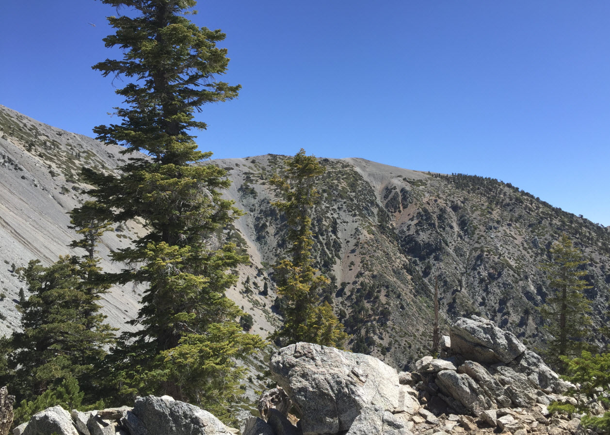
Here I am at about 8600 feet, looking across the valley to the ridge where I will climb down later. The peak is to the left of this picture, not visible. If you look carefully, you can see a slight path going horizontally across just below the very top in the center of the picture. I’ll point that path out again in a later picture from a different angle.

After 4.5 hours of steep uphill hiking, here I am at the peak at 10070 feet altitude. In the background, right by my hiking poles, you can see Mt. San Jacinto. To the very left is Mt. San Gorgonio, the highest peak in Southern California. Mt. Baldy’s peak is a huge expansive and broad, flat area, some of which you can see here behind me. There must have been 100 people at the top when I was there. It was a very popular Sunday hike. The wind was blowing cold and strong. My fingers were freezing.
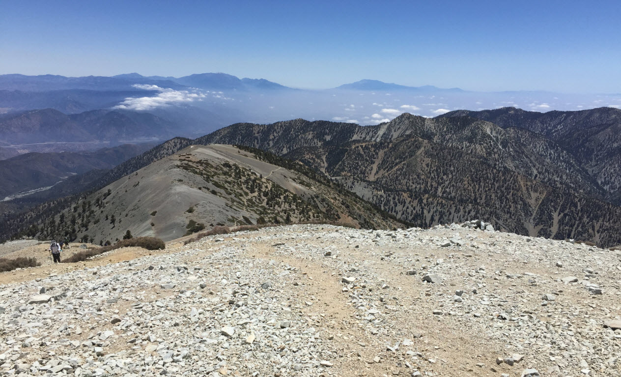
This is looking down just before leaving the peak onto the ridge I pointed out earlier. The path we saw from there is the same we see here as a thin thread in the middle of the photo. The descent from here is also quite steep.
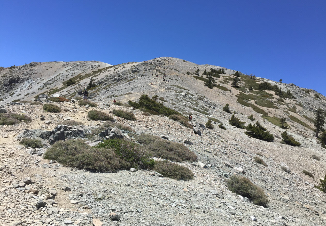
Here I am down on that ridge, looking back up from where I just came. The very back is the peak, and if you look carefully in the center of the picture, you can see hikers, like ants, going up and down along the path.

Turning south from the same spot, another look into the Los Angeles valley. It’s still in clouds down there. Here the wind is whipping. The trees here are pretty tough.
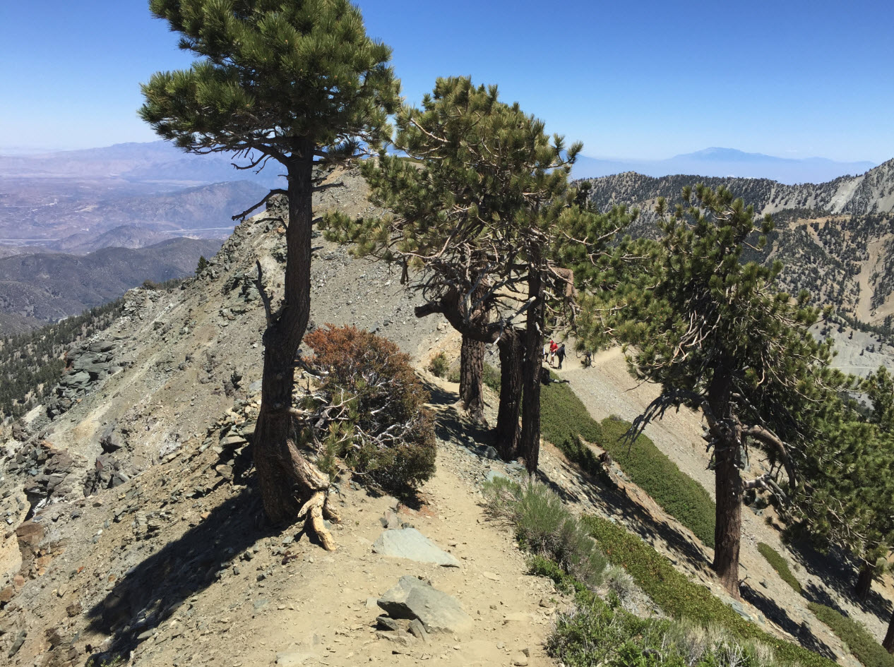
The most remarkable feature of this hike is the “Devil’s Backbone,” a ridge with steep drops to the north and south, and the path is right on top of it. Here we see the beginning of the backbone with a few hikers on the way up.
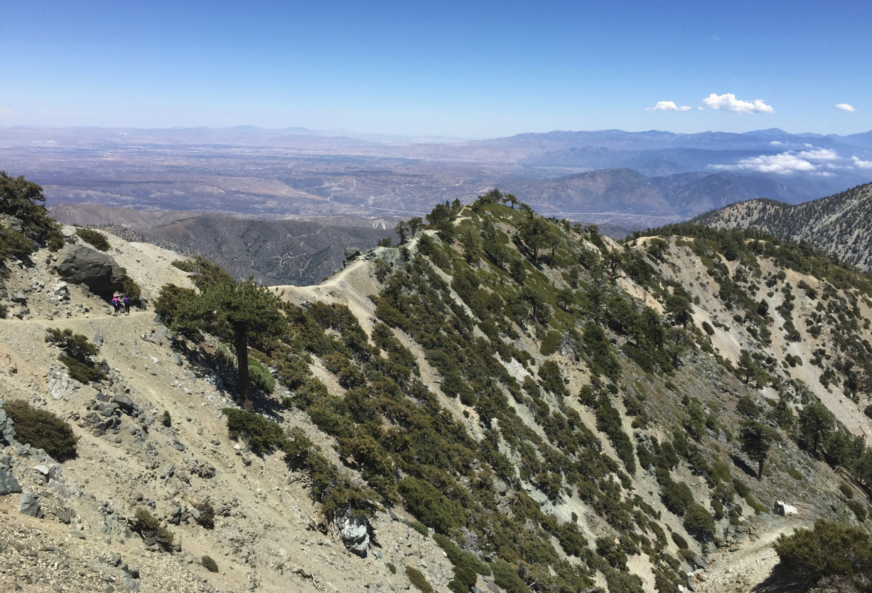
Here is another view of the backbone. In the distance in the back is the Mojave Desert to the north. Note that it’s not cloudy there like in Los Angeles to the south behind me. In the upper center of the picture you can see the thin lines of I-15, the major freeway leading from San Bernardino up through Barstow to Las Vegas. Las Vegas is about 4 hours north of here.

Here we are right on a section of the backbone. This is not a place to get dizzy or trip. There are sections here where the mountain drops 1000 feet in both directions, straight down.

At the end of the backbone is the Mt. Blady ski area. I am at about 8500 feet altitude here just about at the top of one of the chair lifts. The sign tells skiers not to go down that way. Funny, it’s basically a cliff.

Of course, where there is a ski lift, there is a lodge, not something I usually find at the top of a mountain. It’s a welcome spot for a break. Forget the granola. Here is beer.

I could have hiked down the last 3 miles on a boring dirt road to the parking lot. I thought about it. On my previous hike on Mt. Baldy I hiked up that way. But my knees screamed for a break. That chairlift and the sign “This Way to Ride Down” were too inviting. I cheated. A $12 ticket did the trick.

Ahhhhh.