Maui in Time

Every time I visit Maui I am newly astonished how this is the one place on Earth where we can observe and feel the passage of time, and where geological timescales are laid open for us.

The islands of Hawai’i are formed as the Pacific Plate moves northwest over the Hawaiian hotspot, a mantle plume that creates volcanic activity. The youngest island, Hawai’i, or the “big island” as it’s called, is only 400,000 years old and its volcano is still active today. That island is growing every day as lava pours into the ocean.

The next older island is Maui, with an age of about 1.3 million years. Going west from there, Lana’i with 1.3 million years, Moloka’i with 1.8 million years, O’ahu with 3.0 to 4.0 million years and finally Kaua’i with 5.1 million years.

Maui is really an island of two volcanos, on the west side we call it West Maui, and the large volcano, Haleakala, forming the main island. There is a low point between the two mountains, sometimes called “the valley.” On the north side is Kahului, the largest city on Maui, and on the south side is Maalaea. There is a road that leads from Maalaea to Kihei that goes write along the ocean, and it’s obvious that at high tide, if there were a storm, the water would come over the road.

I took a couple of photographs from close to the top of Haleakala where the green arrow starts, looking down. Those are below. Then I added another photograph from the ocean, approximately where the blue arrow starts.

You can click on the images to enlarge them and zoom in.

When looking at these pictures, it is obvious that some time in the future, perhaps in 10,000 or 20,000 years, perhaps even much sooner, depending on climate change, the ocean will break through and separate West Maui from the main island, and from then on our descendants will experience it as two separate islands.

If humanity had arisen to intelligence only 100,000 years later than it did, it would never have known Maui as one island. There would be another, separate island there with a separate name. and there would be water between the two, just like there is now water between Maui and Lana’i and Maui and Moloka’i.

Below is the view from along the blue arrow of the map.

Here we can see the rise of both mountains to the left and right, with the land connecting it really low by the ocean.

It makes me want to come back and time travel to this island 20,000 years from now and see what it looks like.

When I hiked through the Haleakala crater a last week I thought about this. Here I was at 10,000 feet elevation, and I was kicking rocks, thinking that no human being may ever touch those individual rocks again. Furthermore, 10 million years from now, this entire giant mountain will be washed into the sea. Not a single rock will be above water.

Geological times become visible and tangible in Maui. I never tire of marveling about that.

Saturday Morning Bike Ride

This morning I did the familiar 10 mile mountain ride in Daley Ranch. Here is a shot from all of Escondido from about 1,600 feet elevation. The city is at about 700 feet. This is where I came up from.

There are some very tranquil spots to sit and reflect. This is one of my favorite, way in  the back of the park, overlooking a large pond. Ducks and other wild life abound. I feel very fortunate that I can literally hike or bike from my front door to this spot in the wilderness in just an hour.

Here is a section of the trail. It’s not this smooth everywhere. There are some very steep rocky portions, where I didn’t take any photo. I was too busy pedaling and staying balanced.

And that was my Saturday morning in Southern California.

The Marks on Our Potatoes

In the winter, some of our red potatoes in the pantry got old and started sprouting, so we planted them in one of our planters. Last month, we had a harvest. It felt great digging with our bare hands into the soft soil and finding the potatoes, one at a time.

Here is a picture of the planter, after we had reseeded it with carrots this time.

The harvest was amazing. We got at least 30 potatoes, a few of them small, but some of them full sized. Here are some of the larger ones:

Then I noticed that each potato had a mark on it. I can’t figure out how this happened. They were not smashed against the planter, and its walls are smooth. There are no features that would cause these repeatable marks. If you don’t see it, look at  this one closeup:

The marks are not the result of some tool that we used to get them out of the ground. We used our bare hands for every one of them.

I looked at red potatoes at the store and found no marks on any of them.

Does anyone have any idea what might be causing these marks?

Monarch, Milkweed and Sunflowers

It’s spring, and things are happening in our yard.

A few years ago, I planted a few milkweed bushes. Those are the ones – the only ones – that the caterpillars of Monarch butterflies eat. The bushes would get thick and healthy, and in early summer, when the caterpillars are done with their work, they are down to sticks. Miraculously, the come back for another season, although I have discovered that after two or three seasons, they seem to be spent and die. So last year I planted another dozen or so around the yard.

Today, for the first time ever, I saw an actual Monarch visit one of the plants.

It let me come close while it was busy. Then it jumped away, bumbled around the place, checked a few other plants and gave them a sniff, and eventually came back to another milkweed.

Speaking of planting:

I am growing a crop of sunflowers from seeds. They should all be ready to be put in the earth in about a week. Here they are on our potting bench:


Banana for scale.

I will post a picture of some sunflowers in bloom in a few months, and I’ll show this to remind us where they came from.

Polydactyly

Polydactyly, meaning “many fingers or toes,” is a congenital condition where individuals are born with one or more extra digits on their hands or feet. It can occur on its own or be associated with other genetic syndromes. I had never met anyone like this until now.

When we were in Vietnam, we took a little bamboo boat ride. These are traditional round boats that you can use to paddle up and down a river. One of the rowers was doing some stunts in the middle of the river, and when my wife climbed out of his boat she looked down and noticed “a lot of toes.” She made a comment, and we subsequently discovered that the man had six toes on each foot and six fingers on each hand.

We hadn’t really noticed it, until my wife pointed it out. It’s not like he made an effort to show that off, but when we realized it he was more than happy to pose. I am sure he knew an extra tip was involved.

When I googled the condition, I learned that there are many different  types. The one our friend above exhibits is quite rare, where all digits are fully developed and functional. Worldwide, polydactyly occurs in about 1 in 500 to 1000 births. That’s a lot more than I would have thought. It’s obviously not something we look for when we meet somebody, and it’s not something people would necessarily point out about themselves.

We enjoyed meeting our friend above and got his permission to take a picture.

Book Review: The Elephant Whisperer – by Lawrence Anthony

With a group of friends we are in the process of planning a wilderness tour to Africa. One of the ladies mentioned that she had read The Elephant Whisperer and that had made her really interested. So I picked up the book.

Promptly, it put the bug in me too.

The author, Lawrence Anthony, is an animal conservationist. He bought a game reserve in Zululand in South Africa, named Thula Thula. There are no wild elephants left in that part of Africa. When he received a call about a small herd of elephants that had turned rogue and needed a home, he could not refuse. If he hadn’t accepted, the elephants would have been put down.

He took them in, not knowing how difficult it would be to host a herd of wild elephants and all the challenges that come with it. In the years that followed, he created a unique personal bond with the herd, and particularly with Nana, the matriarch.

Reading the book, I realized I had no idea what wild elephants were like, how dangerous they were, and how challenging it was to coexist with them. It definitely helped me prepare myself mentally for a trip into the bush, and I will have a completely different appreciation of the giant animals than I would have had before. I am now looking forward to the trip, which won’t be until about May 2026.

The Elephant Whisperer is a must-read book for anyone interested in animal preservation and protection, game reserves, animal intelligence, nature, and Africa.

Riding my Bike to Stanley Peak

This afternoon it was nice and sunny, and I decided to take bike ride up to Stanley Peak, one of the prominent mountains in Daley Ranch in Escondido. It was a 11.67 mile ride round trip. I go hiking and biking there quite often, but today I thought I’d take a few pictures to share.

Here is a map of my trip. I went up the mountain and then did a counter-clock-wise loop. Blue is slow (up the hill) and red is fast (coasting downhill).

I can literally do this ride from my front door.

There were some recent mountain lion sightings, so there are warning signs around the park to make people aware. In all the years of my hiking, I have never seen a mountain lion, even though I know they are there. However, yesterday I was really lucky (on another ride in Daley Ranch). I saw two Lynxes. One was an adult, about  the size of a coyote, with the characteristic pointy ears and the short tail. Its fur was grey-brown. Since I was on my bike, I was not able to stop and get my phone out to take a picture in time, before I disappeared. Then, a bit later I saw a juvenile lynx. It was about the size of a very large cat with the same color fur as the adult. Again, no pictures.

The trail up on the mountain gets quite rough.

Toward the top, the trail was steep enough I had to push my bike.

Finally, at the top, at 1,970 feet altitude.

The views are  great. This is looking south to Escondido from the top of Stanley Peak. The arrow points to a little nubby which is the mountain right behind our house. Our house can’t be seen from the peak, it’s behind that mountain. On the left you can see the road up to Valley Center, which you can also see on the map above on the right side.

Here is a view looking straight north from the same spot. The large ridge in the distance is Palomar Mountain, home of the famous observatory.

On the way back down I just had to take this picture of one of my favorite spots on this trail, an idyllic mountain pond.  There is all kinds of wildlife here, and I am sure it’s a great watering spot for the big cats, the mountain lion and the lynx.

I feel very fortunate that I can literally hike or bike to this wilderness area from my front door. It’s a very different world up there.

The Beauty of San Jacinto

Last week we participated in the “Tour de Palm Springs” bike ride in – you guessed it – Palm Springs. To get there, we took the Rover to a camp ground in Desert Hot Springs, about 30 minutes northeast of Palm Springs. This was the view from our camp site in the morning:

The mountain in the background is San Jacinto. For my non-California readers, Jacinto is pronounced with an H, like Hacinto. It is 10,834 feet tall (3,302 m) and that makes it the second highest mountain range in Southern California. To give perspective, the highest mountain in the Germany is Zugspitze with an altitude of only 9,718 feet (2,962 m).

I have climbed San Jacinto many times, going to the top, and doing section hikes. Here are some of those posts:

https://norberthaupt.com/2012/07/22/hiking-san-jacinto-july-19-2012/

https://norberthaupt.com/2008/06/23/hiking-san-jacinto/

https://norberthaupt.com/2023/06/20/hiking-fuller-ridge-trail/

Once I have climbed a mountain, I always see the paths up and I continue to be fascinated by them. Here is a view of the mountain from Palm Springs during the bike ride. I had to pull over to the sidewalk to take this beautiful image:

At the end, we enjoyed the ride and the trip to the desert, along with a lot of intimate views of the beauty of San Jacinto.

Coyote on Daley Ranch

I have been doing a lot of bike rides on Daley Ranch lately. I am really fortunate to have this beautiful wilderness literally in front of my door.

Today I saw a beautiful coyote, and I was able to catch a couple of great photos to share here:

And here is one more:

Camping with Devin – 27 Years Later

Devin was a Boy Scout when he was little. The picture below was taken of the two of us the morning after camping with his troupe at a Boy Scouts camp in Balboa Park in San Diego. I don’t have any exact record of the date, but I am guessing it was 1995 or 1996. Devin was seven or eight years old then.

Today we went back to re-enact the photo. I still have the same jacket, and the same chairs we used then. We got permission by the San Diego – Imperial Council of the Boy Scouts, found camp site #1, and sure enough, the fire pit was still there. We tried to match the same pose, even though this one was in late afternoon light, the old one was early in the morning.

Devin is now an experienced outdoorsman and athlete, and works for the California Conservation Corp. And I try to keep up, climbing and hiking as much as I can. It all started with the Boy Scouts.

It meant a lot to me to go back to the same spot, with Devin now three times the size he was then, and sit in the same chairs.

Too bad we didn’t bring any coffee.

Visiting Devin in Yosemite

Last weekend I went to the California Conservation Corps (CCC) backcountry program camp where Devin has been the supervisor since late April. In the first few months, the corps goes out and does “front country” work, where they are within access to a vehicle for supplies and connection. But in the latter months they hike out into the backcountry, where they sleep in their individual tents, work a full-time job doing trail maintenance, then hike back to camp for the night. Once a week, on Tuesday, a supply mule train comes up with provisions for the week and other needs, and takes back the trash. On weekends, the crew goes  — backpacking.

I visited the camp at Sunrise Lakes in Yosemite.

On the way there I stopped at Olmsted point (see map below) and got a good view of the famous Half Dome. You can see how smoky the air is. It is actually due to a management fire in Yosemite (induced by the forest service) and they have signs up telling people not to “call in” the fire. Unfortunately, Half Dome was in a smoky haze.

Here is an overview map [as always, click to enlarge pictures]. Olmsted point from where I took the photograph above is indicated (blue arrow).  You can see the location of Half Dome (green arrow), the peak of Clouds Rest (orange arrow) and the location of the CCC camp where I went (red arrow).  In the lower left of the picture is Yosemite Valley, which is what most people think of as Yosemite. In reality, it’s a huge area of wilderness.

My hike started at the Sunrise Lakes Trailhead off Highway 120 right by Tenaya Lake. The colors indicate my speed. Red is fastest, blue is slowest. You can see where the switchbacks were and of course where I rested by the blue.

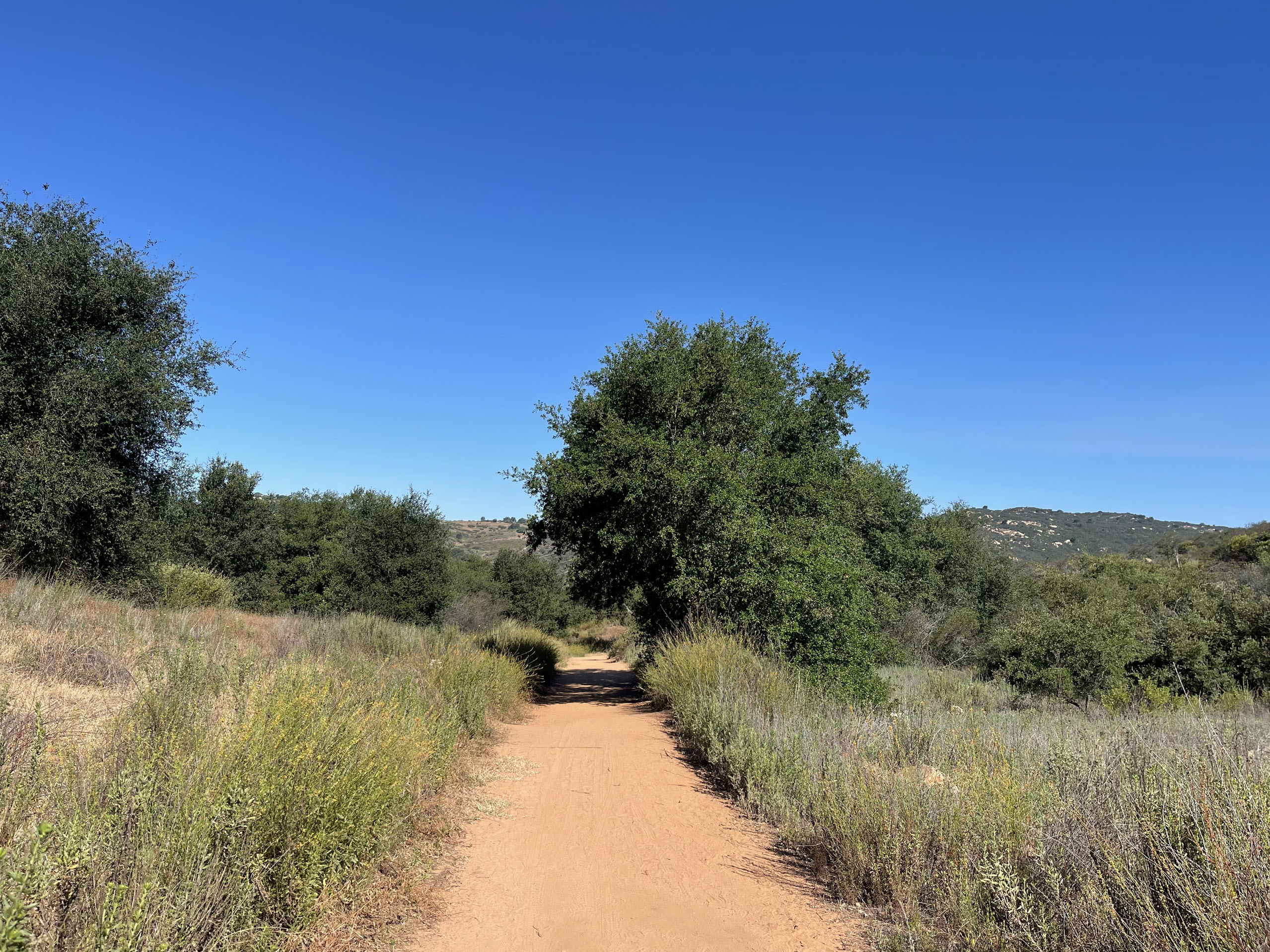
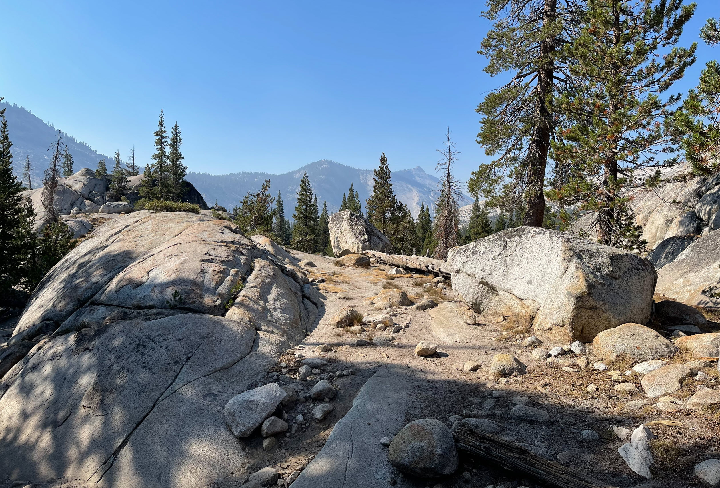
Here is a typical section of the trail. Huge boulders as one expects in Yosemite are everywhere.

Another section of trail.

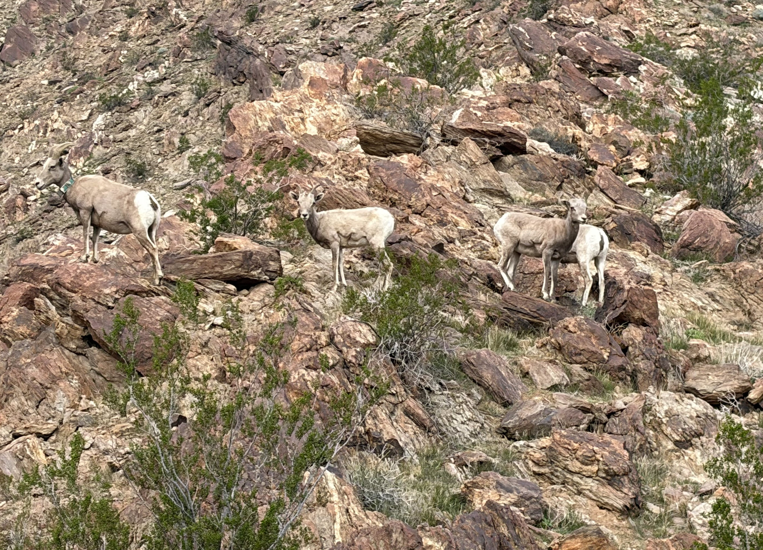
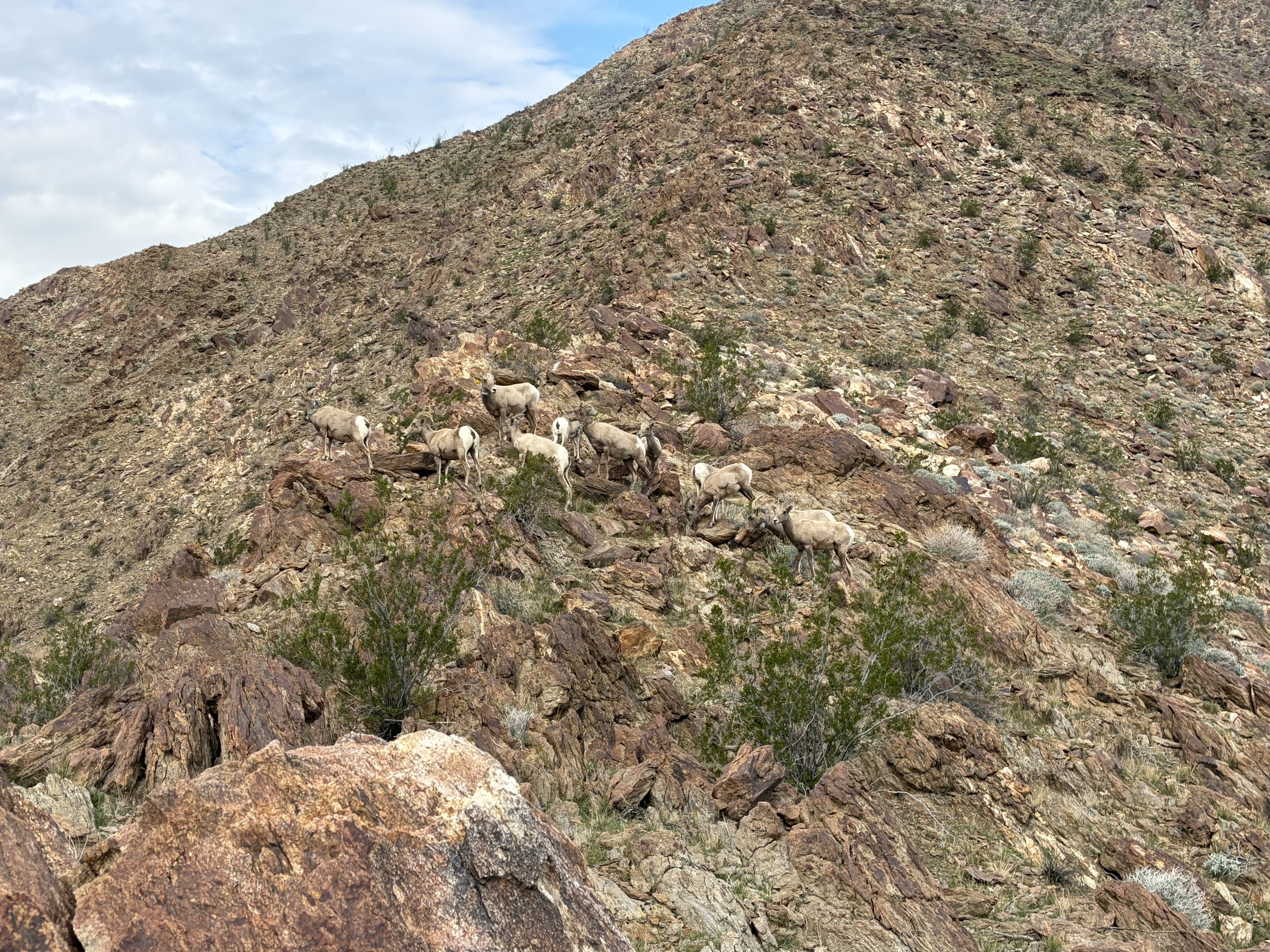
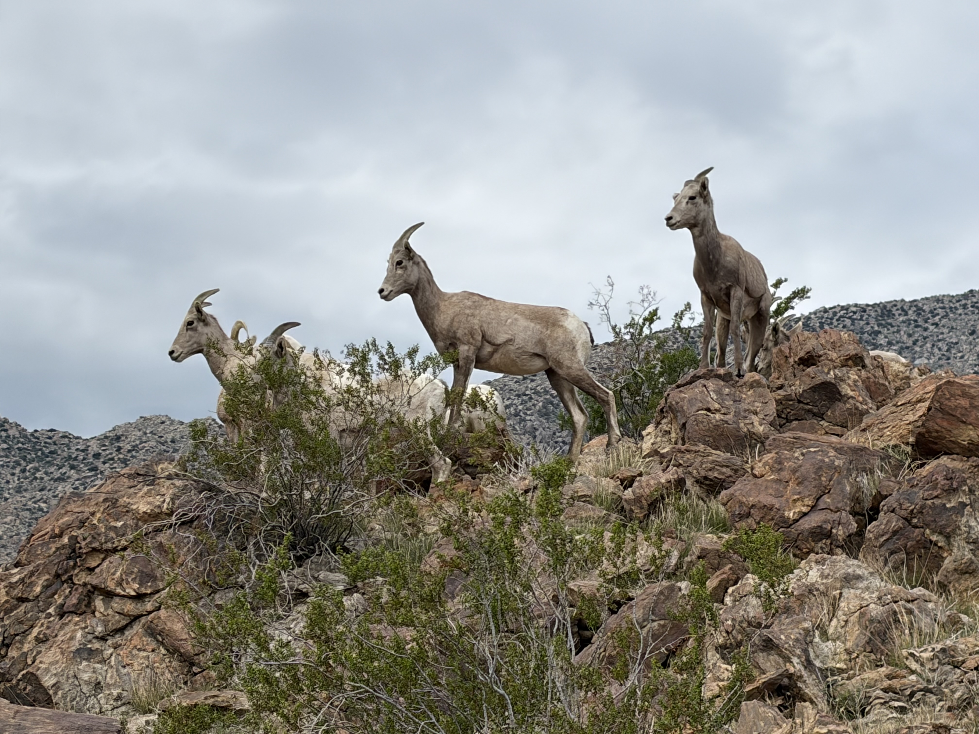
Here I arrived at the “First Lake” and you can see the spot on the map above. The lakes are pristine, and as you can see, there is nobody there.

It took me about three hours to get to the CCC camp. Here is Devin at the hand washing station.

The crew does trail maintenance work, which would be felling trees, building rock steps, filling in washed out gaps, building retaining walls. All in all backbreakingly hard labor. That’s why it says on the back of Devin’s CCC business card: “Hard Work, Low Pay, Miserable Conditions and More.” Here you can see their “tool shed” with sledge hammers, chain saws, and various gear. A tarp above keeps out the rain.

Here are more tools, clippers, rakes, shovels, all nicely organized.

Here is a picture of the “living room” which consists of a fire pit in the middle, log benches all around, and a large tarp over the top to keep out the rain, but mostly the sun. To the left is the kitchen. All the food needs to be stored in bear boxes, which are those big brown cases.

The crew members pitch their tents in the surrounding area, usually away from others for privacy and quiet. So they are actually quite spread out. Here is Devin’s tent, where he has lived and spent pretty much every night in the last two months, except for when he went off backpacking on some weekends. This is his home. Right now, the temperature goes down to the low forties over night, so it’s quite nippy already, and it will get much colder over the next few weeks. The sun goes down at about 7:30pm and it’s dark very quickly, and stays dark until about 6:00am. That makes for a long night in the tent.

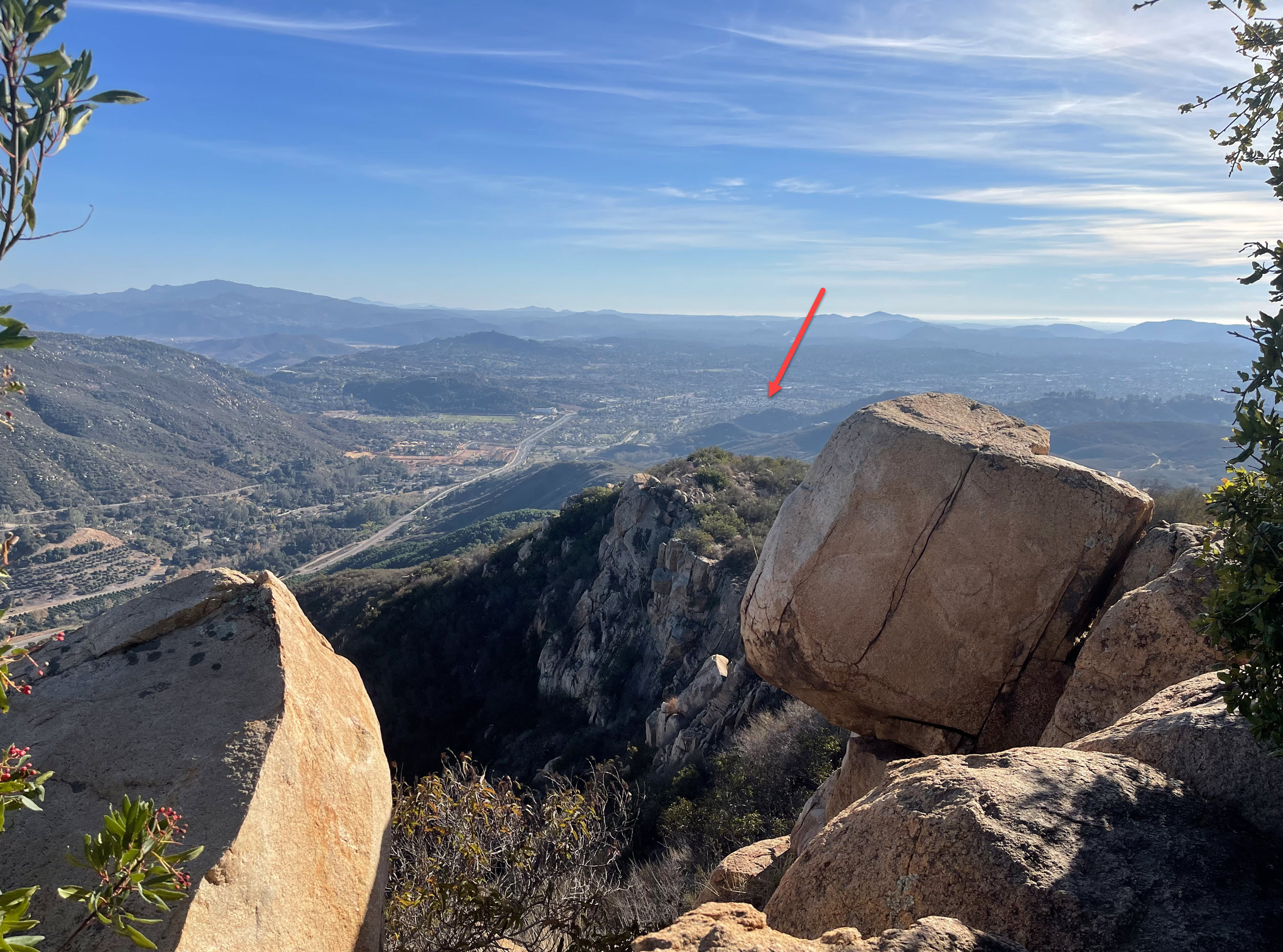
There is a spot on a giant granite incline not far from the camp where they get phone reception. The picture below shows me on that spot. You can see the peak of Clouds Rest (red arrow), a sliver of Half Dome (green arrow) and the approximate spot of the cell phone tower (blue arrow) over Yosemite Valley, about 13 miles away, which brings in the signal. I got 3 bars on my iPhone from that spot, but when I hiked back the couple of hundred yards to the camp – nothing.

Below is a close-up of Clouds Rest and Half Dome from that same spot.

And while I was there, I checked my messages and my email. Here is yours truly, the Software CEO doing a bit of work while out hiking, answering a few urgent emails, making a few appointments, before walking back “off the grid” to get some dinner at the camp.

The next day we hiked down to the trailhead. Here is a picture of Devin in front of Tenaya Lake. The peak behind him is Tenaya Peak. That’s a 10,301 foot peak with no trail going to it. The next day, Devin was going to do a solo hike off-trail to that peak from the CCC camp, which is located to the right behind the peak. I wasn’t comfortable enough for cross country hiking at that altitude for that distance (at my age) so I didn’t volunteer to participate. Devin, as a crew supervisor, carries an emergency satellite phone with GPS, so he feels safe enough to go alone.

As I am writing this a couple of days after, I know Devin made it and has already sent me a picture from the top, looking down on the lake, But that’s for another post.

Another picture of Tenaya Lake, facing due east.

While we there, as we’re crossing the highway, I found an iPhone in the middle of the road, obviously run over by cars already. But as I picked it up it still worked and showed a photograph of the owner and his wife on the cover. So we hiked around a bit trying to find them and give them back their phone, but no luck. I decided to take it with me, and wait for the first incoming call. Sure enough, about 3 hours later, as I had already left Yosemite, that call came in and I was able to connect with the owner and arrange to return the phone to him, albeit run over and scratched.

All in all it was a wonderful weekend. I saw Devin for the first time in 6 months, and were were able to catch up on life. I got in some good hiking and fresh air. I tested a new backpack and sleeping bag, and I am already looking forward to going back. To me, Yosemite is one of the best places on earth.

Pumpkin Flowers

I have never seen pumpkin flowers before in my life. Now we grew some in our yard. They are amazingly beautiful.

Here is what the plants look like from a distance:

Here is what that plant looked like just 50 days ago, grown from one seed, banana for scale.

We planted the seedlings on June 30th, when they looked like this:

Now let’s see what happens as the pumpkins grow…..

The Joy of Growing Vegetables

We put a zucchini plant into our little garden, and it’s producing like crazy. Here is the first one we broke off.

Zucchini – banana for scale

It’s huge. We don’t know if it’s ripe yet, but we’ll cut it open and find out. There are several more growing in the plant.

Then we wanted to know whether you could grow a pumpkin from a seed. So I put a single seed into a planter pot and within six days of watering it several times a day, it produced a little plant.

Pumpkin plant – banana for scale

It’s a tiny shoot with two leaves. When gets a bit bigger in another week or so, I’ll put it into the ground.

The pot on the left has onion seeds (green onions), and the one on the right is another pumpkin.


When It Blooms, It’s Spectacular

This cactus has been with us for decades. It loves to live in its small pot. Most the time it’s scraggly, green, and sometimes the leaves die off.

It does not bloom very often, but when it does, it’s spectacular. The blossoms in their glory only last about a day or so. Make sure to click on the image and enlarge, so you can see it in all its splendor.

Devin Will Be Off Again

I just re-read a ten-year-old post about Devin is Off.

He went into the wilderness with the California Conservation Corps famed elite Backcountry Trails Program. About midway through his stay, I hiked in and documented that trip here.

You can see how the dreadlocks had grown over the months in the bush in one of those photographs.

Devin now works full-time for the California Conservation Corps as a manager. This is the back of his business card:

Hard Work. Low Pay. Miserable Conditions and More. That’s the CCC for you.

Now, 10 years later, Devin has been chosen as one of the six Backcountry Trails Program supervisors. He will go out and do the same thing again, but this time as the leader of a team of 18 corps members. He got a coveted slot in Yosemite.

Of course, that means I get to hike into Yosemite to visit him and the team sometime this summer. He says that I’ll only be allowed to visit if I teach a weekend course as a visiting lecturer in some related subject. I am very much looking forward to that adventure.

If you want to learn more about the CCC Backcountry program, visit their website here.