Mt. Baldy, sometimes called Mt. San Antonio, is the peak of the huge mountain range just south of Pasadena. It’s 10,064 feet high. The trail head is at 6,100 feet, so it’s a 3,900 foot and very steep climb. I got the idea from Kyle blogging at Hiking Angeles Forest. He was there the weekend before me and pointed out a ridge with a number of flat spots very suitable for spending the night. You might read his account yourself. It drew me right in. On Saturday, May 4th, I made my attempt.
I had been on the top of Baldy several times before, but each time I had taken the route via Baldy Notch and Devil’s Backbone, which is much less step. Also, each time before I did day hikes, carrying a day pack only.
This was a two-day trip, however, and I wanted to break in my new pack. Fully loaded, at the parking lot, it looked like this:
Can you spell “TOO HEAVY” ???
My plan was to hike to Kyle’s Ridge (here you go, I gave it a name) on the first day. I brought five quart bottles for water, only two of them full. I figured I’d need no more than two to reach the creek at the Sierra Club Hut (see below).
Once at the ridge, I’d build my camp, then hike down again to the hut and the creek, fill up all five water bottles, and hike back to the ridge, this time carrying only water.
Five bottles of water should be enough to remain hydrated through the night, provide for breakfast cereal, then keep me in water for the ascent to the peak the next day, and finally all the way back down via the Devil’s Backbone.
Good plan.
Here is the map of my trip, showing my actual hike.

The green arrow points to the hut, at way point 023, 1.7 miles from the trail head. The blue arrow points to the approximate location of Kyle’s Ridge.
The word steep is no kidding here. This is definitely as steep as “the wall” on Vivian Creek Trial on Mt. San Gorgonio. I labored up weighed down by my pack and I found myself surprised how hard it was for me. I blame some of it on my new pack, but most of it on my lack of practice. It had been almost two years that I had done an overnight trip carrying a full pack. I was glad I was alone, lest I embarrass myself by my slow pace.
At 1.2 miles, the view opened up and I saw my destination:

And a long, long, long 1.7 miles seemingly straight up the mountain it was.
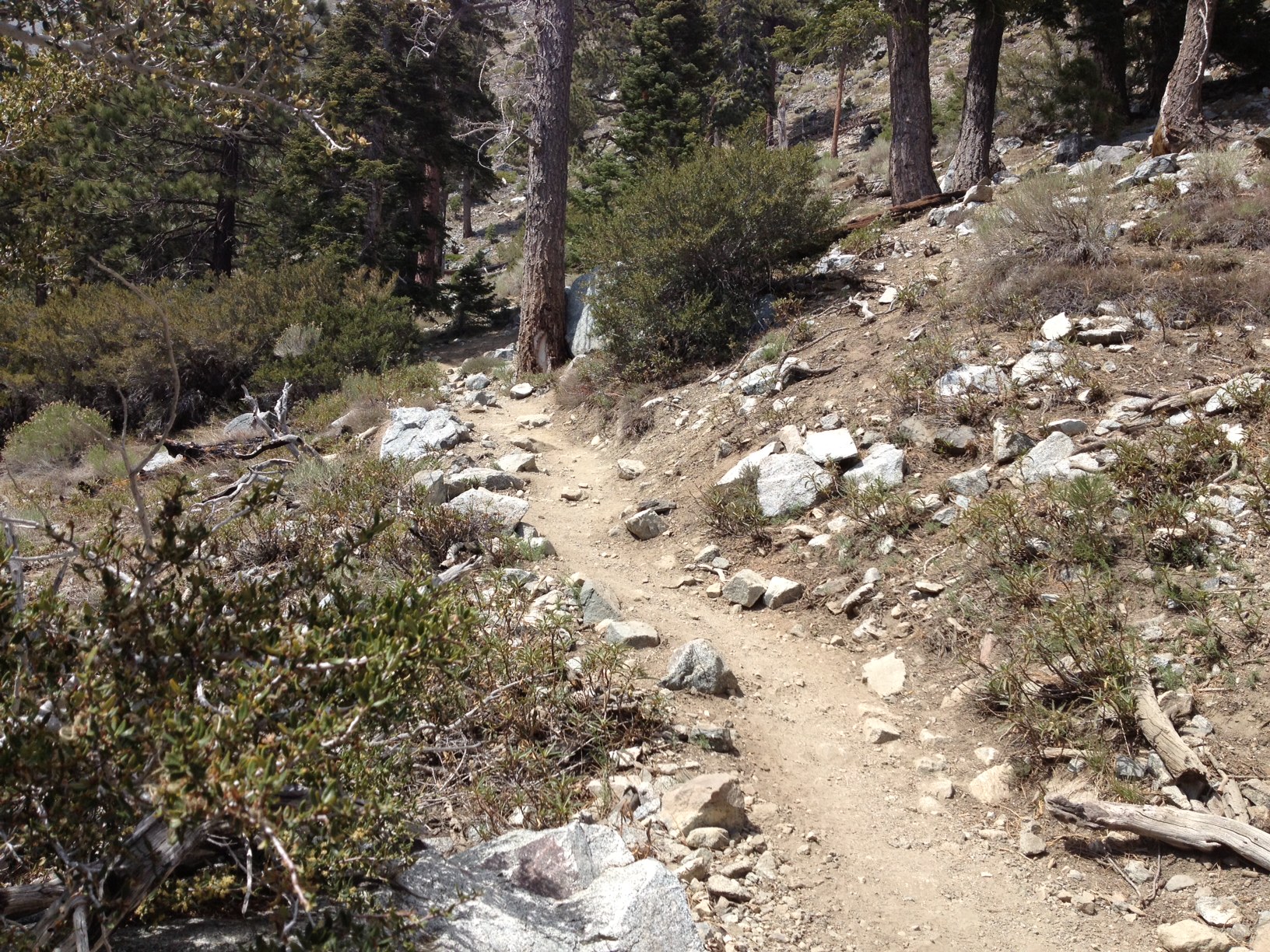
Here is a typical stretch of trail.
Just about three hours and 2.7 miles after leaving the parking lot I arrived at the hut at 8,200 feet altitude. The hut was occupied by a group of at least 20 or more rambunctious boys and a few men, all in identical T-shirts, maybe a church group or scouts. It was a noisy lot, so I had my lunch break outside on a bench.
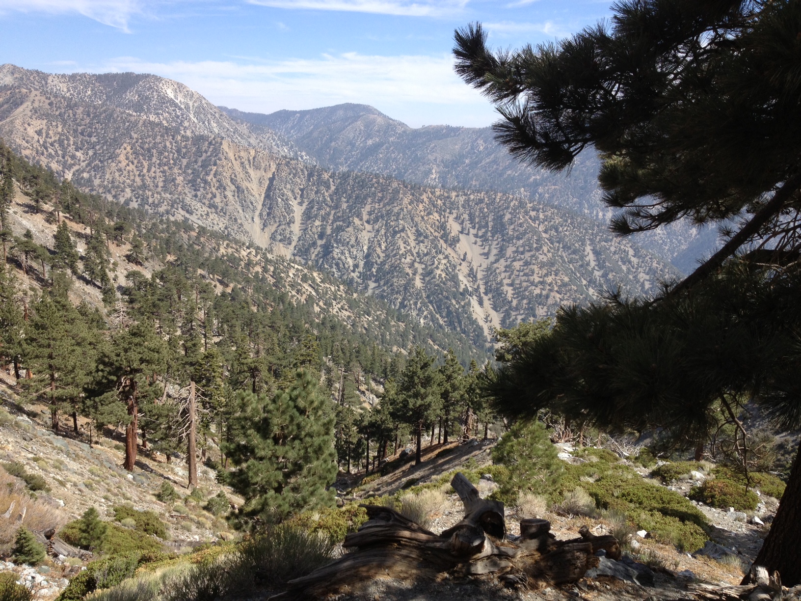
Looking down from my spot, I had a nice view of the valley from where I came.
Looking north-east in the other direction, the top of the ridge in the background is the peak of Mt. Baldy, another 1.4 or so miles of trail and 1,800 vertical feet away. But now I faced the crux of the problem.
This picture shows Kyle’s Ridge from the hut, basically where I needed to go now, and then back here to fetch water, and then back up again. This is the blue section of trail I painted in the map between the green and blue arrows. With three and a half hours of daylight left, and my legs already weak from the climb up, I didn’t think I could do it. The altitude, the exhaustion, the weight of the pack, the time of day, all told me NOT TO DO THIS.
I considered for a minute to fill up all five bottles and make the trip only once, but even that seemed dangerous in my weak condition, adding six or seven pounds of more water to my already heavy load.
Finally, I considered spending the night near the hut. I decided that the trip up to the ridge under a full pack the next day would still be a challenge, and the presence noisy boys topped it off.
I finished my apple and hiked back down the trail the same way I came. I had a wonderful day hike carrying a full pack. When I got back to the parking lot two long hours later, my quads were jello from the constant braking downhill, and I was glad for having made the decision that ensured my safety.
My resolution is to come back to this spot with a day pack early one morning, go up via Devil’s backbone and come down to Kyle’s ridge, then the hut and complete the circle counterclockwise.
Meanwhile – I’d better train up carrying my pack.


The first day back to carrying a full pack is always a tough one! The trek from the ski hut to the ridge is the steepest of the journey (which I prefer going up instead of down–except in snow). I’ve started carrying a full pack on all my hikes because I plan on lots of backpacking this summer. I find if I even take one week off, I feel the difference.
If the steepest part of the journey was the trip to the ridge, I made the right decision. I was not ready for it at that time of day.