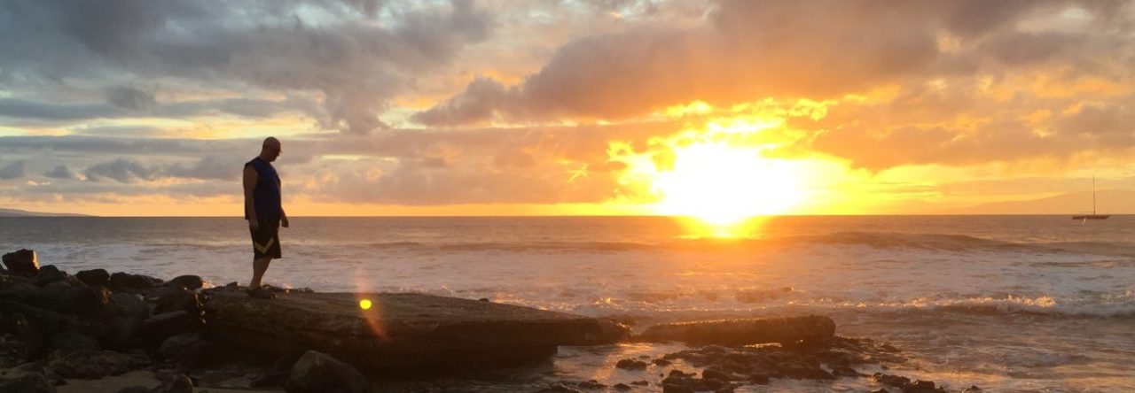
Last Sunday I hiked San Gorgonio Mountain as a day hike. San Gorgonio is by far the highest mountain in Southern California, with an altitude of 11,503 feet (3,506 meters).
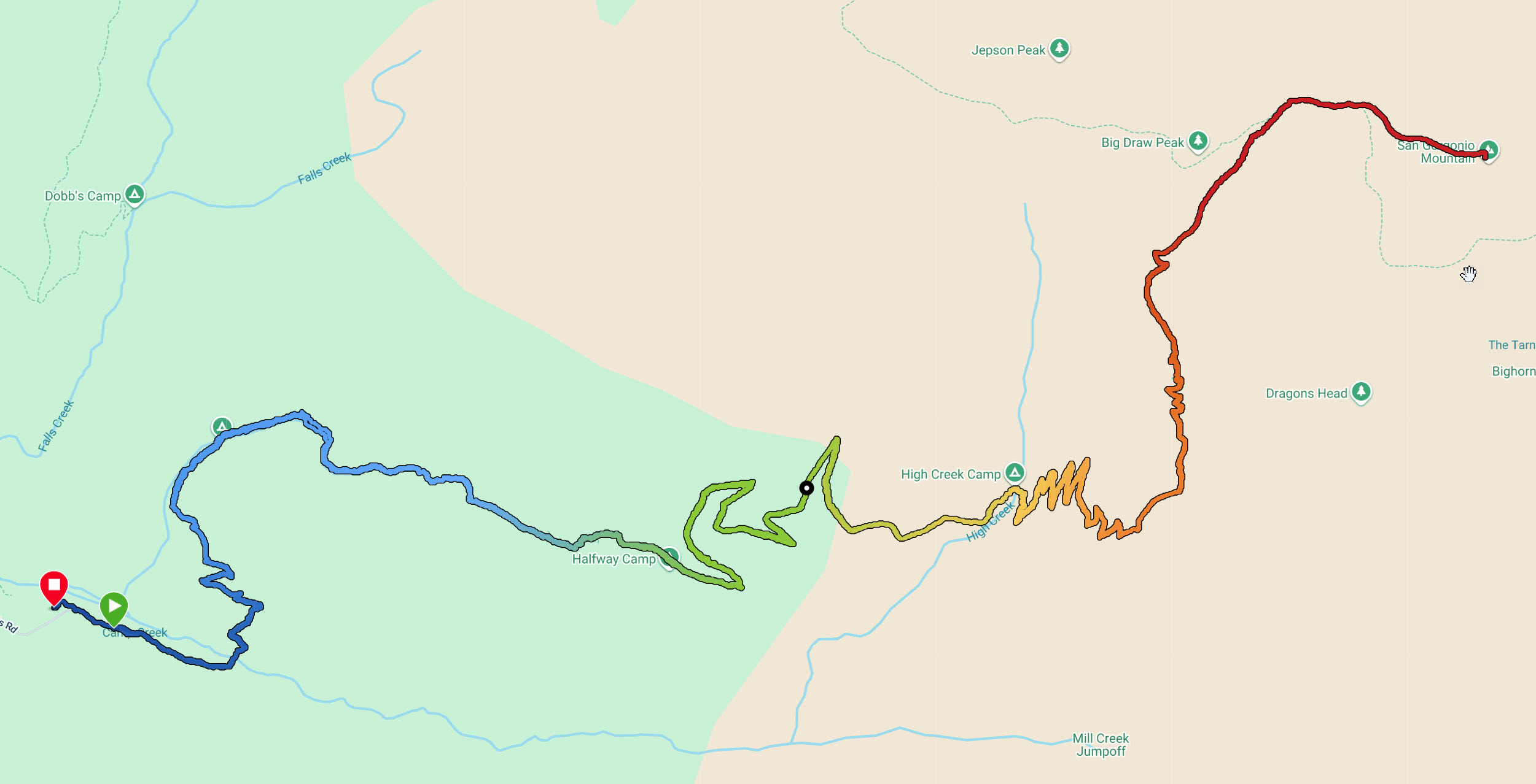
In the map above you see the Vivian Creek Trailhead on the left side and the peak on the right. The trailhead is at 6,085 feet. The color coding is for altitude. The length of the route is 9.2 miles from the trailhead to the peak, and then, of course, back again, which makes for an 18.4 mile hiking day.
I started a little after 6:00am, just before sunrise. It took me 7 hours to get to the top, and (yes, I hike slowly downhill due to my aging knees) 7 hours to get back down. When I arrived the parking lot was pitch black. I always carry a head lamp. It was a life saver on this one in the last hour.
The hike was epic. I had a lot of time to think in those 14 hours on the trail. I realized that the last time I did a day hike to San Gorgonio Peak and was when I was in my 30ies. I am now 69. Ouch, the legs aren’t what they used to be.
I have been there a few other times since, but either didn’t go all the way to the summit, or I camped at High Creek Camp, about 5.5 miles up, and then day hiked to the top from there.
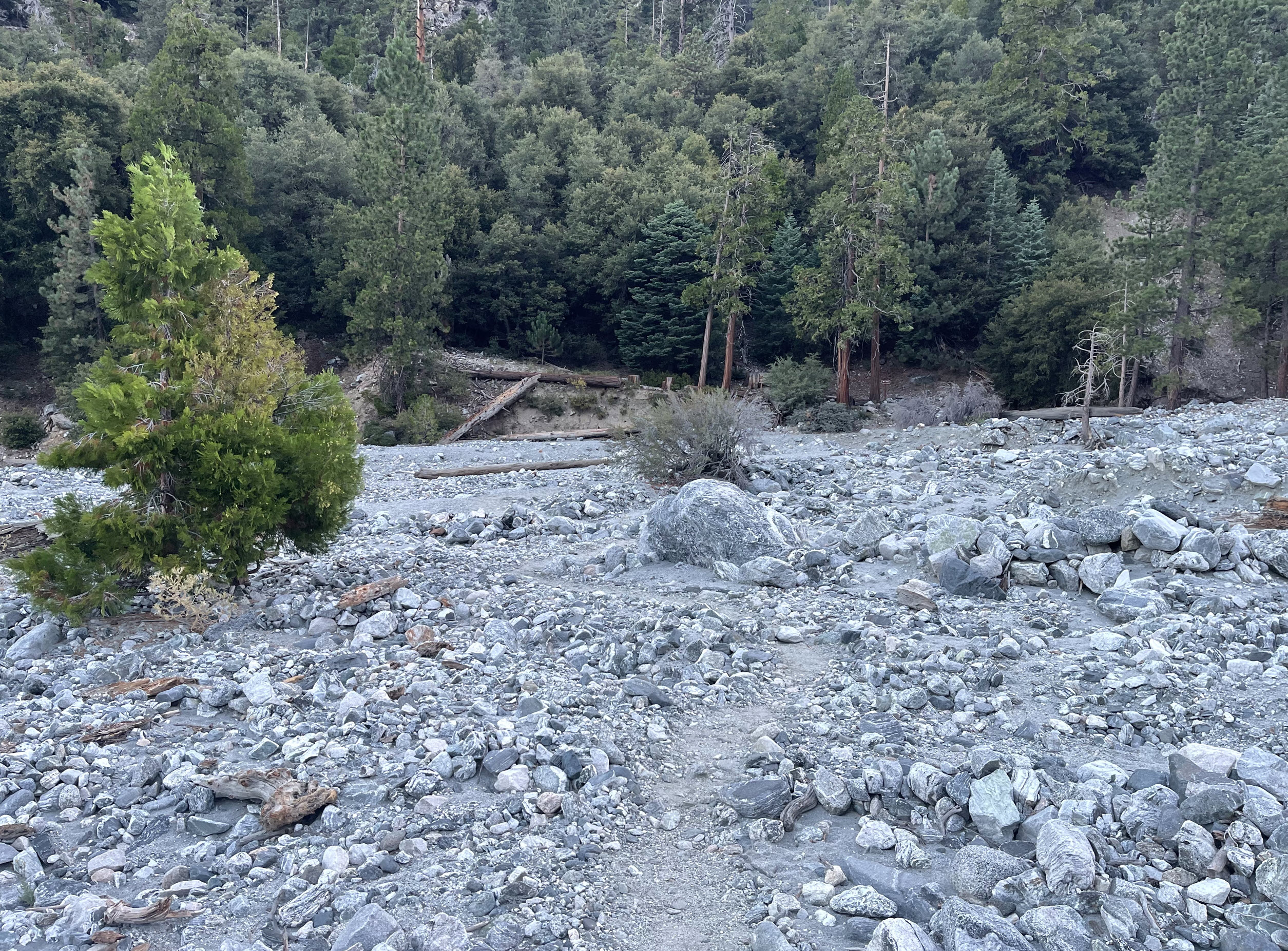
After hiking up from the trailhead for about half a mile, the trail crosses the mighty Mill Creek. There was not a drop of water there, but Mill Creek is famous for doing tremendous flooding damage downstream from here from time to time. It makes national news when that happens. The huge boulders and massive tree trunks in the creek bed are evidence of the power of water.
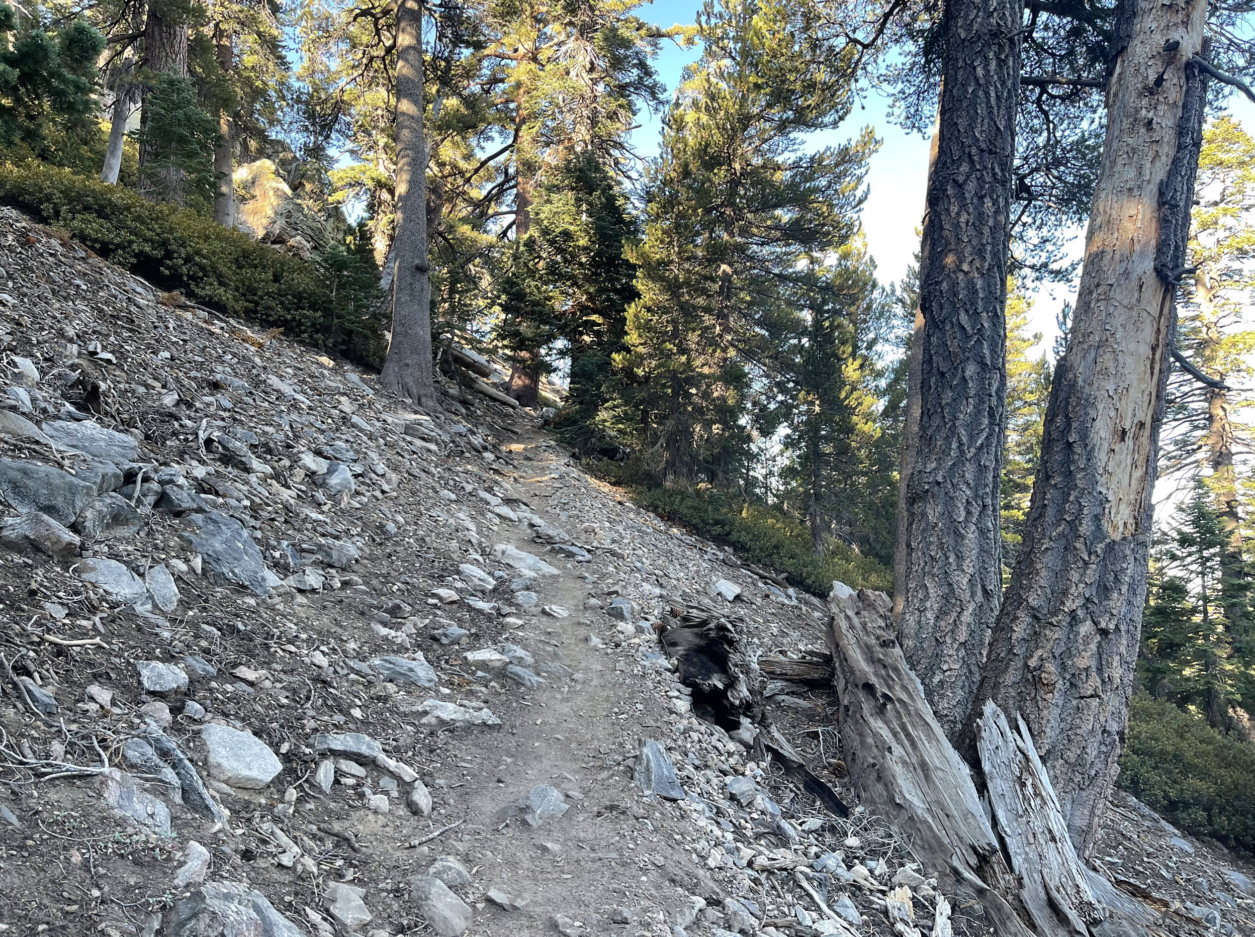
Here is a typical trail picture. Vivian Creek Trail is very steep at times, and rugged.
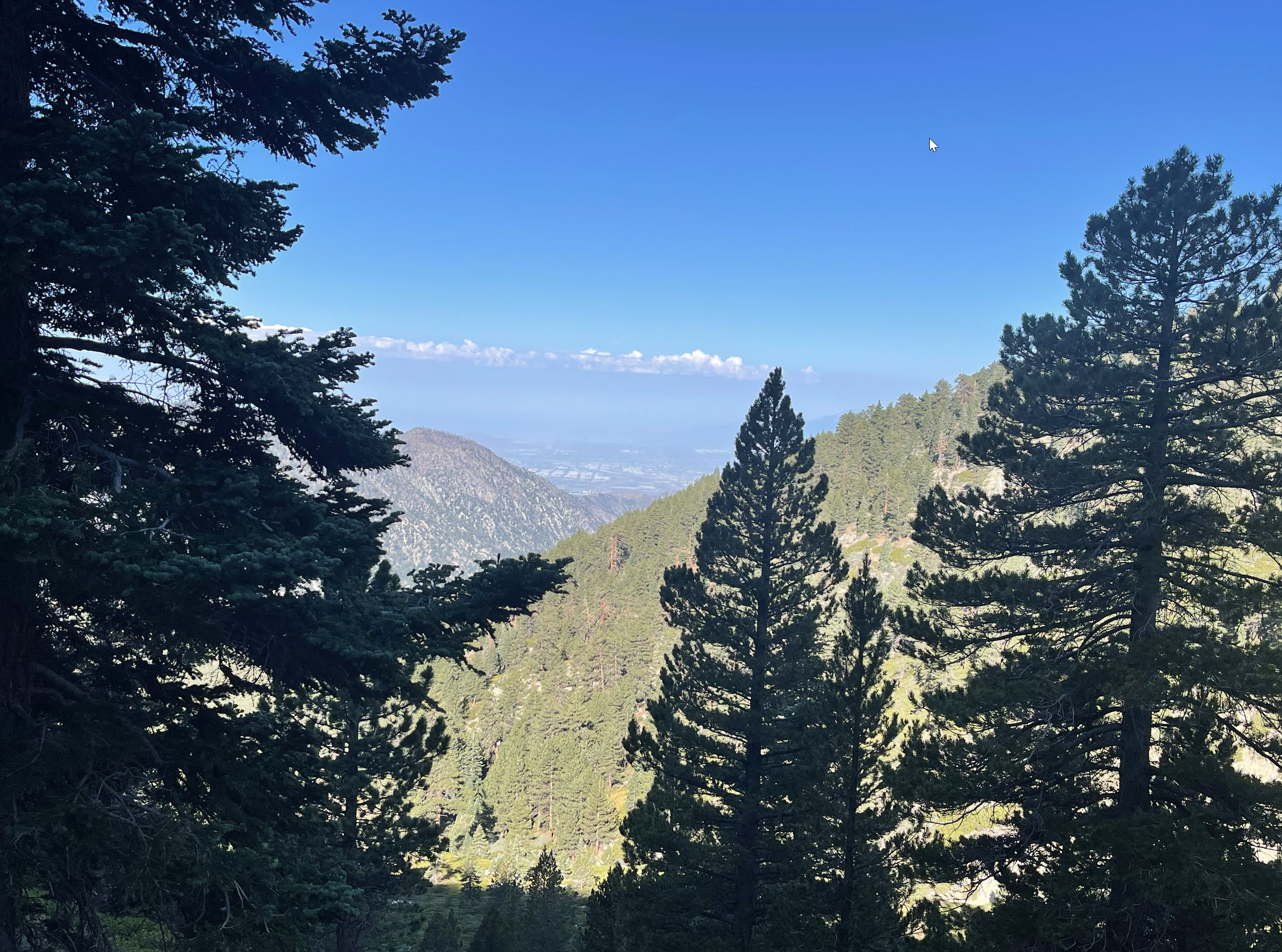
A couple of hours up I got a good view back down into the smog-filled San Bernardino valley in the distance. As always, you can click on the picture and zoom in, and you can see some of the industrial buildings in San Bernardino.

Last water is at High Creek Camp. I filled up my two liter bottles to make it to the peak and back from here, a 7.5 mile trek roundtrip.

The views are amazing. In the distance you can see San Jacinto Peak, where I was just last month. See the post here.

There are also many tracts on this mountain that were ravaged by wildfires over the years. Here is one such spot. The left side of the ridge was spared, the right side was burned all the way down some years ago.
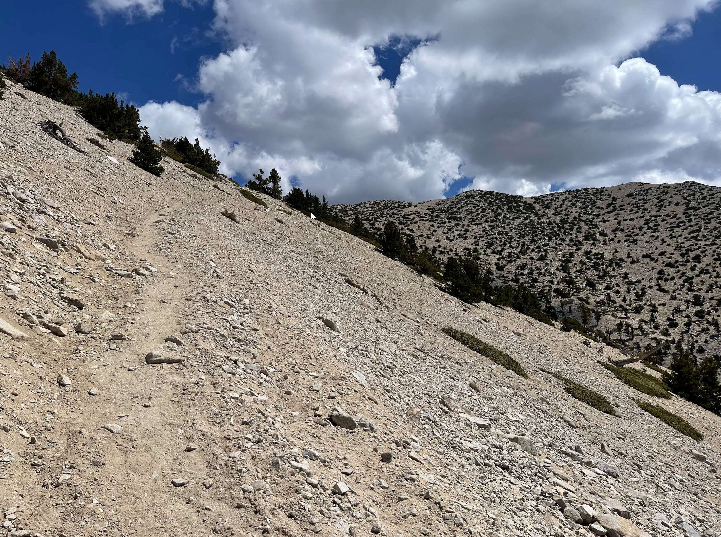
Here is a picture of the traverse to the summit ridge. Here we are at about 10,000 feet or so, and the wind is whipping somewhat fierce. The traverse is steep in some places, reminiscent of the ridge from hell we hiked in Iceland last summer. Some of my Iceland hiking friends will remember that ridge.
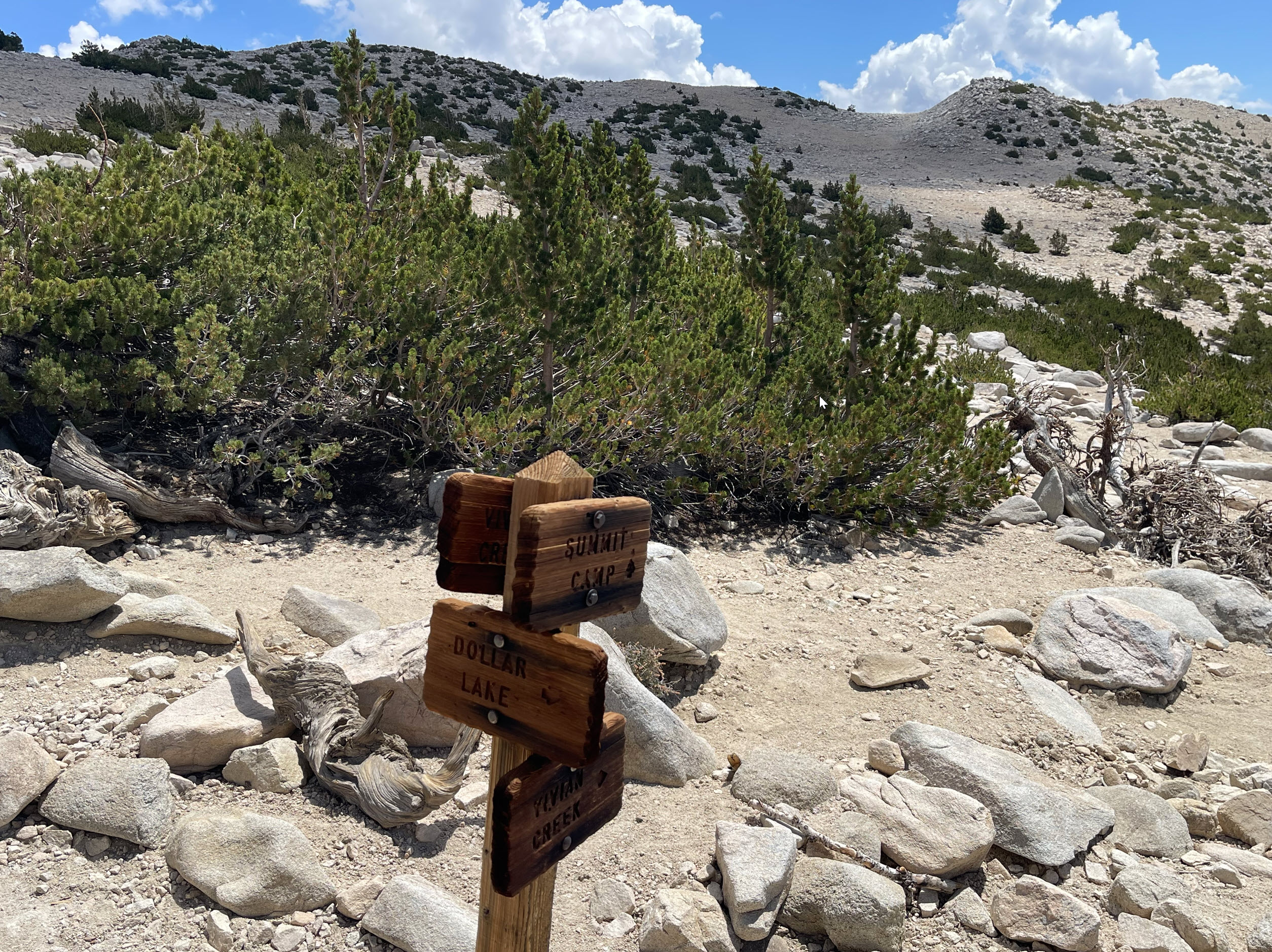
Close to the top, there is a major junction of three main trails coming up from very different directions. It’s important, on the way back, to pick the right one, or be doomed.
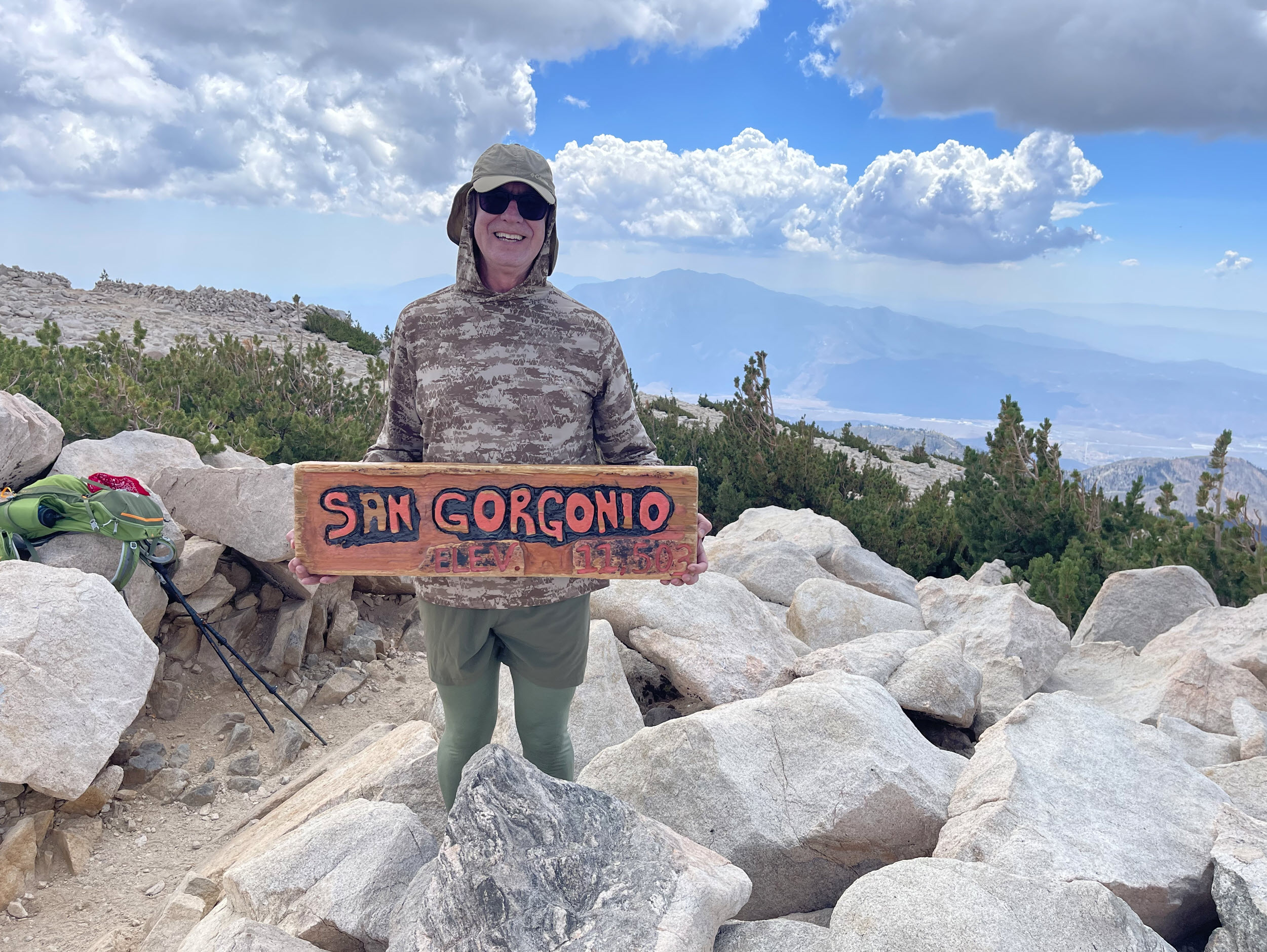
Finally, at the top. Or, as you might call it, men in tights. This photo does not look like I am at the top, but really, this is the peak. San Gorgonio is also called Grayback sometimes, since its top is huge and broad. In the back behind me you can see good old San Jacinto, a good 800 vertical feet lower than where I am standing here.
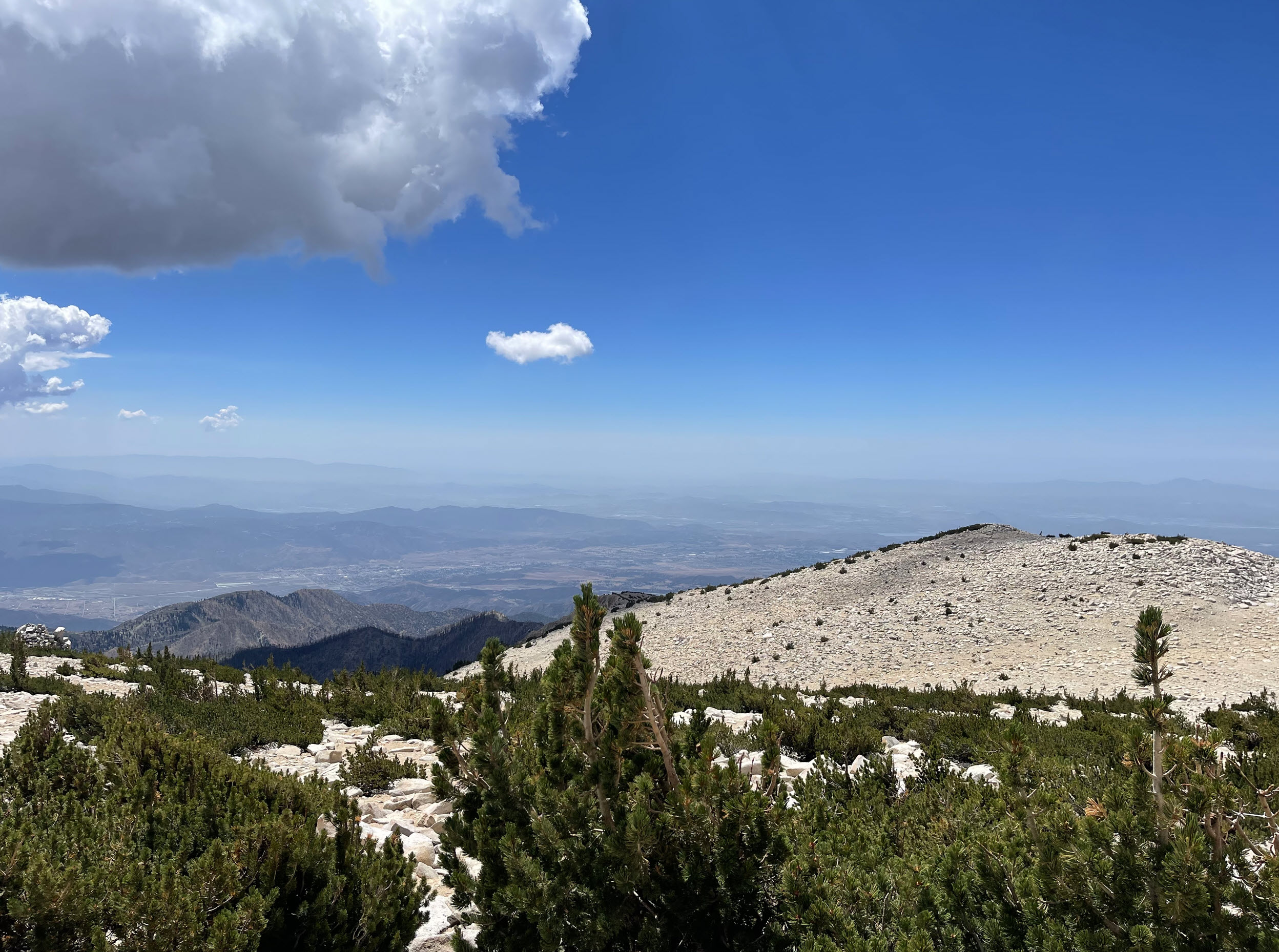
Here is looking west from the peak. The broad expanse of granite is evident.

Here is looking east from the peak. Over the decades, hikers have built dozens of rock shelters against the wind. You can make some out on the ridge on the left. I have always wanted to stay a night up here. While talking to my wife about the Perseid meteor shower, it gave me the idea to come up here next year during the shower for a 3-day backpacking trip, and spend a night in the glory of high altitude, whipping winds, freezing nights, lack of oxygen, and — this makes it all worthwhile — unimpeded views of the meteors. I probably won’t get much sleeping done, but the experience will be glorious.
Time to put it on the calendar.