
Driving south from Kihei or Wailea, the scenery changes quickly from the island’s most exclusive resorts, like the Grand Wailea, to ever more rustic scenes, including the Makena beaches, and on to the Ahihi bay with its world-famous snorkeling spots. The road gets sketchier with every mile, crosses over long stretches of lava fields and eventually it becomes rough dirt. And then it finally ends. You can’t drive any further. There is a small rocky parking area at Hoapili trailhead.
The Hoapili Trail is an easy hike at the southern coast of Maui.
We got there early, around 8:00 am, and there were plenty of parking spots. It fills up quickly later in the day. On the hike out, we encountered no other hikers, except one other couple at the end of the trail. There were a few groups we met on the hike back.
The whole 3.3 mile round-trip hike took about 2.5 hours, which included breaks for snacks.
You do not want to do this hike without proper shoes. We both had our hiking boots. It would be outright dangerous with sandals. Don’t even think about it. You need at least a quart of water per person, and you need sunscreen or protective clothing.
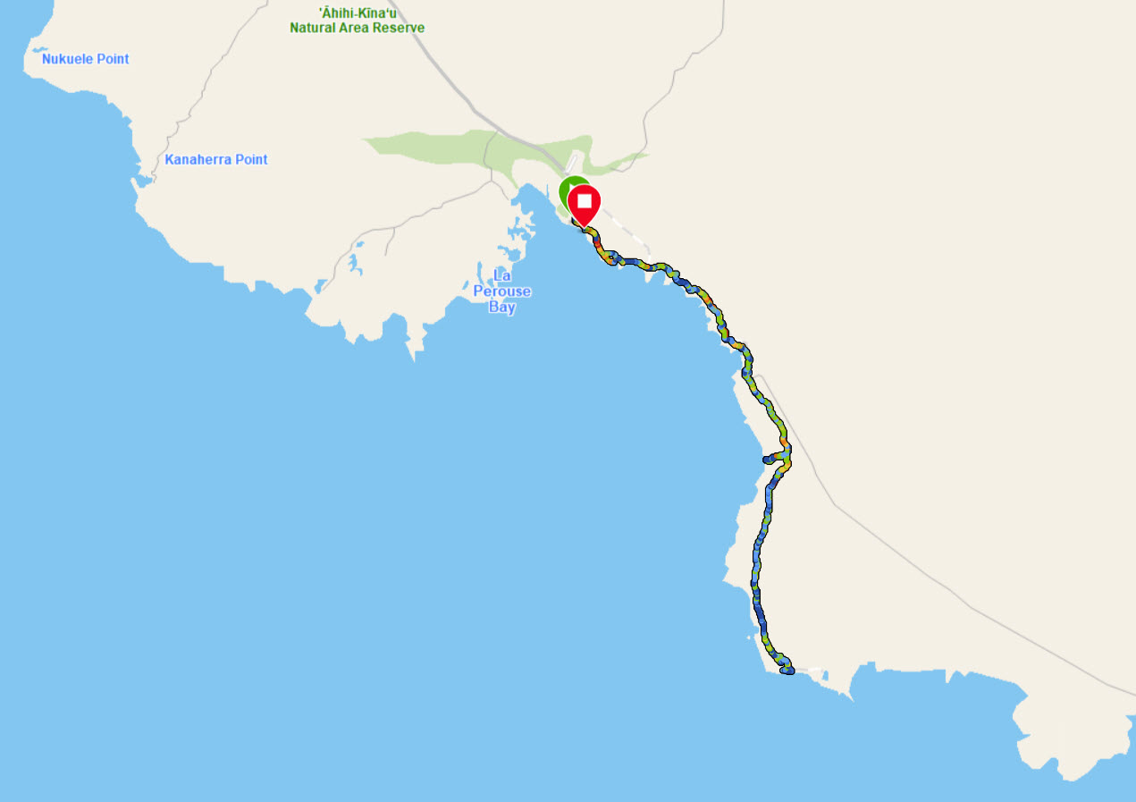
As the map shows, you go out and back on the same trail. There are a few side loops, but we didn’t take any of those.

Here I am at the beginning section, before the trail reaches the lava fields.

And here is Trisha, coming up behind me.

There are dense and gnarly trees all around. The trail is pretty sketchy and sometimes tricky to find.

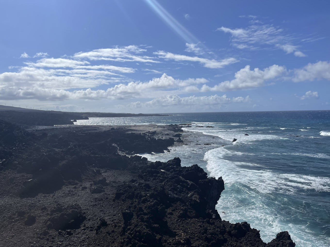
All along there are scenic views of great beaches, but really no good access to the water. The rocks are very sharp, the surf is rough, there really isn’t any convenient or safe access.

Right next to the beaches there are jungles everywhere. I am just glad there are no snakes in Hawai’i.
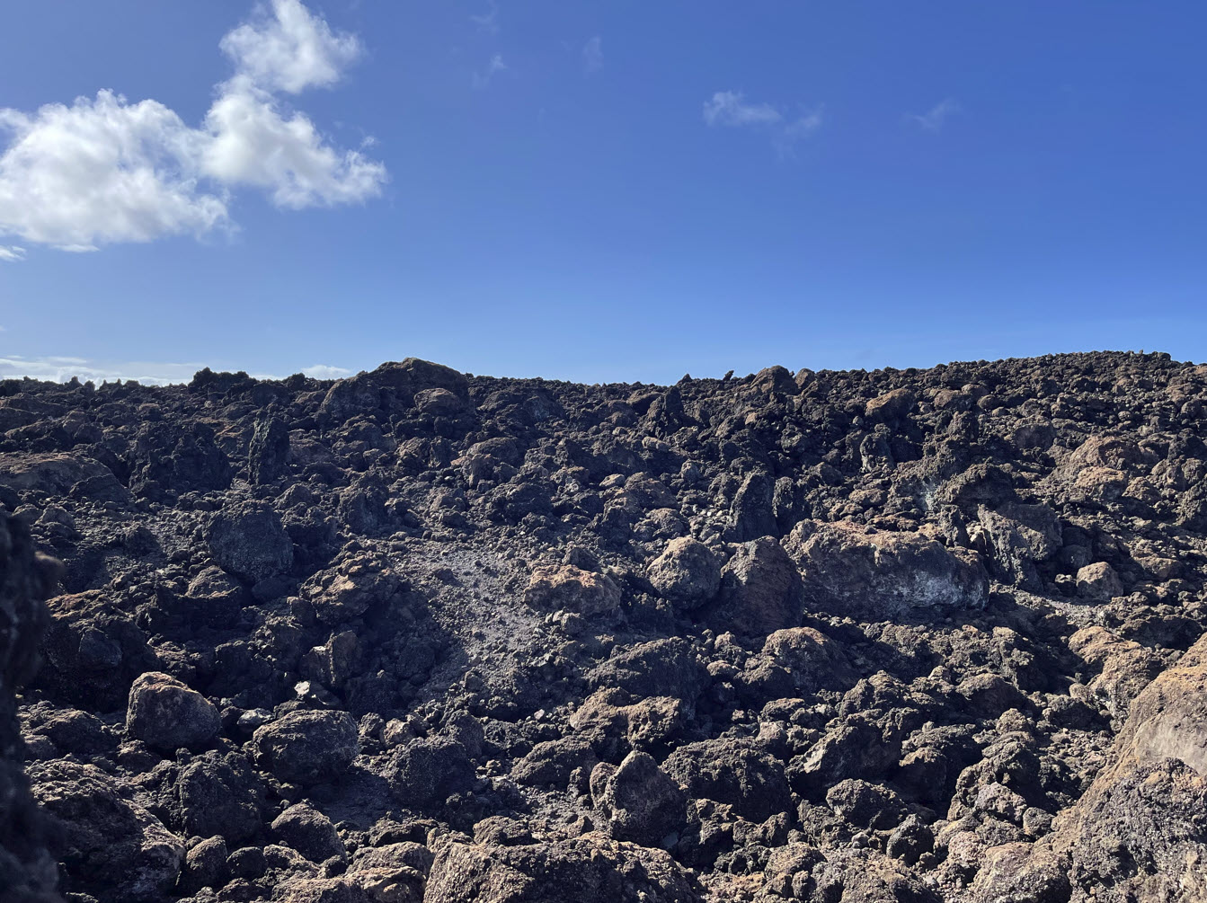
The trail traverses large lava fields. The rocks are sharp as knives and it’s best to stay on the trail.

Here is a look back on the trail across the lava flow, with Trisha for scale.
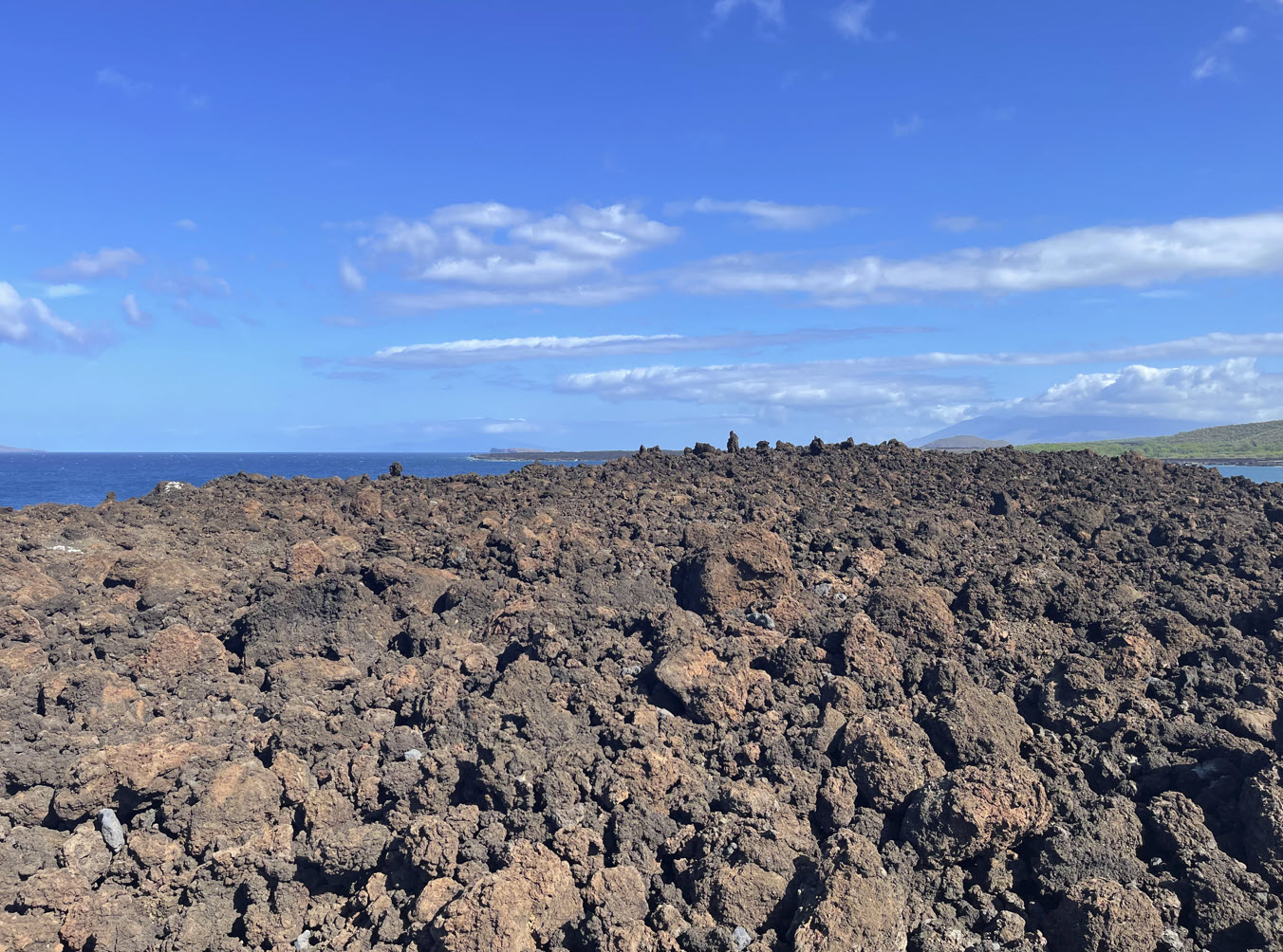
Looking west is the ocean.
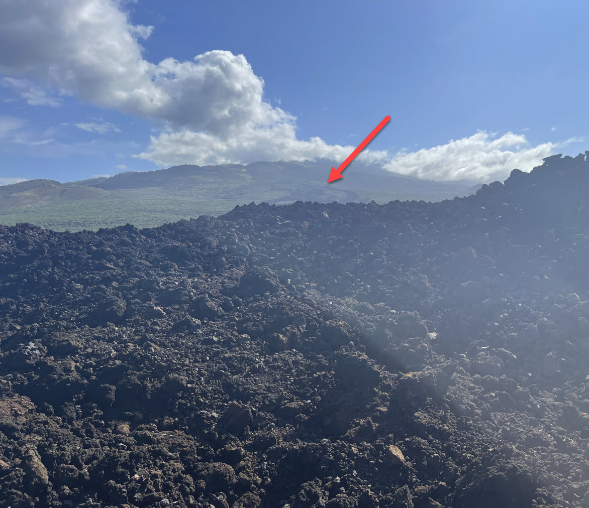
And looking east we can see the massive slopes of Haleakala, with the peak shrouded in clouds, as usual. When you look at the arrow you can see black streaks, which is part of the lava flow we’re standing on here, just way up on the mountain from where it originally came.
Finally, we arrive at the end of the trail. This is Hanamanioa Point.
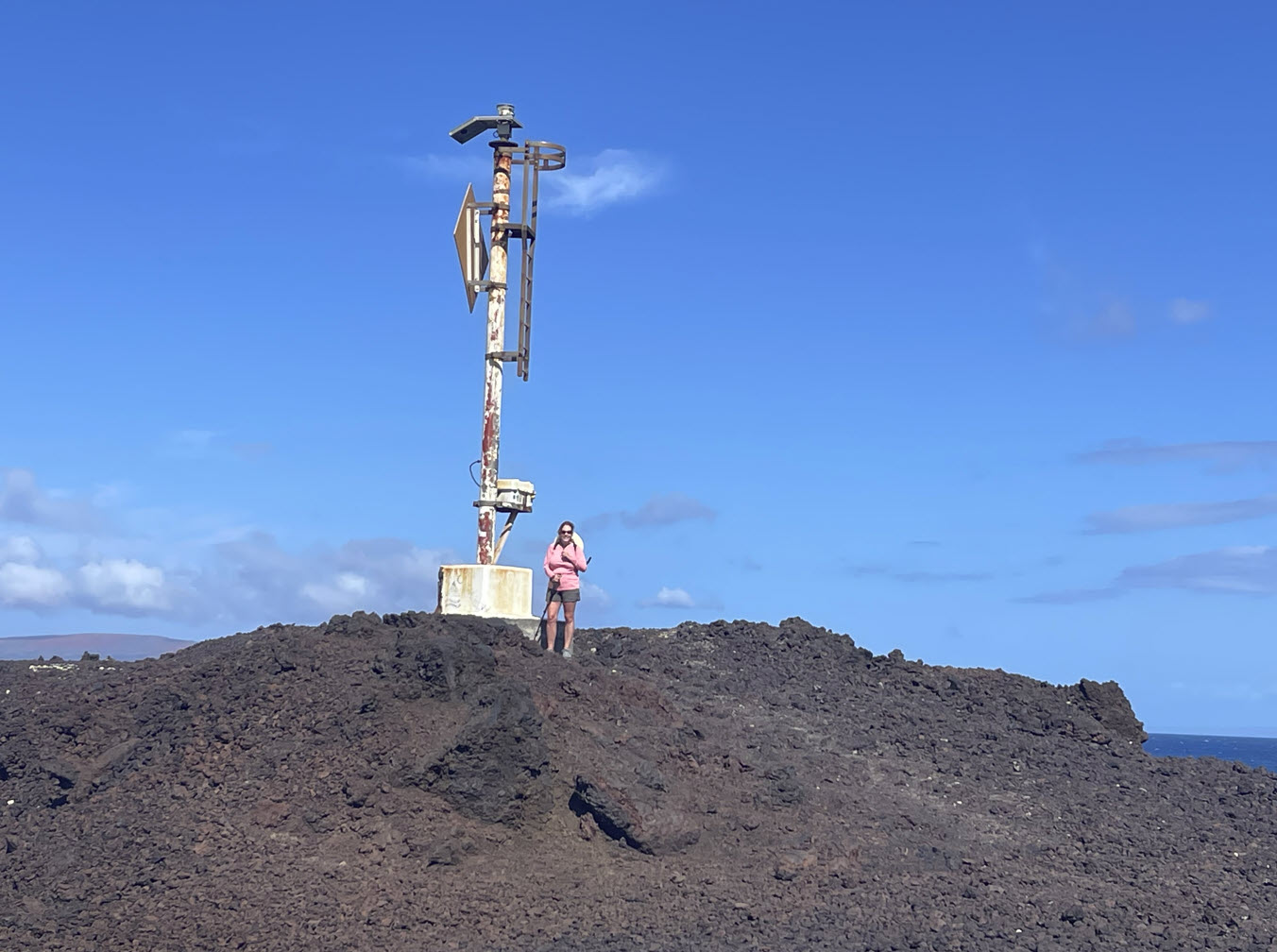
The guide book says there is a lighthouse. It’s really a pole with a light on it.
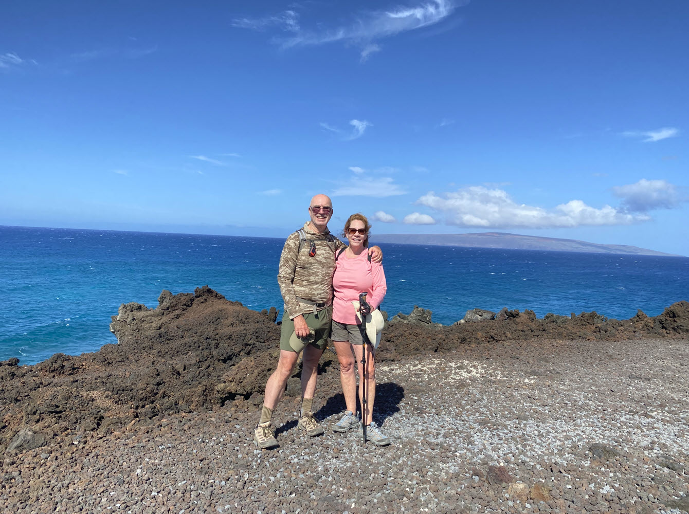
Here we are, the happy hikers. The only other person on the tail was resting there and took our picture. In the background you can see the island of Kaho’olawe. It is still uninhabited and off-limits after being used by the U.S. Navy during World War II for bombing practice.
On the hike back we were careful not to twist any ankles or fall on sharp rocks.
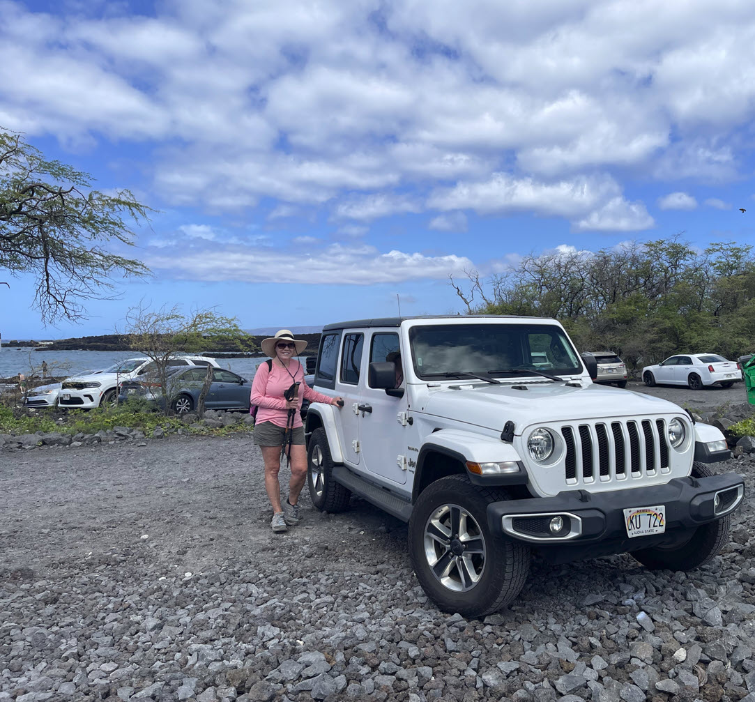
Here we are, back at the car, by around 10:30 am. The day was still young.