
I have hiked San Jacinto Mountain many times over the years. But it’s been a while that I have been on the peak, and I thought it would be nice to do it in winter. I took the Palm Springs Aerial Tram up to the mountain station at 8,600 feet and started hiking. It didn’t take long for the trail to be covered with snow.
At the ranger station they asked me where I was headed, and I told them “the Peak” unless I change my mind along the way. They gave me an overview of the condition and made sure I was equipped. Warm clothes, proper shoes, etc.
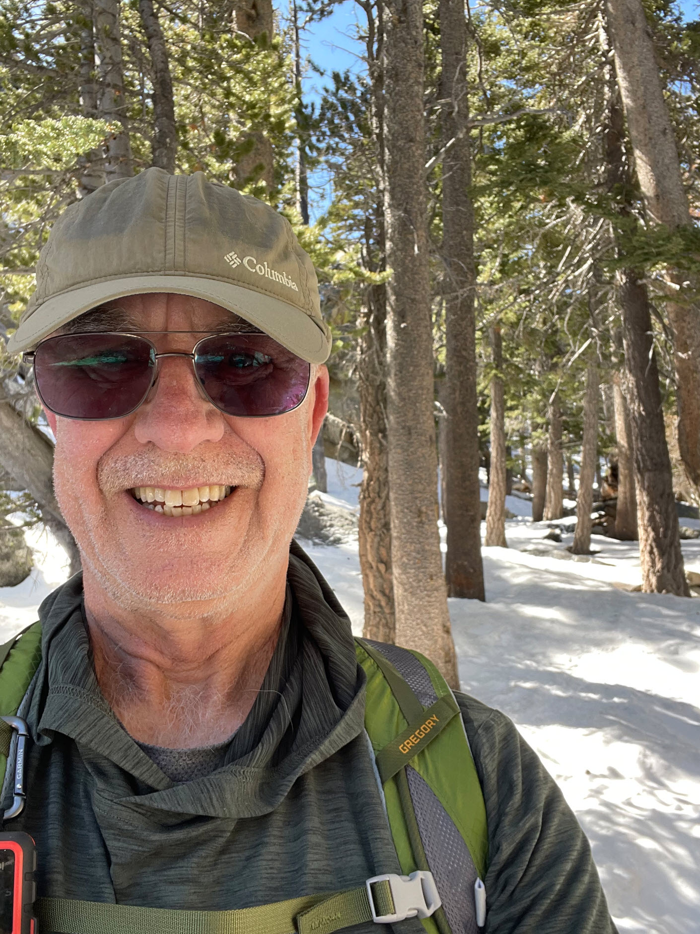
Here is a quick selfie just as the snow started not far after leaving the ranger station.
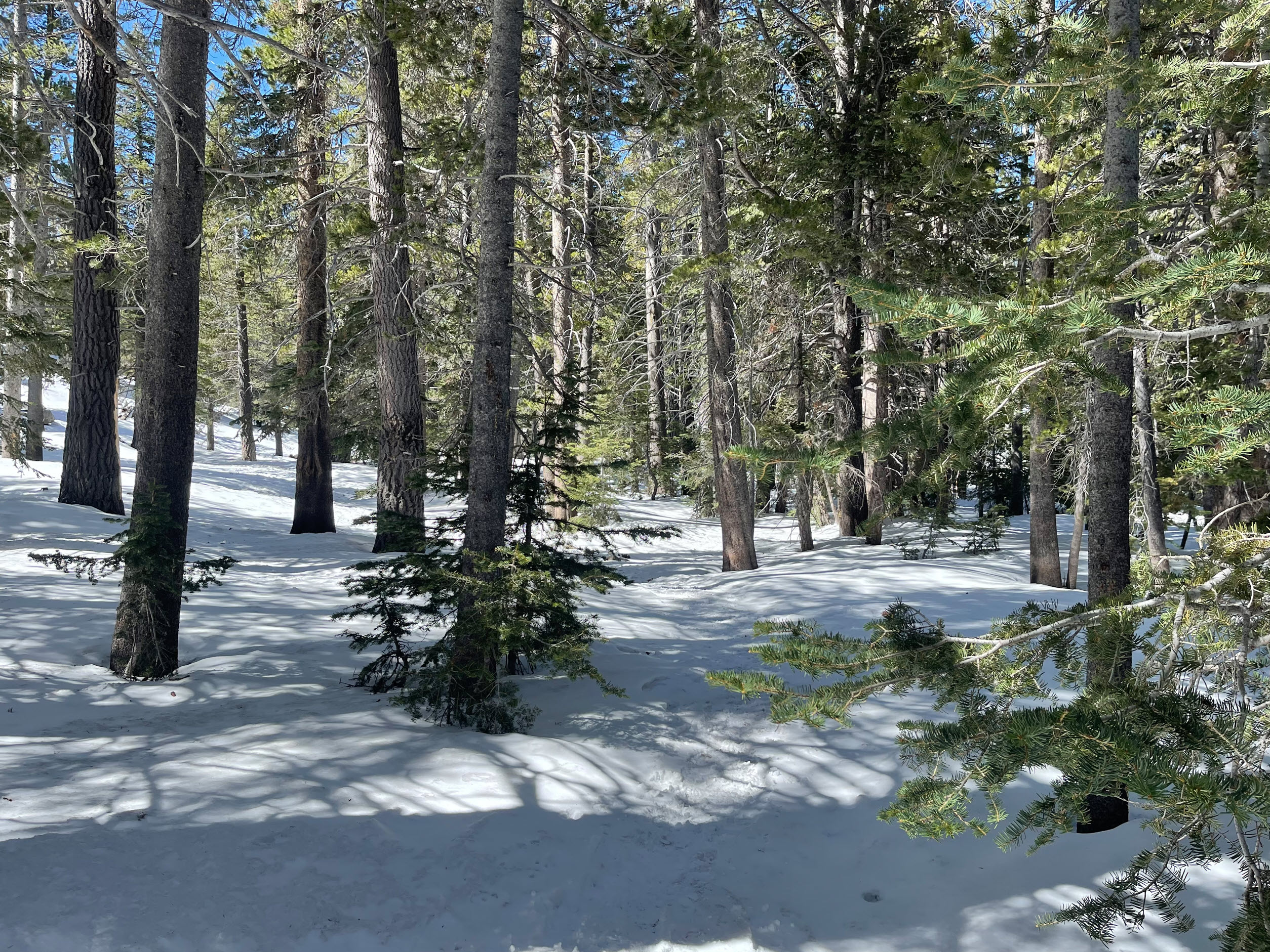
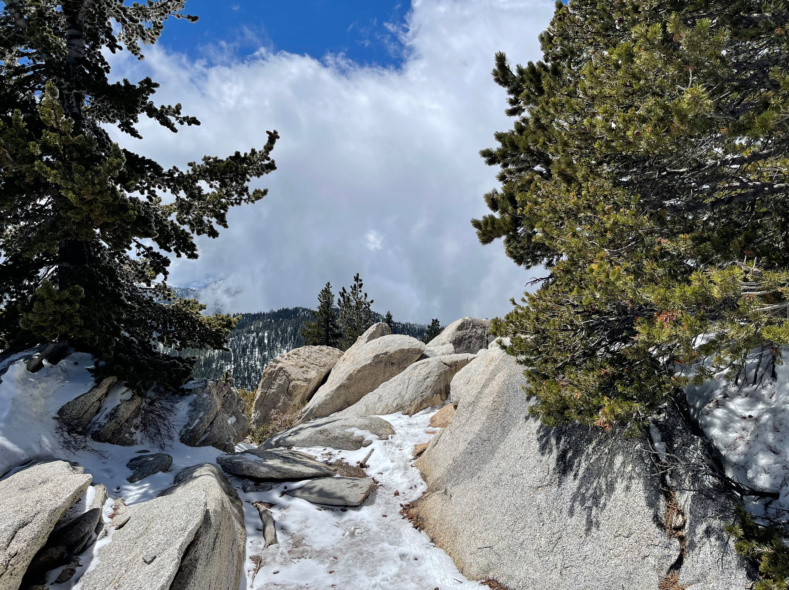
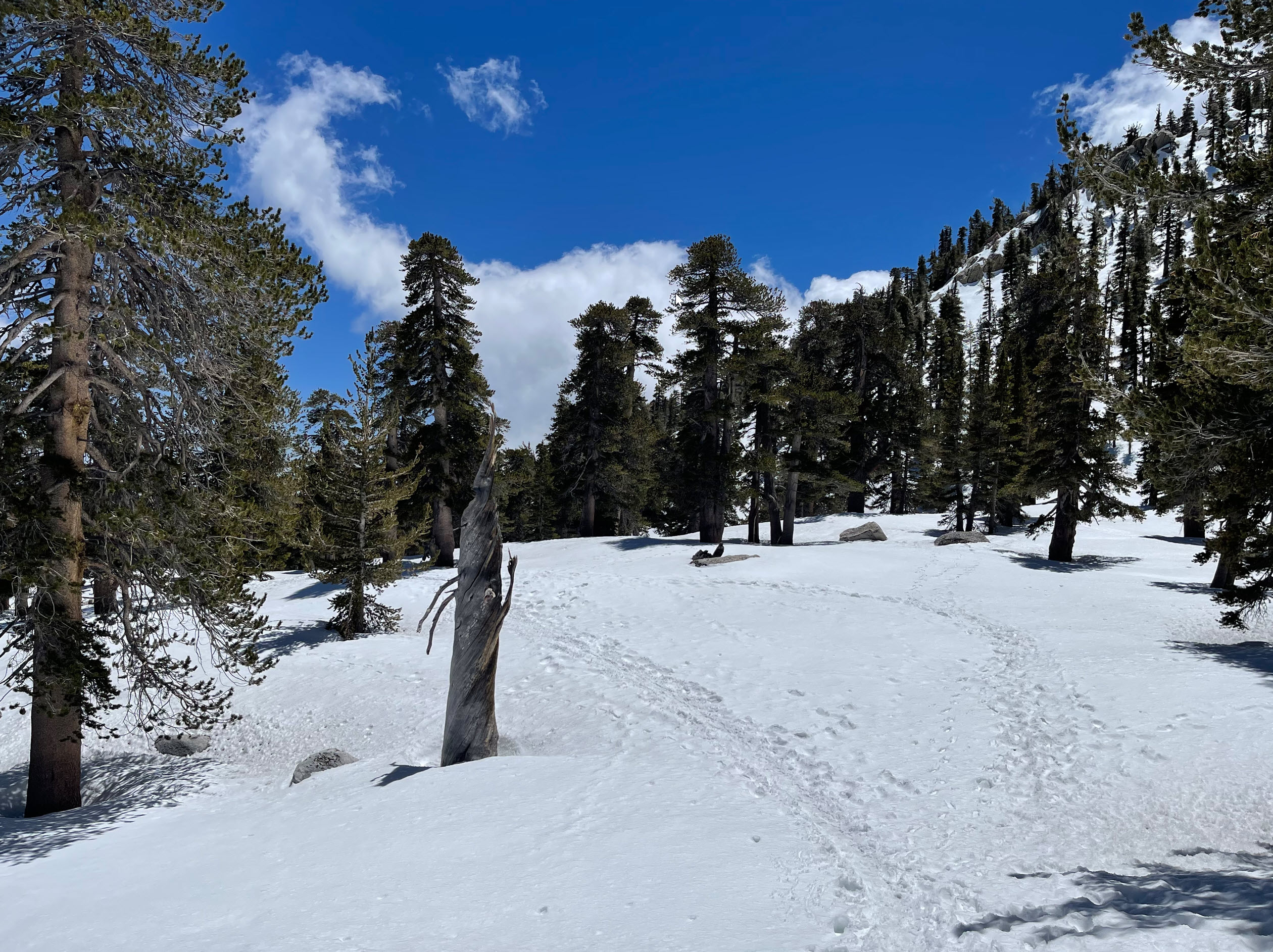
It is was a true winter wonderland. Only if you look carefully can you make out the trail, just by the footsteps that other hikers had left. Without them, I’d be lost in minutes.
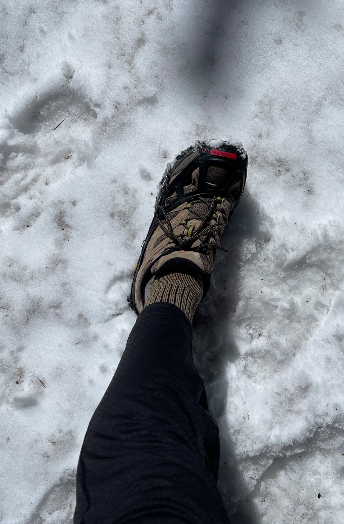
I knew I would need micro spikes. Here are my boots with them on. Note that I am not wearing high boots or gaiters. What you can’t see is that my boots are also not the waterproof kind. What would I need those for, right?
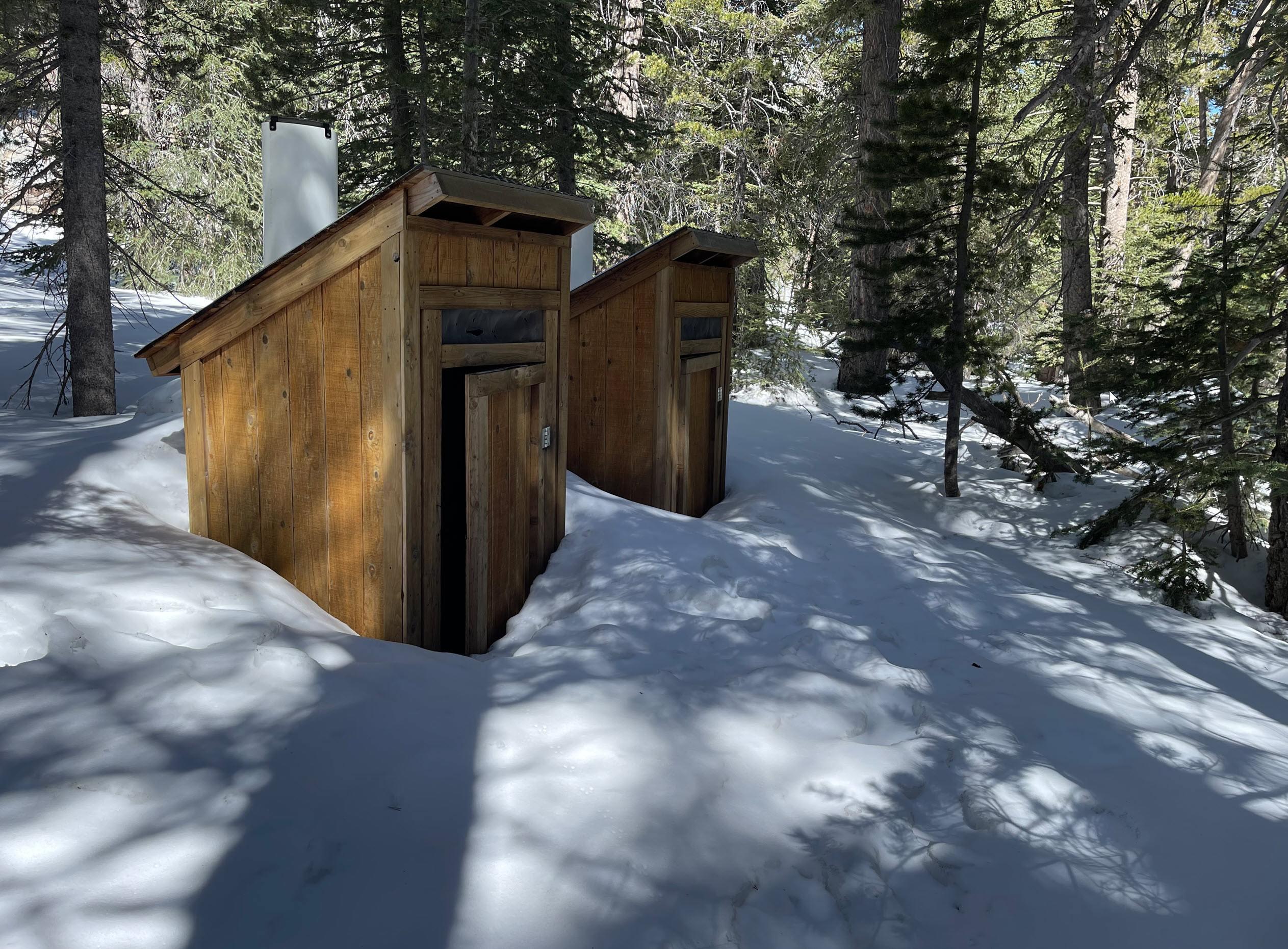
Along the way to Little Round Valley, there are a few toilets. You’d have to be pretty skinny to get into one of those. They give you a sense, however, how deep the snow is.
One of the landmarks along the trail is Wellman Divide. This is where the Pacific Crest Trail meets up with the other trails and there are dramatic views down into the valleys to the south, here behind me.

I took a shot down into the valley from Wellman Divide. It’s neat when the clouds are below you and you’re not in an airplane.
As I made my way up, I came upon a few other hardy hikers. Most had snowshoes with them. I of course did not.
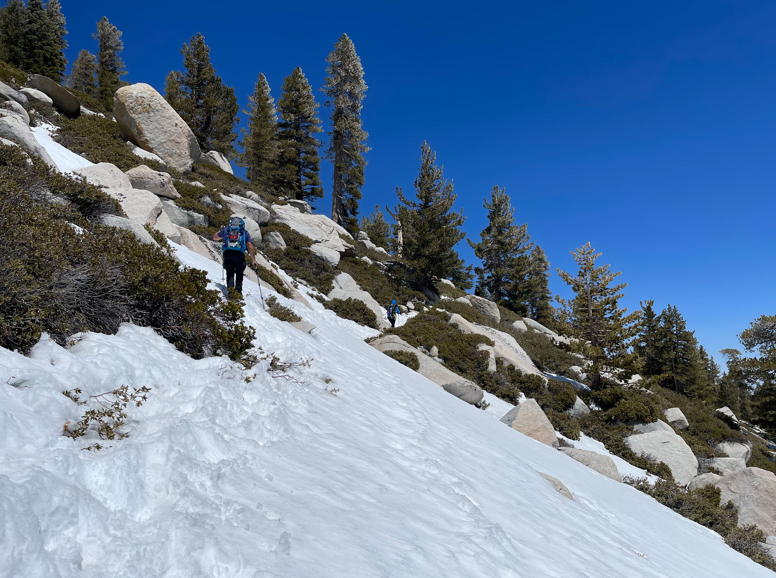
Eventually, at about 10,000 foot altitude the now got to be very deep and my equipment started to fail. It was also time to turn around. I usually set a turn-around time for myself, particularly when hiking alone, to be safe. This was the view from that point:
Several things, beyond running out of time, became apparent:
- I didn’t have snowshoes with me, so I started to sink deep into the snow, and the snow would get into my boots making my socks wet and feet cold quickly.
- Not wearing gaiters also contributed, of course.
- Not wearing high-top waterproof boots. My boots are great for fast trail hiking in fair weather and summer, but they are not suitable for snow.
- My poles didn’t have the little round stoppers that can be attached so they would not sink into the snow. I had left those in my garage at home. My poles literally sank all the way to the handles into the snow and I was effectively without the support of poles.
- I realized that going back down (for miles) under those conditions, I would sink deeply into the snow and it would not only be treacherous, but very slow.
For all those reasons, it was time to turn around. The one-way trip to the peak from the tram station is six miles and about 2,200 feet of elevation change. The peak is at approximately 10,800 feet. I turned around at 4.3 miles (about 1.7 miles short).
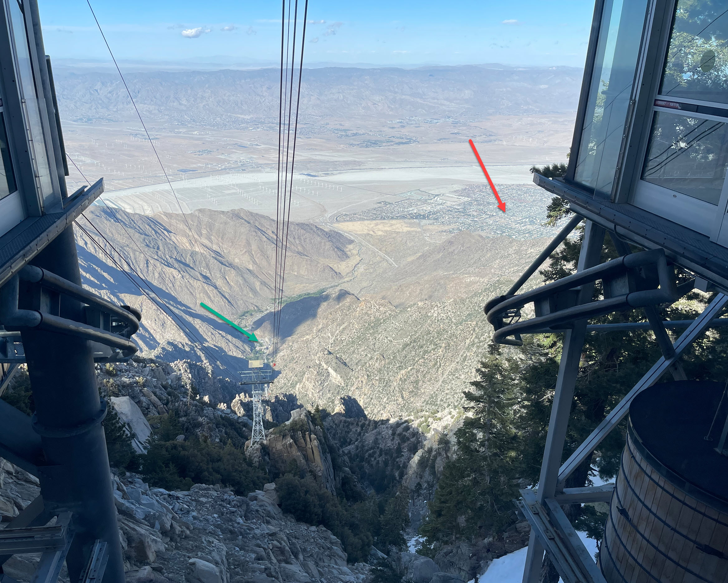
I took one shot down from where I stood:
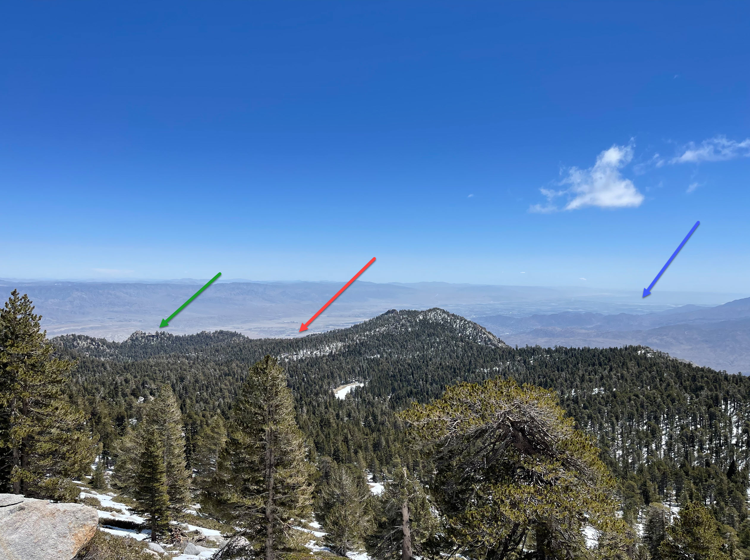
When you look carefully (click to zoom in) at the green arrow, you can see the faint outline of the mountain station from where I started my hike. The red arrow points to Palm Springs in the valley literally 10,000 feet below. The blue arrow points to the Salton Sea in the far distance.
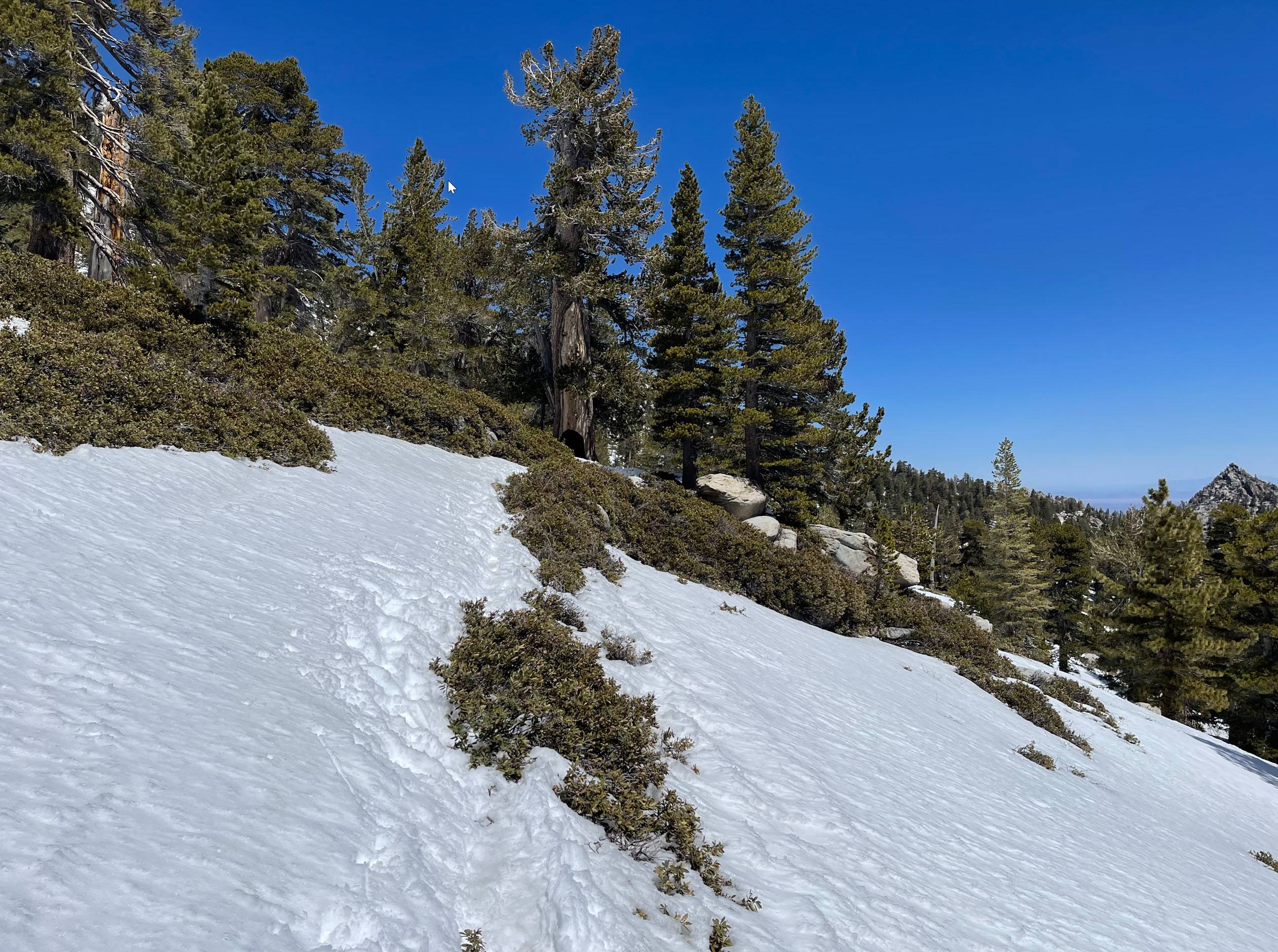
The trail going back down was as challenging as I had anticipated. Going down requires harder steps and often my entire legs would crash through the snow and sink deep. It made for exhausting hiking.
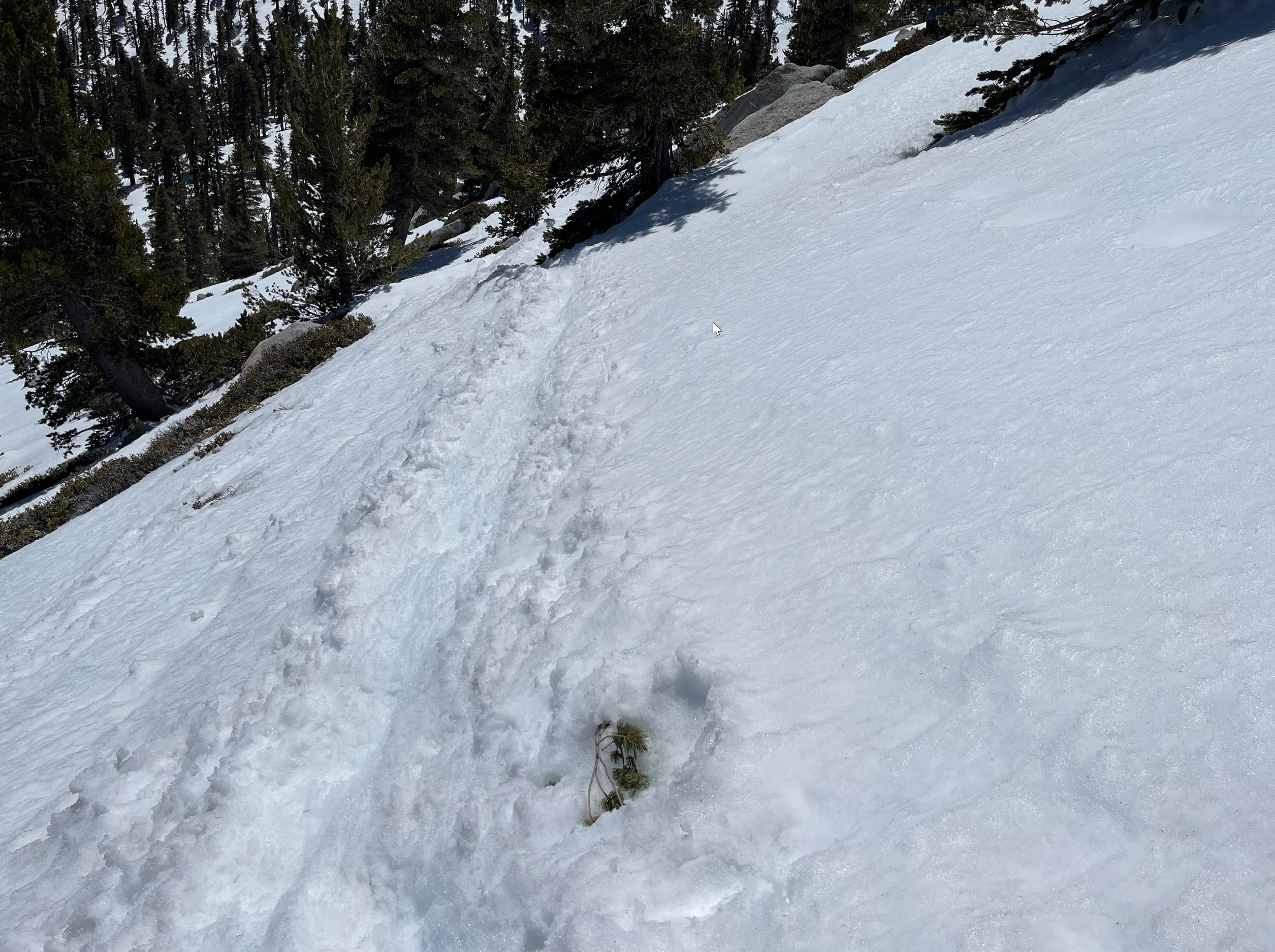
Sometimes there were harder ice spots with better traction, like here:
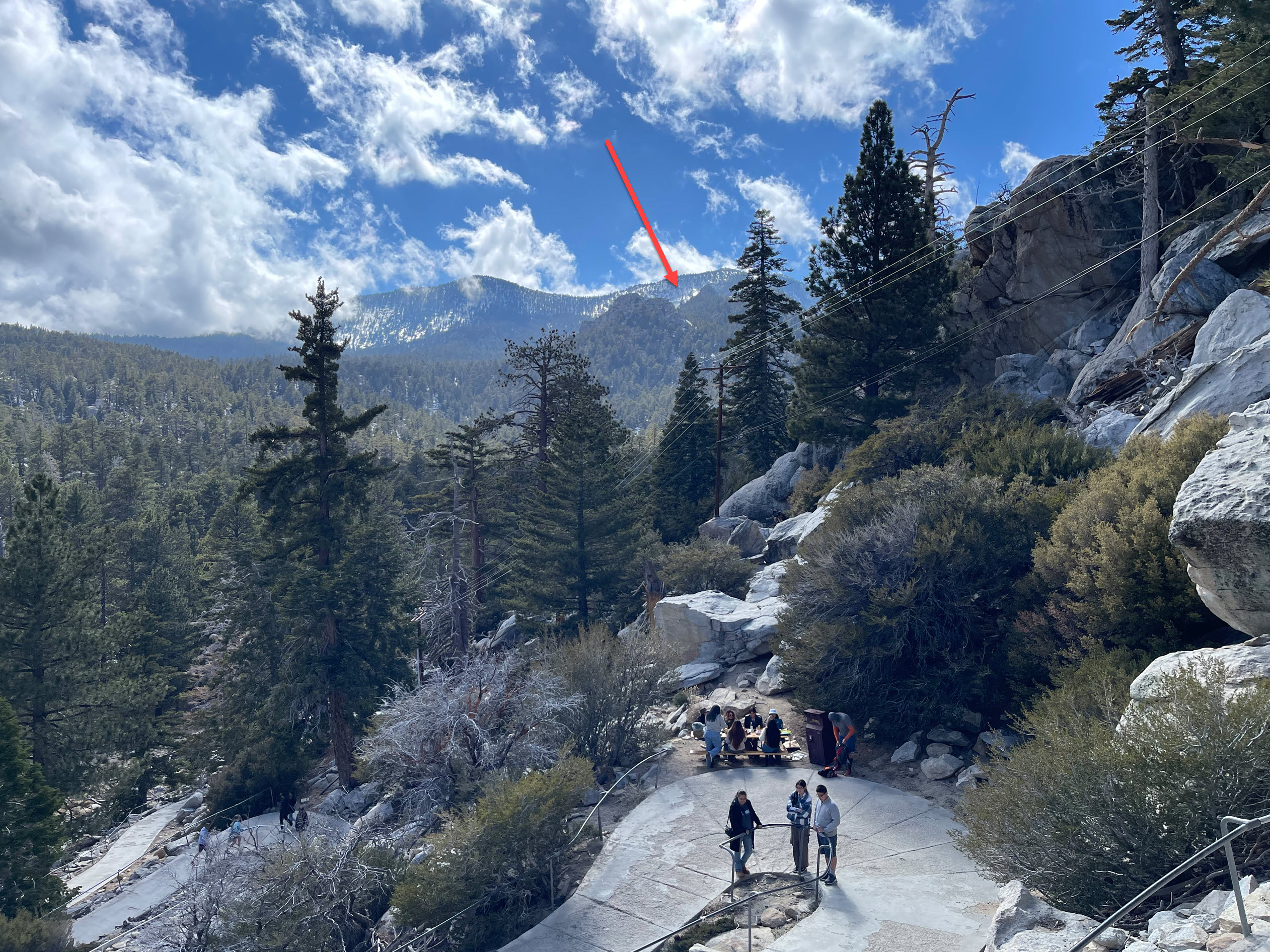
After hiking for 7 hours and a total of 8.3 miles, I arrived back at the mountain station. Here I am taking a shot back to where I was. The red arrow points to the approximate turn-around point from where I took the other photo above, pointing out the mountain station.
From the tram station, there is a good view into the valley. The green arrow points to the parking lot where I left my car, literally 6,000 feet lower than were I stand. The red arrow points to Palm Springs, 8,000 feet lower. The tram ride just takes about 10 minutes.
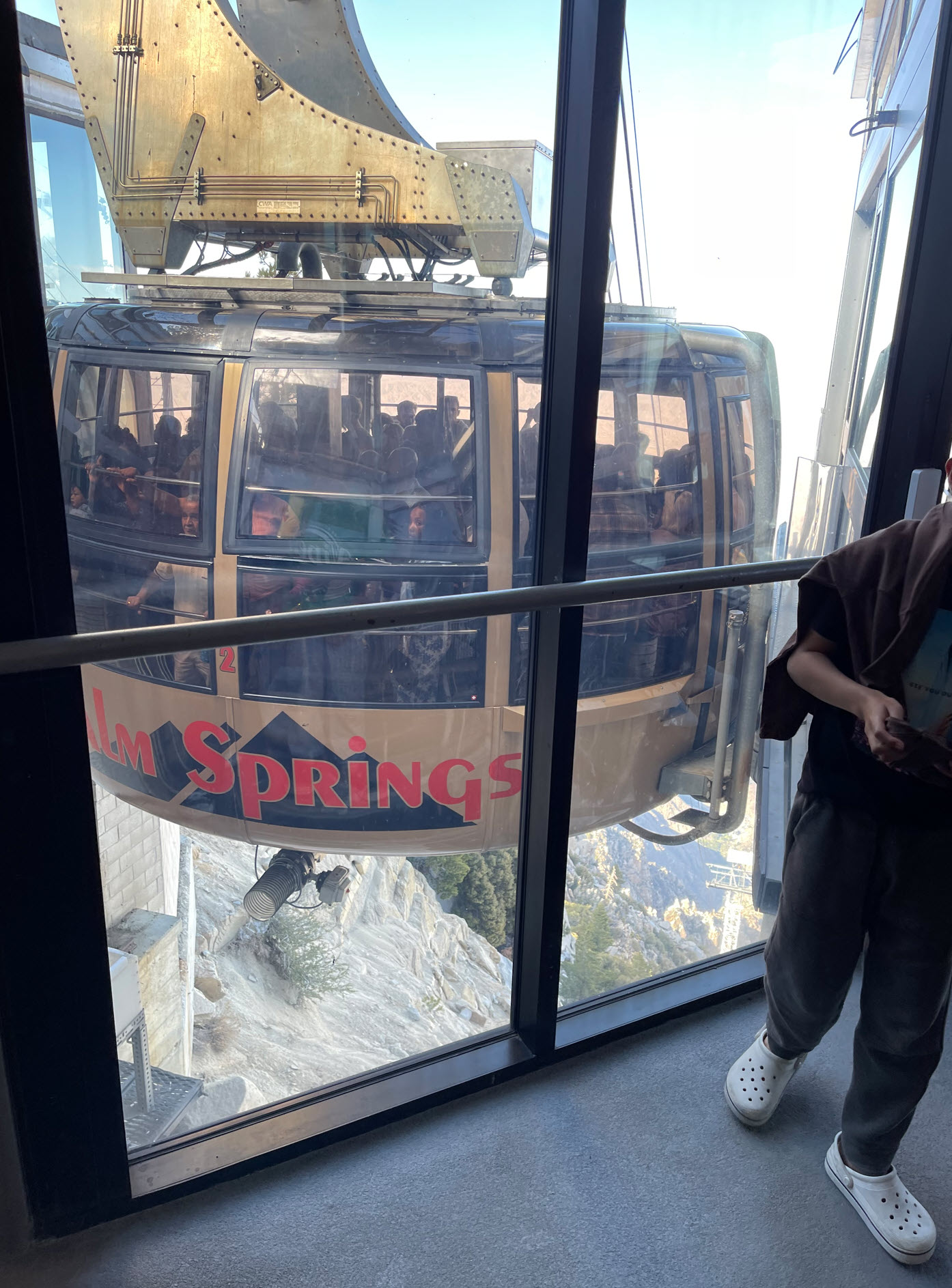
Here is a shot of the tram car coming up just before the passengers get out.
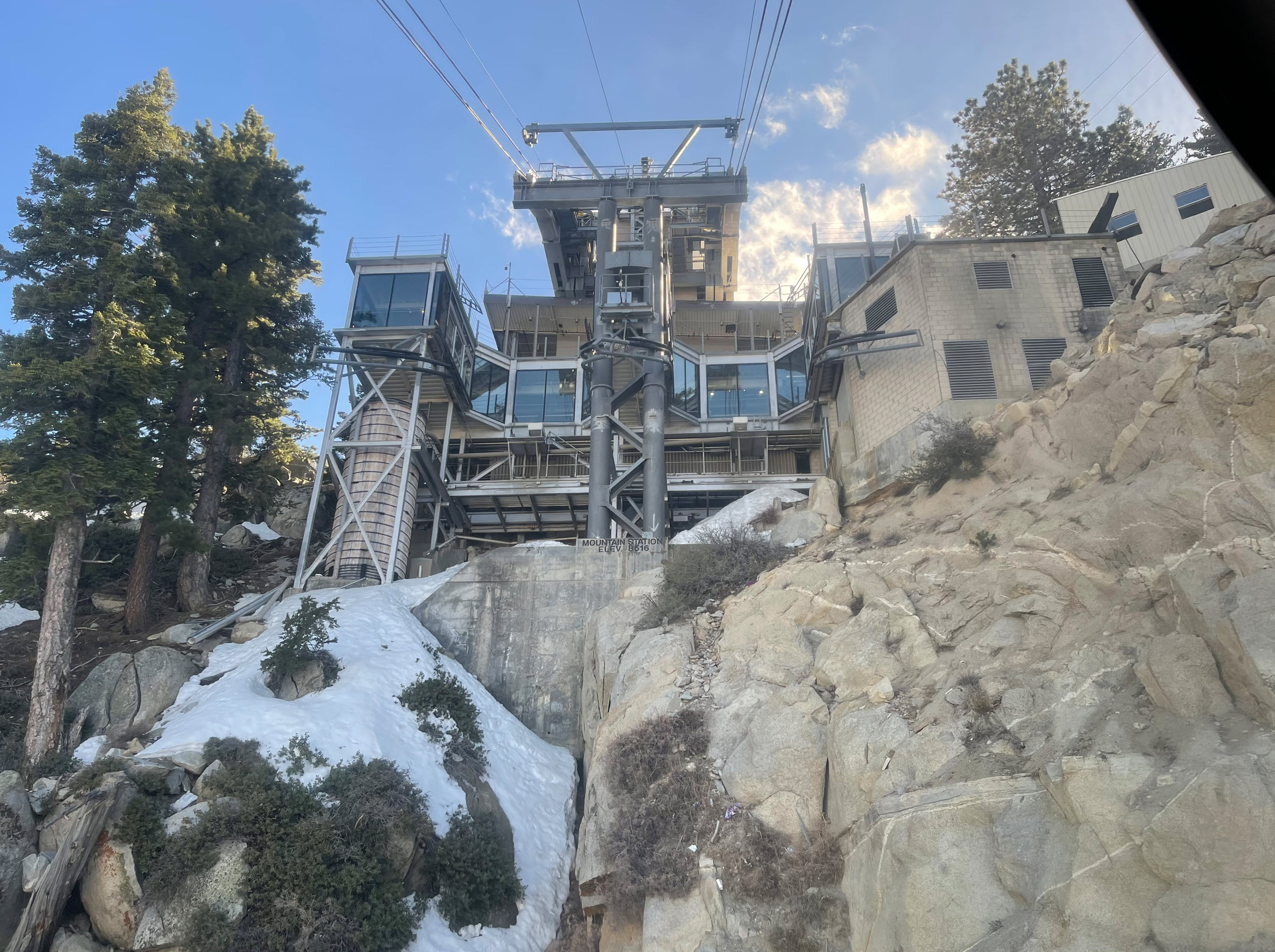
Looking back up from inside the tram I have a dramatic view of the mountain station.
On the way down, the scenery is dramatic, superimposing massive granite walls in front of the endless desert below.

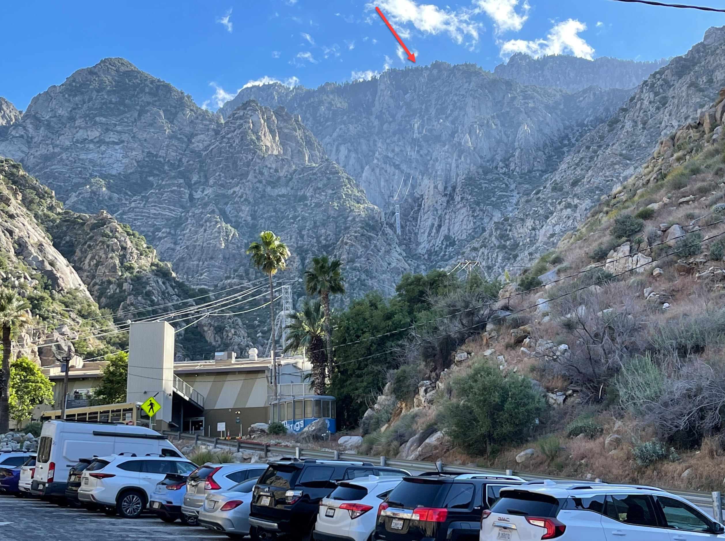
Finally, 15 minutes later, I am back at my car, stiff, exhausted, with a lingering altitude headache, looking back up from where I’d just come from. The red arrow points to the mountain station, which is not even discernible from this distance.
All in all, a great hike, and I have to go back soon. But I think I’ll wait for most of the snow to be gone.